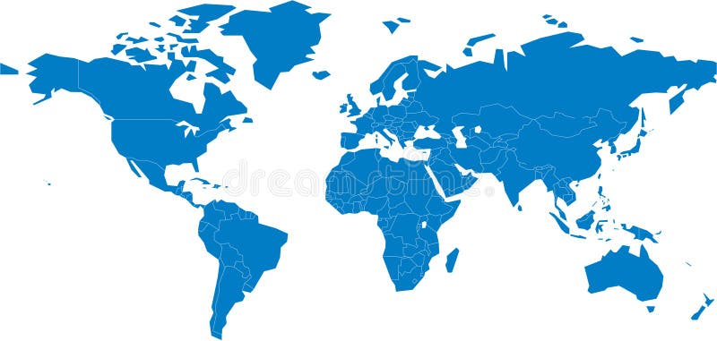
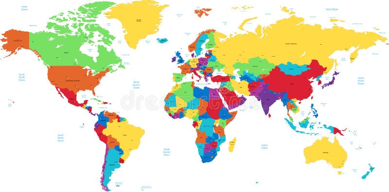
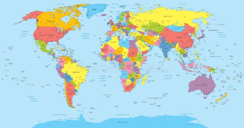
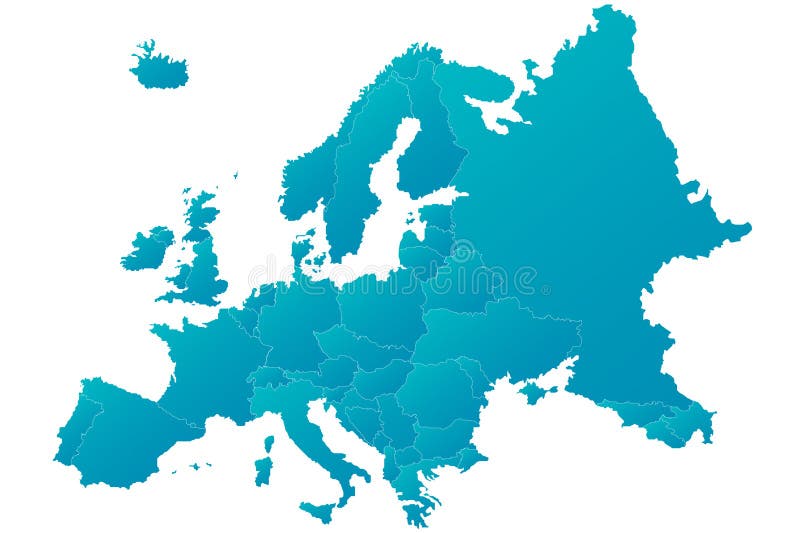
Free with trial World map. Of continents on white background. Continent vectors World map. Of continents on white background
Free with trial United States map. Hawaii and Alaska. Continent vectors United States map. Hawaii and Alaska
Free with trial Vector world map. Isolated over a white background. Continent vectors Vector world map. Isolated over a white background
Free with trial Vector World map with continent in different color ( flat design ). Continent vectors Vector World map with continent in different color ( flat design )
Free with trial Africa map. Monochrome Africa continent icon. Vector. Continent vectors Africa map. Monochrome Africa continent icon. Vector
Free with trial Vector illustration for the continent of Africa. Over 50 countries including several small islands, rivers and lakes not visible unless zoomed in. Very editable if needed. Continent vectors Africa Continent Flag Map. Vector illustration for the continent of Africa. Over 50 countries including several small islands, rivers and lakes not visible. Vector illustration for the continent of Africa. Over 50 countries including several small islands, rivers and lakes not visible unless zoomed in. Very editable if needed.
Free with trial Vector map of Africa continent colored by regions. All flags of African countries arranged in alphabetical order. And singled out by regions. Continent vectors Vector map of Africa continent colored by regions. All flags of African countries arranged in alphabetical order. And singled out by regions
Free with trial Political map of Asia. The continent with the fastest growing economy. Continent vectors Political map of Asia. The continent with the fastest growing economy
Free with trial A map of the African continent with each country on the continent colored in bright colors. Names of the countries and their capital are shown on a map too. Continent isolated on a white background. Continent vectors Map of Africa. A map of the African continent with each country on the continent colored in bright colors. Names of the countries and their capital are shown on. A map of the African continent with each country on the continent colored in bright colors. Names of the countries and their capital are shown on a map too. Continent isolated on a white background.
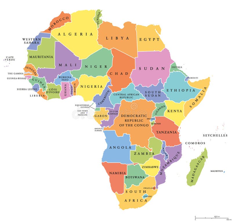
Free with trial Africa single states political map. Each country with its own color area. With national borders on white background. Continent including Madagascar and island nations. English labeling. Continent vectors Africa single states political map. Each country with its own color area. With national borders on white background. Continent including Madagascar and island
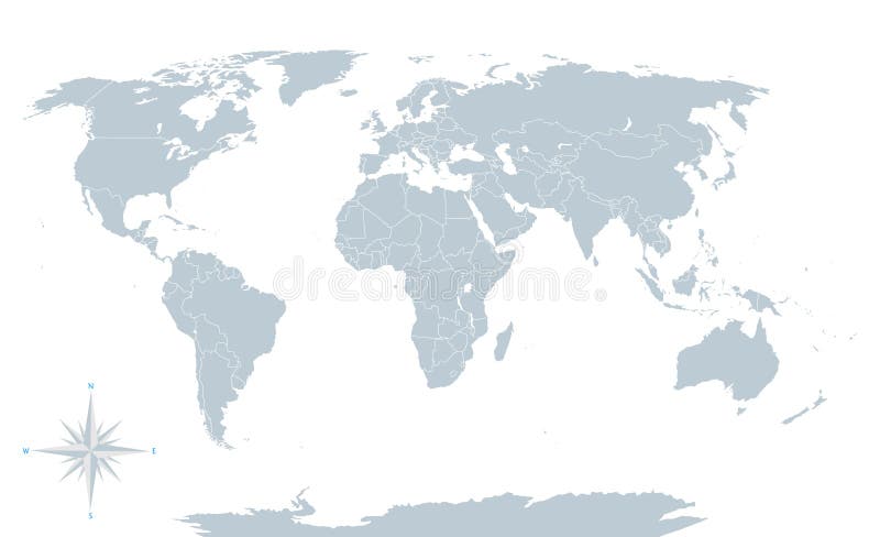
Free with trial Political world map, grey, with white borders. Every state and continent labeled and selectable. Versatile file, turn on an off visibility and color of each country in one click. Continent vectors Political world map, grey, with white borders. Every state and continent labeled and selectable. Versatile file, turn on an off visibility and color of each
Free with trial A map of the Australian continent with the states on the continent colored in grey colors and the main cities. Continent vectors Map of Australia. A map of the Australian continent with the states on the continent colored in grey colors and the main cities. A map of the Australian continent with the states on the continent colored in grey colors and the main cities.
Free with trial Vector map of North and Central America Continent with Countries, Capitals, Main Cities and Seas and islands names in strong brilliant colors. Continent vectors Colorful Vector map of North and Central America. Vector map of North and Central America Continent with Countries, Capitals, Main Cities and Seas and islands. Vector map of North and Central America Continent with Countries, Capitals, Main Cities and Seas and islands names in strong brilliant colors.
Free with trial Africa travel map, decorative symbol of Africa. Continent with wild animals silhouettes. Continent vectors Africa travel map, decorative symbol of Africa. Continent with wild animals silhouettes
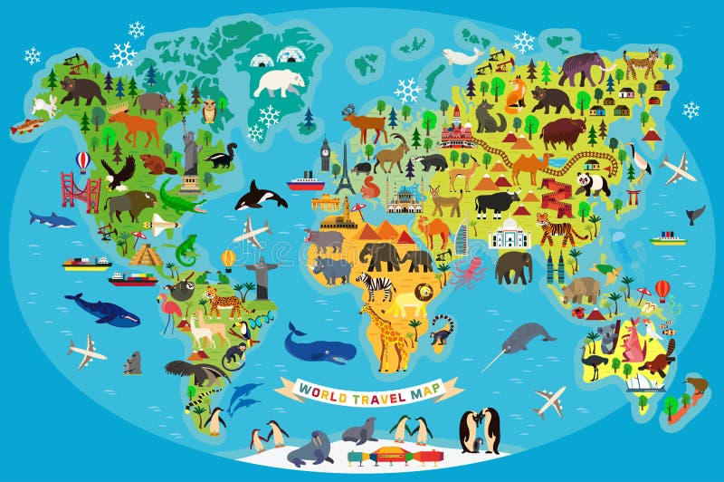
Free with trial Animal map for kid. World vector poster for children, cute illustrated. Preschool cartoon globe with animals. Oceans and continent: South America,Eurasia,North America,Africa, Australia. Baby world map. Continent vectors Animal map for kid. World vector poster for children, cute illustrated. Preschool cartoon globe with animals. Oceans and continent: South America,Eurasia,North
Free with trial Cartoon australia map with animals. Cartoon australia continent map with landscapes and cute animals. Vector illustration. Continent vectors Cartoon australia map with animals. Cartoon australia continent map with landscapes and cute animals.Vector illustration
Free with trial The continent of africa. Continent vectors Africa. The continent of africa. The continent of africa.
Free with trial America. The continent of North America. Continent vectors America. The continent of North America
Free with trial The continent of australia. Continent vectors Australia. The continent of australia. The continent of australia.
Free with trial World Map Continent. An unfolded map of the world with countries with countries' color. Continent vectors World Map Continent. An unfolded map of the world with countries with countries' color
Free with trial Typography world map made of every country name in black and white. Concept text atlas design with continent shapes. EPS10 vector. Continent vectors Text country name world map typography design. Typography world map made of every country name in black and white. Concept text atlas design with continent. Typography world map made of every country name in black and white. Concept text atlas design with continent shapes. EPS10 vector.
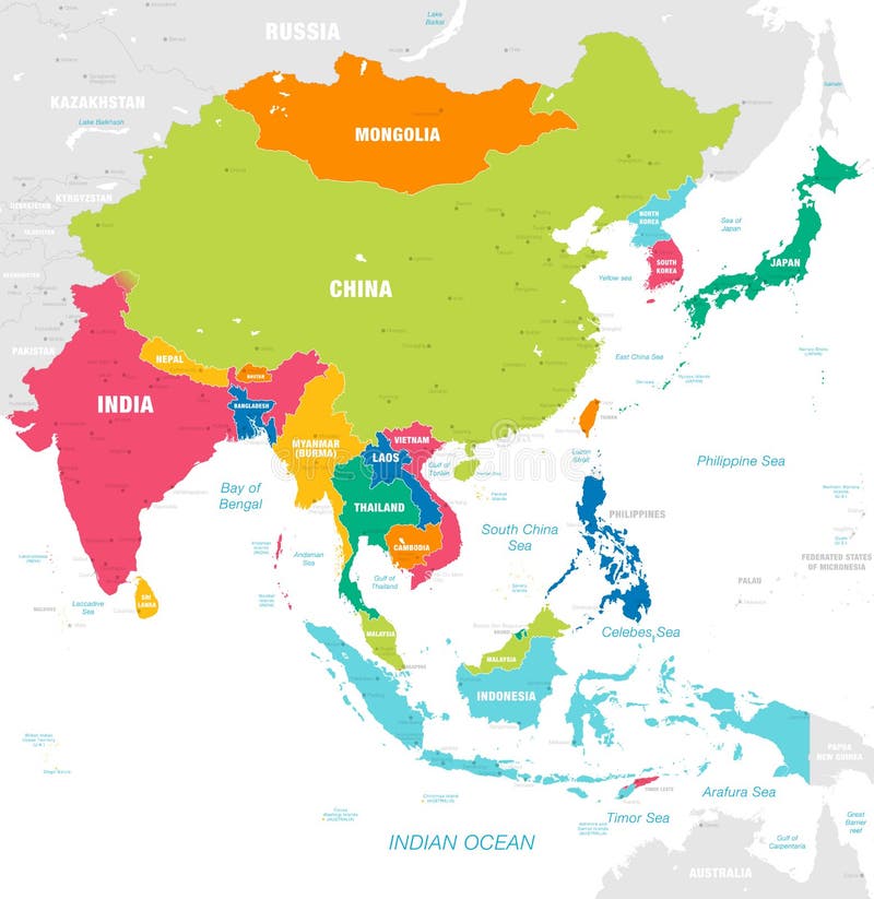
Free with trial Vector map of East Asia Continent with Countries, Capitals, Main Cities and Seas and islands names in strong brilliant colors palette. Continent vectors Colorful Vector map of East Asia. Vector map of East Asia Continent with Countries, Capitals, Main Cities and Seas and islands names in strong brilliant colors. Vector map of East Asia Continent with Countries, Capitals, Main Cities and Seas and islands names in strong brilliant colors palette.
Free with trial Australia simple map outline - smooth simplified continent shape map vector. Continent vectors Australia map. Australia simple map outline - smooth simplified continent shape map vector. Australia simple map outline - smooth simplified continent shape map vector.
Free with trial Diversity concept world map, cartoon people over asia continent. Vector illustration layered for easy editing. Continent vectors Asian people cartoons, world map diversity illustr. Diversity concept world map, cartoon people over asia continent. Vector illustration layered for easy editing. Diversity concept world map, cartoon people over asia continent. Vector illustration layered for easy editing.
Free with trial Almost all national flags collection in format, with legend and divided by continent. Continent vectors National flags collection. Almost all national flags collection in format, with legend and divided by continent. Almost all national flags collection in format, with legend and divided by continent.
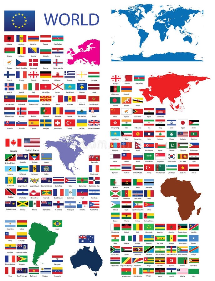
Free with trial Official Flags of the world. Every continent separately. Continent vectors Official Flags of the world. Every continent separately
Free with trial A map of the world. An unfolded map of the world. Continent vectors A map of the world. An unfolded map of the world
Free with trial Continents World map - colorful. Colorful continents world map illustration. Africa , Australia ,America , Asia. Continent vectors Continents World map - colorful. Colorful continents world map illustration. Africa , Australia ,America , Asia
Free with trial Mexico map designed in illustration with states colored in bright colors and with the main cities. Neighbouring countries are in an additional format (. AI) in the latent layer. Continent vectors Mexico map. Designed in illustration with states colored in bright colors and with the main cities. Neighbouring countries are in an additional format (.AI) in
Free with trial Flames. Rapid Flames Vector graphics, Different kinds of flames in different size and shape. all in vector formats. Continent vectors Flames. Rapid Flames Vector graphics, Different kinds of flames in different size and shape. all in vector formats
Free with trial Animal Map of the World for Children and Kids. Vector Illustration. Continent vectors Animal Map of the World for Children and Kids. Vector. Animal Map of the World for Children and Kids. Vector Illustration. Animal Map of the World for Children and Kids. Vector Illustration.
Free with trial World map vector. World map. Map of the world. World map illustration. Black world map. Continent vectors World map vector. World map. Map of the world. World map illustration. Black world map. World map
Free with trial World map on antique or weathered parchment paper. Continent vectors Antique world map. World map on antique or weathered parchment paper. World map on antique or weathered parchment paper.
Free with trial Africa - vector. Africa map outline and silhouette shadowed green vector map. Continent vectors Africa - vector. Africa map outline and silhouette shadowed green vector map
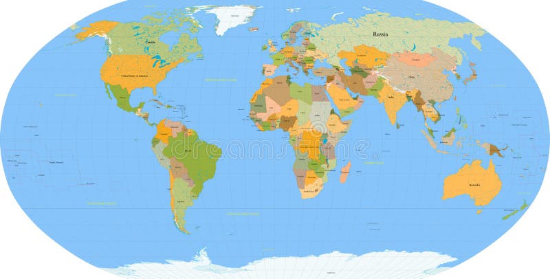
Free with trial World map with each country named and colored. Also available in vector. Lots of aspects can be selected/viewed or unselected (layers) in this vector, such as river names, state borders, names of most important cities etc. Continent vectors World map - vector - detail. World map with each country named and colored. Also available in vector. Lots of aspects can be selected/viewed or unselected (. World map with each country named and colored. Also available in vector. Lots of aspects can be selected/viewed or unselected (layers) in this vector, such as river names, state borders, names of most important cities etc.
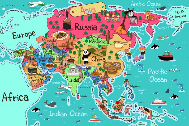
Free with trial Asia Map. A vector illustration of Asia map in cartoon style. Continent vectors Asia Map. A vector illustration of Asia map in cartoon style
Free with trial Europe Map. A vector illustration of Europe map in cartoon style. Continent vectors Europe Map. A vector illustration of Europe map in cartoon style
Free with trial Earth icon, World icon, Globe icon, planet. Earth planet icon, World icon, World Globe icon, Editable outline stroke. Continent vectors Earth icon, World icon, Globe icon, planet. Earth planet icon, World icon, World Globe icon, Editable outline stroke
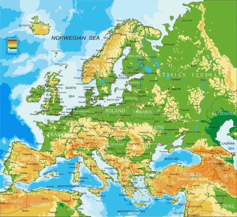
Free with trial Highly detailed physical map of Europe, in vector format, with all the relief forms, countries and big cities. Continent vectors Europe - physical map. Highly detailed physical map of Europe, in vector format, with all the relief forms, countries and big cities. Highly detailed physical map of Europe, in vector format, with all the relief forms, countries and big cities.
Free with trial World map. Color coded map of the world. and illustration. Continent vectors World map. Color coded map of the world. and illustration
Free with trial Detailed World map of blue colors. Names, town marks and national borders are in separate layers. Continent vectors Blue detailed World map. Detailed World map of blue colors. Names, town marks and national borders are in separate layers. Detailed World map of blue colors. Names, town marks and national borders are in separate layers.
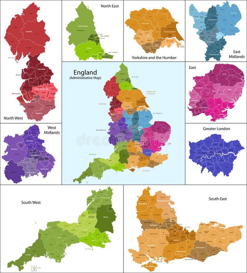
Free with trial The map shows the current subdivisions of England with a principal local authority: two-tier non-metropolitan counties and their non-metropolitan districts, metropolitan boroughs, unitary authorities, London boroughs and the sui generis City of London and Isles of Scilly. Continent vectors England map. The map shows the current subdivisions of England with a principal local authority: two-tier non-metropolitan counties and their non-metropolitan. The map shows the current subdivisions of England with a principal local authority: two-tier non-metropolitan counties and their non-metropolitan districts, metropolitan boroughs, unitary authorities, London boroughs and the sui generis City of London and Isles of Scilly
Free with trial Scotland map. Scotland is divided into 32 areas designated as council areas which are all governed by unitary authorities designated as councils. Continent vectors Scotland map. Scotland is divided into 32 areas designated as council areas which are all governed by unitary authorities designated as councils
Free with trial South America. Vector map of america and illustration. Continent vectors South America. Vector map of america and illustration
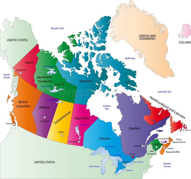
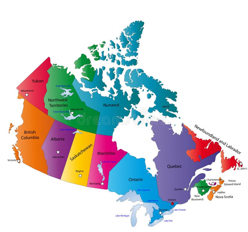
Free with trial Canada map designed in illustration with states colored in bright colors and with the main cities. On an illustration neighbouring countries are shown too. Continent vectors Canada color map. Canada map designed in illustration with states colored in bright colors and with the main cities. On an illustration neighbouring countries. Canada map designed in illustration with states colored in bright colors and with the main cities. On an illustration neighbouring countries are shown too
Free with trial Color Political World Map Illustration. Continent vectors Colored World Map. Color Political World Map Illustration. Color Political World Map Illustration.
Free with trial Technology world map. A connected tech technology world earth map with the continents. Continent vectors Technology world map. A connected tech technology world earth map with the continents
Free with trial World city lights map. Night Earth view from space. Vector illustration. Vector. Continent vectors World city lights map. Night Earth view from space. Vector illustration. World city lights map. Night Earth view from space. Vector
Free with trial Wales map. Administrative Wales map which is divided into 22 unitary authority areas. Continent vectors Wales map. Administrative Wales map which is divided into 22 unitary authority areas
Free with trial Vector illustration with travel landmarks. including silhouettes of most famous landmarks and monuments of all the continents, from eiffel tower to coliseum, with cool coloured background. Continent vectors World landmarks background. Vector illustration with travel landmarks. including silhouettes of most famous landmarks and monuments of all the continents, from. Vector illustration with travel landmarks. including silhouettes of most famous landmarks and monuments of all the continents, from eiffel tower to coliseum, with cool coloured background
Free with trial Europe map. High detaled vector map of Europe. Continent vectors Europe map. High detaled vector map of Europe
Free with trial Vectored illustration as silhouette of african skyline of savanna at sunset with kilimanjaro mountain on background and different animals as giraffes, elephants and birds. Continent vectors Africa savanna landscape vector. Vectored illustration as silhouette of african skyline of savanna at sunset with kilimanjaro mountain on background and. Vectored illustration as silhouette of african skyline of savanna at sunset with kilimanjaro mountain on background and different animals as giraffes, elephants and birds
Free with trial Artistic watercolor world map background featuring vibrant colorful paint splatters, ink stains, and rich canvas textures. Creative global continents graphic ideal for travel agency marketing, international business presentations, modern wall art posters, educational materials, and web banners. Continent vectors Abstract Watercolor World Map Background, Artistic Colorful Paint Splatter Graphic with Copy Space. Artistic watercolor world map background featuring vibrant. Artistic watercolor world map background featuring vibrant colorful paint splatters, ink stains, and rich canvas textures. Creative global continents graphic ideal for travel agency marketing, international business presentations, modern wall art posters, educational materials, and web banners.
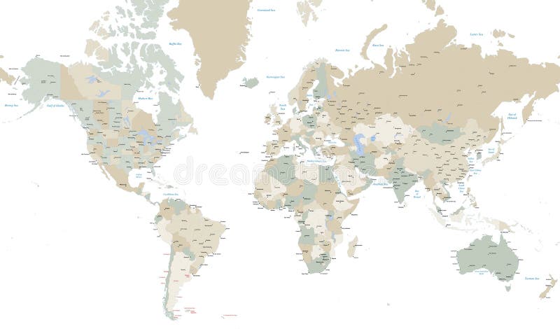
Free with trial Vector illustration of a High Detail Political Map of the world with different colors for each country. Each country has its capital and major cities. All seas and major lakes are named. Global colors used. All elements are separated in editable layers. Continent vectors World map with countries, country and city names. Vector illustration of a High Detail Political Map of the world with different colors for each country. Each. Vector illustration of a High Detail Political Map of the world with different colors for each country. Each country has its capital and major cities. All seas and major lakes are named. Global colors used. All elements are separated in editable layers.
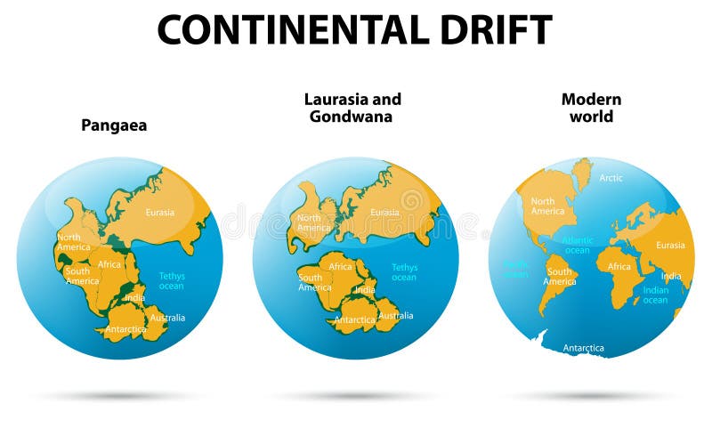
Free with trial Continental drift. On the planet Earth. Pangaea, Laurasia, Gondwana, modern continents. Continent vectors Continental drift. On the planet Earth. Pangaea, Laurasia, Gondwana, modern continents
Free with trial Globe. Computer generated Outline world globe logo. Continent vectors Globe. Computer generated Outline world globe logo
Free with trial Globe. Computer generated digital world globe. Continent vectors Globe. Computer generated digital world globe
Free with trial Detailed world map. Of continents with countries on white background. Continent vectors Detailed world map. Of continents with countries on white background
Free with trial Globe. Computer generated digital colourful world globe. Continent vectors Globe. Computer generated digital colourful world globe
Free with trial Globe. Computer generated Outline world globe. Continent vectors Globe. Computer generated Outline world globe
Free with trial Globe. Red vector glossy globe - computer generated. Continent vectors Globe. Red vector glossy globe - computer generated
Free with trial Globe. Green vector glossy globe - computer generated. Continent vectors Globe. Green vector glossy globe - computer generated
Free with trial Europe map highly detailed blue vector. Highly detailed blue Europe map with separated countries. Blue gradient with isolated background. Continent vectors Europe map highly detailed blue vector. Highly detailed blue Europe map with separated countries. Blue gradient with isolated background
Free with trial Earth icon, globe symbol. Earth icon. isolated on transparent background planet symbol, globe symbol icon. Continent vectors Earth icon, globe symbol. Earth icon. isolated on transparent background planet symbol, globe symbol icon
Free with trial Asia map. Colorful Asia map with countries and capital cities. Continent vectors Asia map. Colorful Asia map with countries and capital cities
Free with trial World Map. With all the continents Asia, Africa, America, Australia, Europe. Continent vectors World Map. With all the continents Asia, Africa, America, Australia, Europe
Free with trial Stylish polka dotted black and white map of the world. Continent vectors World map. Stylish polka dotted black and white map of the world. Stylish polka dotted black and white map of the world.
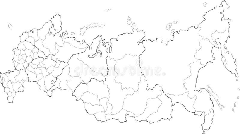
Free with trial Russia map. Vector map of Russia on white background. The Russia map has borders of areas and regions. Continent vectors Russia map. Vector map of Russia on white background. The Russia map has borders of areas and regions
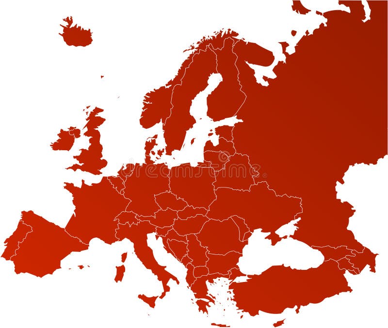
Free with trial Political map of Europe in vector with present states borders. Continent vectors Political map of Europe. In vector with present states borders
Free with trial Canada map designed in illustration with the states colored in bright colors and with the main cities. Neighbouring countries are in an additional format (. AI) in the latent layer. Continent vectors Canada map. Designed in illustration with the states colored in bright colors and with the main cities. Neighbouring countries are in an additional format (. AI
Free with trial Europe map, Vector map - size and color can be changed. Continent vectors Europe vector map. Europe map, Vector map - size and color can be changed. Europe map, Vector map - size and color can be changed.
Free with trial Jamaica map. Illustration of a detailed political map of Jamaica, with its main cities, mountains and rivers. Continent vectors Jamaica map. Illustration of a detailed political map of Jamaica, with its main cities, mountains and rivers
Free with trial World globe. Blue vector glossy globe - computer generated. Continent vectors World globe. Blue vector glossy globe - computer generated
Free with trial Illustration of 3D globe logo design isolated on white background. Continent vectors 3D globe logo. Illustration of 3D globe logo design isolated on white background. Illustration of 3D globe logo design isolated on white background.
Free with trial Digital world. Colorful abstract background. Continent vectors Digital world. Colorful abstract background
Free with trial Illustration of education logo design isolated on white background. Continent vectors Education logo. Illustration of education logo design isolated on white background. Illustration of education logo design isolated on white background.
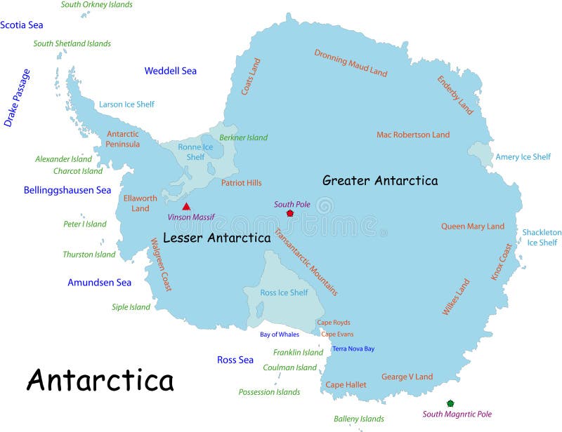
Free with trial Antarctica map designed in illustration with the names place. Continent vectors Antarctica map. Designed in illustration with the names place
Free with trial USA map vector. With names of states. Continent vectors USA map vector. With names of states
 Sign in