Free with trial Hungary map. Illustration of a detailed political map of Hungary, with the most important cities, rivers and mountains. Map vectors Hungary map. Illustration of a detailed political map of Hungary, with the most important cities, rivers and mountains
Free with trial Europe Continental country flags and map. On a blue background. Map vectors Europe Continental country flags and map. On a blue background
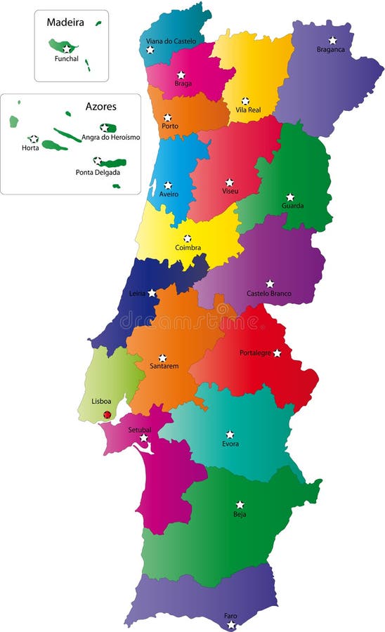
Free with trial Portugal map designed in illustration with the regions colored in bright colors and with the main cities. Neighbouring countries are in an additional format (. AI) in the latent layer. Map vectors Map of Portugal. Portugal map designed in illustration with the regions colored in bright colors and with the main cities. Neighbouring countries are in an. Portugal map designed in illustration with the regions colored in bright colors and with the main cities. Neighbouring countries are in an additional format (.AI) in the latent layer.
Free with trial Vancouver island Canada, British Columbia Province, North America map vector illustration, scribble sketch Vancouver map,. Map vectors Vancouver island Canada, British Columbia Province, North America map vector illustration, scribble sketch Vancouver map.
Free with trial Map of United States of America with state names. Simplified dark grey silhouette vector map on white background. Map vectors Map of United States of America with state names. Simplified dark grey silhouette vector map on white background.
Free with trial Concept of a mobile map or navigator. Pop-up dialog box with object description on the map. Thin line vector. Illustration. Map vectors Concept of a mobile map or navigator. Pop-up dialog box with object description on the map. Thin line vector. Illustration
Free with trial Missouri, state of USA - solid black silhouette map of country area. Simple flat vector illustration. Map vectors Missouri, state of USA - solid black silhouette map of country area. Simple flat vector illustration.
Free with trial Simplified map of Australia divided into states and territories. Four colors map with white borders and labels. Vector illustration. Map vectors Simplified map of Australia divided into states and territories. Four colors map with white borders and labels. Vector. Illustration
Free with trial Illinois, state of USA - solid black silhouette map of country area. Simple flat vector illustration. Map vectors Illinois, state of USA - solid black silhouette map of country area. Simple flat vector illustration.
Free with trial Map of United States of America, USA, in four shades of green with white state labels. Simple flat vector illustration isolated on white background. Map vectors Map of United States of America, USA, in four shades of green with white state labels. Simple flat vector illustration. Isolated on white background
Free with trial Globe of Earth with borders of all countries. 3d icon Globe in gray on transparent background. High quality world map in gray. North America and Central America. Vector illustration. EPS10. Map vectors Globe of Earth with borders of all countries. 3d icon Globe in gray on transparent background. High quality world map in gray. No. Rth America and Central. Globe of Earth with borders of all countries. 3d icon Globe in gray on transparent background. High quality world map in gray. North America and Central America. Vector illustration. EPS10
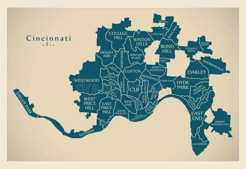
Free with trial Modern City Map - Cincinnati Ohio city of the USA with neighborhoods and titles. Illustration. Map vectors Modern City Map - Cincinnati Ohio city of the USA with neighborhoods and titles. Illustration
Free with trial Black silhouette country borders map of Australia on white background of vector illustration. Map vectors Black silhouette country borders map of Australia on white background of vector illustration
Free with trial Australia and Pacific Ocean centered world map. High detail black silhouette on white background. Vector illustration. Map vectors Australia and Pacific Ocean centered world map. High detail black silhouette on white background. Vector illustration.
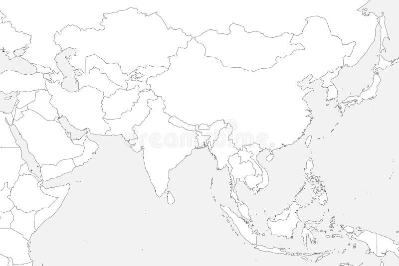
Free with trial Blank political map of western, southern and eastern Asia. Thin black outline borders on light grey background. Vector illustration. Map vectors Blank political map of western, southern and eastern Asia. Thin black outline borders on light grey background. Vector. Illustration
Free with trial Outline road map vector icon. isolated black simple line element illustration from travel concept. editable vector stroke road map. Icon on white background. Map vectors Outline road map vector icon. isolated black simple line element illustration from travel concept. editable vector stroke road map. Icon on white background
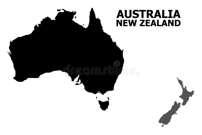
Free with trial Vector Map of Australia and New Zealand with title. Map of Australia and New Zealand is isolated on a white background. Simple flat geographic map. Map vectors Vector Flat Map of Australia and New Zealand with Caption. Vector Map of Australia and New Zealand with title. Map of Australia and New Zealand is isolated on a. Vector Map of Australia and New Zealand with title. Map of Australia and New Zealand is isolated on a white background. Simple flat geographic map.
Free with trial Nantucket Town and County, Commonwealth of Massachusetts U. S. county, United States of America, USA, U. , US map vector illustration, scribble sketch Nantucket, Tuckernuck and Muskeget island map,. Map vectors Nantucket Town and County, Commonwealth of Massachusetts U.S. county, United States of America, USA, U.S., US map vector. Illustration, scribble sketch. Nantucket Town and County, Commonwealth of Massachusetts U.S. county, United States of America, USA, U.S., US map vector illustration, scribble sketch Nantucket, Tuckernuck and Muskeget island map,
Free with trial Earth Globe with Stand isolated on white background. World Map. Earth Icon. Vector illustration for Your Design. Earth Globe with Stand isolated on white. Map vectors Earth Globe with Stand isolated on white background. World Map. Earth Icon. Vector illustration for Your Design. Earth Globe with Stand isolated on white
Free with trial United States of America USA - North America Countries Map Icon Vector Logo Template Illustration Design. Editable Vector EPS 10. Map vectors United States of America USA - North America Countries Map Icon Vector Logo Template Illustration Design. Vector EPS 10. United States of America USA - North. United States of America USA - North America Countries Map Icon Vector Logo Template Illustration Design. Editable Vector EPS 10.
Free with trial Map location isolated icon. simple element illustration from real estate concept icons. map location editable logo sign symbol design on white background. can be use for web and mobile. Map vectors Map location isolated icon. simple element illustration from real estate concept icons. map location editable logo sign symbol. Design on white background. can. map location isolated icon. simple element illustration from real estate concept icons. map location editable logo sign symbol design on white background. can be use for web and mobile
Free with trial Earth planet icon in flat style. 3D world map vector illustration on isolated background. Global communication business concept. Map vectors Earth planet icon in flat style. 3D world map vector illustration on isolated background. Global communication business concept.
Free with trial Czech Republic map designed in illustration with the regions colored in grey colors and with the main cities. Neighbouring countries are in an additional format (. AI) in the latent layer. Map vectors Map of Czech Republic. Czech Republic map designed in illustration with the regions colored in grey colors and with the main cities. Neighbouring countries are. Czech Republic map designed in illustration with the regions colored in grey colors and with the main cities. Neighbouring countries are in an additional format (.AI) in the latent layer.
Free with trial Africa Continental country flags and map. On a blue background. Map vectors Africa Continental country flags and map. On a blue background
Free with trial China map. Vector image of china map. Map vectors China map. Vector image of china map
Free with trial Map of Iran. Iran map designed in illustration with regions colored in bright colors. Vector illustration. Map vectors Map of Iran. Iran map designed in illustration with regions colored in bright colors. Vector illustration
Free with trial Ireland map. Designed in illustration with regions colored in bright colors. Vector illustration. Map vectors Ireland map. Designed in illustration with regions colored in bright colors. Vector illustration
Free with trial Map of Iraq. Iraq map designed in illustration with regions colored in bright colors. Vector illustration. Map vectors Map of Iraq. Iraq map designed in illustration with regions colored in bright colors. Vector illustration
Free with trial France map designed in illustration with the regions colored in grey colors and with the main cities. Neighbouring countries are in an additional format (. AI) in the latent layer. Map vectors Map of France. France map designed in illustration with the regions colored in grey colors and with the main cities. Neighbouring countries are in an additional. France map designed in illustration with the regions colored in grey colors and with the main cities. Neighbouring countries are in an additional format (.AI) in the latent layer.
Free with trial Map of Russia. Vector map of Russia on white flag. The Russia map has borders of areas and regions. Map vectors Map of Russia. Vector map of Russia on white flag. The Russia map has borders of areas and regions
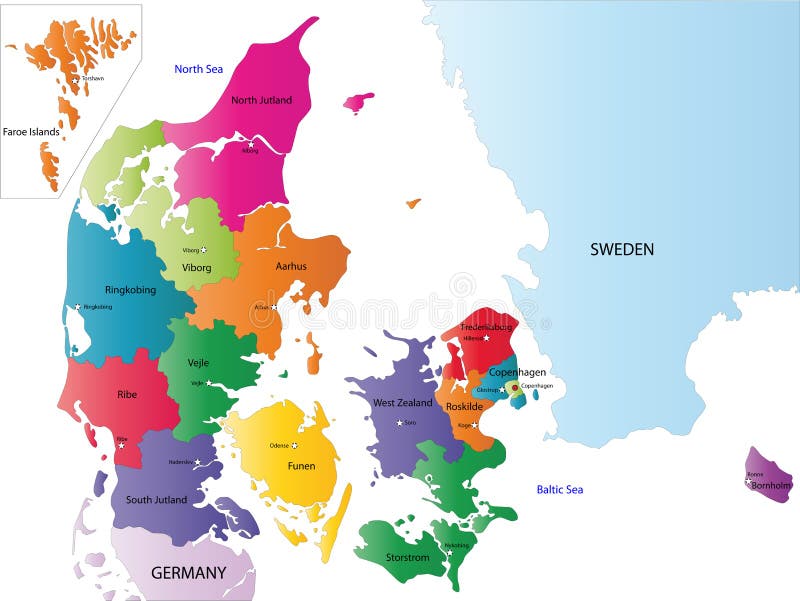
Free with trial Denmark map designed in illustration with the regions colored in bright colors and with the main cities. On an illustration neighbouring countries are shown too. Map vectors Map of Denmark. Denmark map designed in illustration with the regions colored in bright colors and with the main cities. On an illustration neighbouring. Denmark map designed in illustration with the regions colored in bright colors and with the main cities. On an illustration neighbouring countries are shown too
Free with trial Illustration of flag world map design isolated on white background. Map vectors Flag world map. Illustration of flag world map design isolated on white background. Illustration of flag world map design isolated on white background.
Free with trial Map of Colombia. Colombia map designed in illustration with regions colored in bright colors. Vector illustration. Map vectors Map of Colombia. Colombia map designed in illustration with regions colored in bright colors. Vector illustration
Free with trial Vector Iran map. Iran map designed in illustration with regions colored in bright colors. Vector illustration. Map vectors Vector Iran map. Iran map designed in illustration with regions colored in bright colors. Vector illustration
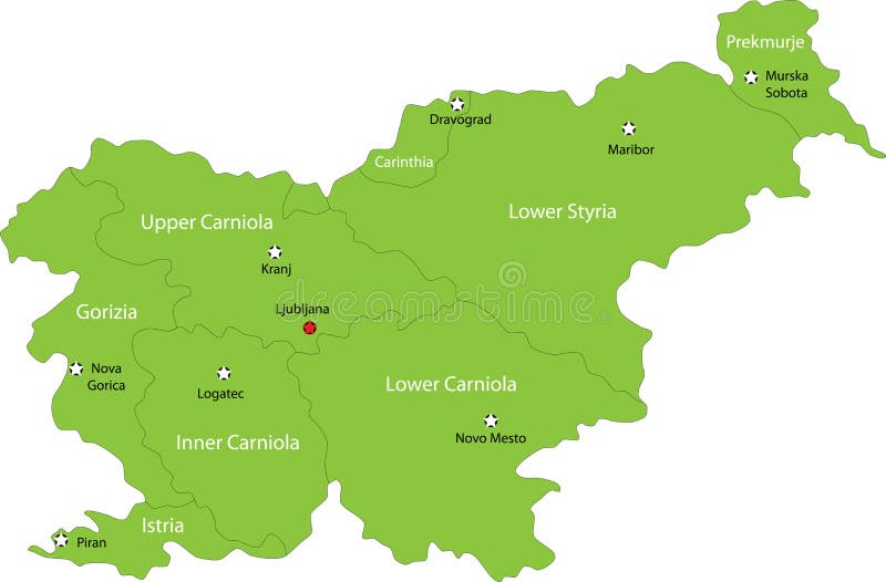
Free with trial Slovenia map designed in illustration with the regions colored in green colors and with the main cities. Neighbouring countries are in an additional format (. AI) in the latent layer. Map vectors Map of Slovenia. Slovenia map designed in illustration with the regions colored in green colors and with the main cities. Neighbouring countries are in an. Slovenia map designed in illustration with the regions colored in green colors and with the main cities. Neighbouring countries are in an additional format (.AI) in the latent layer.
Free with trial Vector Ireland map. Map of Ireland with regions borders. Vector illustraton. Map vectors Vector Ireland map. Map of Ireland with regions borders. Vector illustraton
Free with trial United Kingdom map. Vector illustration of a map and flag from England, Scotland, Northern Ireland, and Ireland. Map vectors United Kingdom map. Vector illustration of a map and flag from England, Scotland, Northern Ireland, and Ireland
Free with trial Portugal map designed in illustration with the regions colored in bright colors and with the main cities. Neighbouring countries are in an additional format (. AI) in the latent layer. Map vectors Vector map Portugal. Portugal map designed in illustration with the regions colored in bright colors and with the main cities. Neighbouring countries are in an. Portugal map designed in illustration with the regions colored in bright colors and with the main cities. Neighbouring countries are in an additional format (.AI) in the latent layer.
Free with trial Map of European union. Vector illustration. Map vectors Map of European union. Vector illustration
Free with trial Louisiana map outline vector illustartion. Isolated on white background. Map vectors Louisiana map outline vector illustartion. Isolated on white background
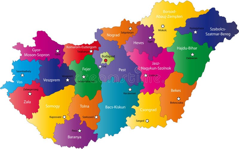
Free with trial Hungary map designed in illustration with the regions colored in bright colors and with the main cities. On an illustration neighbouring countries are shown too. Map vectors Hungary map. Designed in illustration with the regions colored in bright colors and with the main cities. On an illustration neighbouring countries are shown
Free with trial Suriname map. Illustration of a detailed political map of Suriname. The black triangle indicates the highest point of this country. Map vectors Suriname map. Illustration of a detailed political map of Suriname. The black triangle indicates the highest point of this country
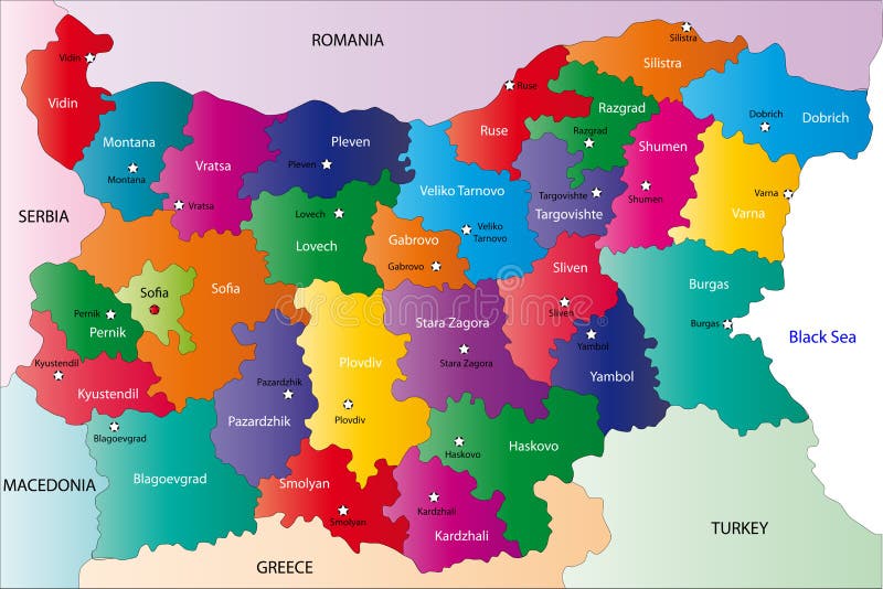
Free with trial Bulgaria map designed in illustration with the provinces colored in bright colors and with the main cities. On an illustration neighbouring countries are shown too. Map vectors Bulgaria map. Designed in illustration with the provinces colored in bright colors and with the main cities. On an illustration neighbouring countries are shown
Free with trial Hungary map designed in illustration with the regions colored in bright colors and with the main cities. Neighbouring countries are in an additional format (. AI) in the latent layer. Map vectors Map of Hungary. Hungary map designed in illustration with the regions colored in bright colors and with the main cities. Neighbouring countries are in an. Hungary map designed in illustration with the regions colored in bright colors and with the main cities. Neighbouring countries are in an additional format (. AI) in the latent layer.
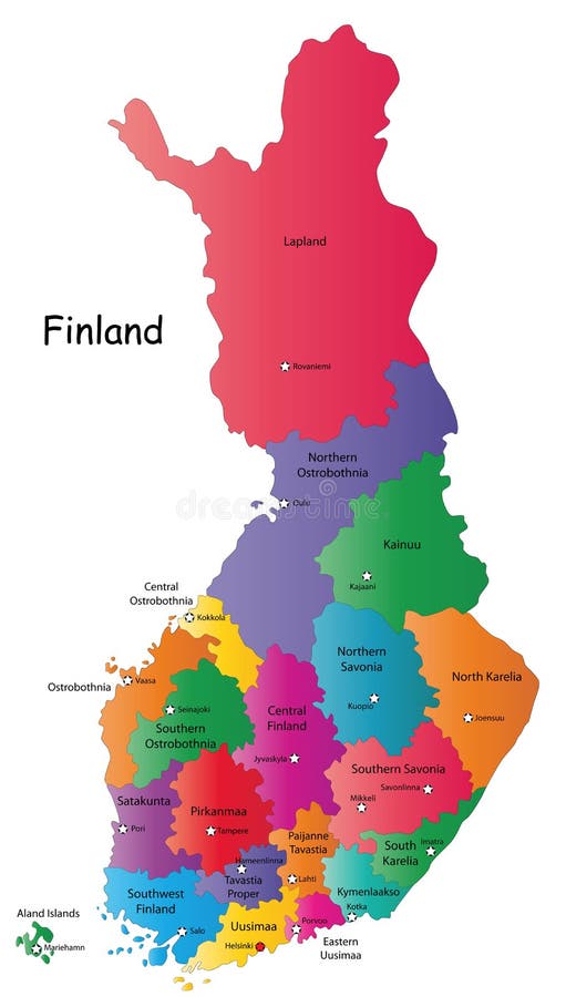
Free with trial Finland map designed in illustration with the 20 regions colored in bright colors and with the main cities. Neighbouring countries are in an additional format (. AI) in the latent layer. Map vectors Map of Finland. Finland map designed in illustration with the 20 regions colored in bright colors and with the main cities. Neighbouring countries are in an. Finland map designed in illustration with the 20 regions colored in bright colors and with the main cities. Neighbouring countries are in an additional format (.AI) in the latent layer.
Free with trial Illustration of a background with the flag of France and the golden map of the nation. Map vectors France flag background and map. Illustration of a background with the flag of France and the golden map of the nation. Illustration of a background with the flag of France and the golden map of the nation.
Free with trial Blind map of Slovakia with 20 regions borders. Names of the regions, main cities, and neighbouring countries are in an additional format (. AI) in the latent layer. Map vectors Black Italy map. Blind map of Slovakia with 20 regions borders. Names of the regions, main cities, and neighbouring countries are in an additional format (.AI). Blind map of Slovakia with 20 regions borders. Names of the regions, main cities, and neighbouring countries are in an additional format (.AI) in the latent layer.
Free with trial Map of India flag. The Indian Map with Indian Flag Colors - A Tricolor concept. Map vectors Map of India flag. The Indian Map with Indian Flag Colors - A Tricolor concept
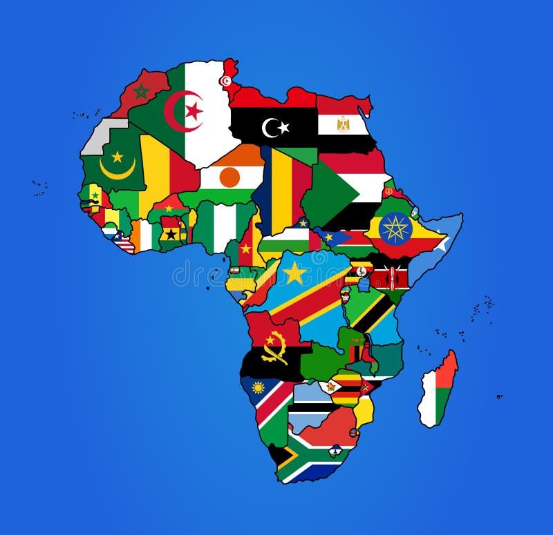
Free with trial Map of Africa with all countries colored in with their flags. Map vectors Africa Flag Map. Map of Africa with all countries colored in with their flags. Map of Africa with all countries colored in with their flags.
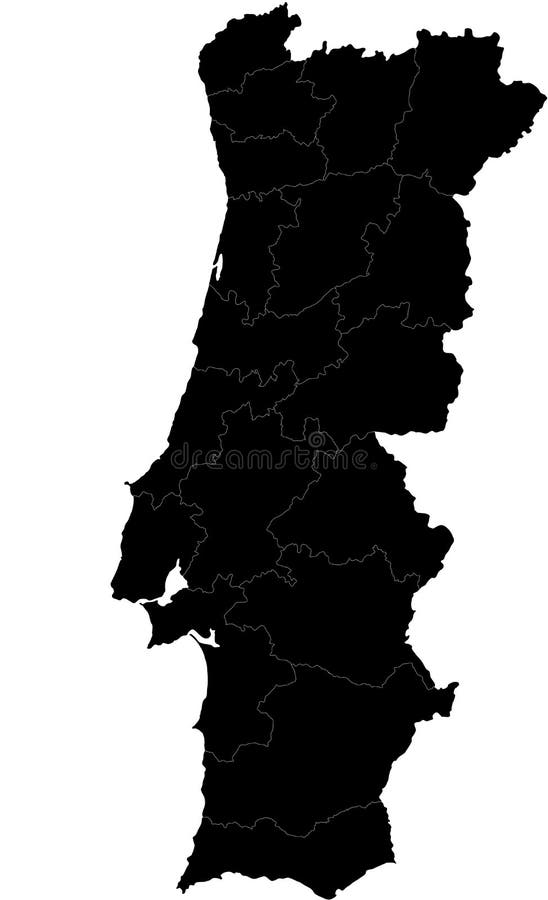
Free with trial Blind map of Portugal with regions borders. Names of the regions, main cities, and neighbouring countries are in an additional format (. AI) in the latent layer. Map vectors Vector map of Portugal. Blind map of Portugal with regions borders. Names of the regions, main cities, and neighbouring countries are in an additional format (. Blind map of Portugal with regions borders. Names of the regions, main cities, and neighbouring countries are in an additional format (. AI) in the latent layer.
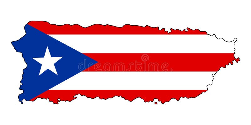
Free with trial Puerto Rico. Map of Puerto Rico vector illustration. Isolated on white background. Map vectors Puerto Rico .Map of Puerto Rico vector illustration. Isolated on white background
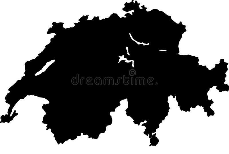
Free with trial Blind map of Switzerland with regions borders. Names of the regions, main cities, and neighbouring countries are in an additional format (. AI) in the latent layer. Map vectors Vector map of Switzerland. Blind map of Switzerland with regions borders. Names of the regions, main cities, and neighbouring countries are in an additional. Blind map of Switzerland with regions borders. Names of the regions, main cities, and neighbouring countries are in an additional format (.AI) in the latent layer.
Free with trial Europe Political Map. Europe Map with country lines concept. Map vectors Europe Political Map. Europe Map with country lines concept
Free with trial Egypt map. Designed in illustration with regions colored in green colors. Vector illustration. Map vectors Egypt map. Designed in illustration with regions colored in green colors. Vector illustration
Free with trial America Continental country flags and map. On a blue background. Map vectors America Continental country flags and map. On a blue background
Free with trial Latvia map. Illustration of a detailed political map of Latvia, with the most important cities, rivers and peaks. Map vectors Latvia map. Illustration of a detailed political map of Latvia, with the most important cities, rivers and peaks
Free with trial Wisconsin map silhouette vector illustration. Isolated on white background. Map vectors Wisconsin map silhouette vector illustration. Isolated on white background
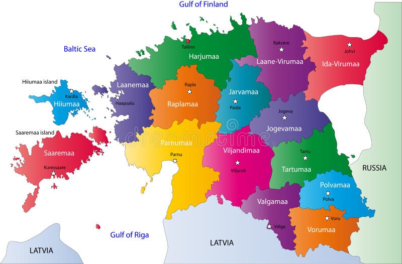
Free with trial Estonia map designed in illustration with the regions colored in bright colors and with the main cities. On an illustration neighbouring countries are shown too. Map vectors Estonia map. Designed in illustration with the regions colored in bright colors and with the main cities. On an illustration neighbouring countries are shown
Free with trial Argentina text with map. On Argentinian flag illustration. Map vectors Argentina text with map. On Argentinian flag illustration
Free with trial Illustration of a detailed political map of Slovakia. The black triangle indicates the highest point of Slovakia, while with the inverted triangle is represented the lowest point of the country. Map vectors Slovakia map. Illustration of a detailed political map of Slovakia. The black triangle indicates the highest point of Slovakia, while with the inverted triangle. Illustration of a detailed political map of Slovakia. The black triangle indicates the highest point of Slovakia, while with the inverted triangle is represented the lowest point of the country.
Free with trial Colombia map. Designed in illustration with regions colored in bright colors. Vector illustration. Map vectors Colombia map. Designed in illustration with regions colored in bright colors. Vector illustration
Free with trial Map of Florida with flag. Map of the State of Florida and American flag. Map vectors Map of Florida with flag. Map of the State of Florida and American flag
Free with trial Italy map. In green with Rome,Sardinia,Sicily. Map vectors Italy map. In green with Rome,Sardinia,Sicily
Free with trial Blind map of Sweden with regions borders. Names of the regions, main cities, and neighbouring countries are in an additional format (. AI) in the latent layer. Map vectors Map of Sweden. Blind map of Sweden with regions borders. Names of the regions, main cities, and neighbouring countries are in an additional format (.AI) in the. Blind map of Sweden with regions borders. Names of the regions, main cities, and neighbouring countries are in an additional format (.AI) in the latent layer.
Free with trial Vector India map. Blind map of India with regions borders and his names. Map vectors Vector India map. Blind map of India with regions borders and his names
Free with trial High detail map of the Middle East Zone, with a 3D Globe centered on Middle East. Map vectors Vector Middle East Green Map. High detail map of the Middle East Zone, with a 3D Globe centered on Middle East. High detail map of the Middle East Zone, with a 3D Globe centered on Middle East.
Free with trial Map Guatemala. Illustration Vector of a Map and Flag from Guatemala. Map vectors Map Guatemala. Illustration Vector of a Map and Flag from Guatemala
Free with trial Map of South Korea. And Korean flag illustration. Map vectors Map of South Korea. And Korean flag illustration
Free with trial Argentina map flag. Map of Argentina with their flag illustration. Map vectors Argentina map flag. Map of Argentina with their flag illustration
Free with trial Vector illustration of distressed florida map and state flag. the style is grunge and aged. Map vectors Grunge florida map with flag. Vector illustration of distressed florida map and state flag. the style is grunge and aged. Vector illustration of distressed florida map and state flag. the style is grunge and aged.
Free with trial Vector map of British Isles administrative divisions colored by countries and regions. Districts and counties maps and flags of United Kingdom,Northern Ireland, Wales, Scotland and Republic of Ireland. Map vectors Vector map of British Isles administrative divisions colored by countries and regions. Districts and counties maps and flags of United Kingdom,Northern Ireland
Free with trial China map. Vector image of china map. Map vectors China map. Vector image of china map
Free with trial Map of Europe, with EU countries highlighted in blue, and option for other countries to be highlighted in one click, fully and easy editable, vector. Map vectors Map of European Union. Map of Europe, with EU countries highlighted in blue, and option for other countries to be highlighted in one click, fully and easy. Map of Europe, with EU countries highlighted in blue, and option for other countries to be highlighted in one click, fully and easy editable, vector
Free with trial United states of America map with flag. Vector. Map vectors United states of America map with flag. Vector
Free with trial Stamp with map, flag of the USA. Made in the USA. Two forms: grunge and tidy. Map vectors Stamp with map, flag of the USA. Made in the USA. Two forms: grunge and tidy
Free with trial Blind map of Finland with regions borders. Map vectors Finland map. Blind map of Finland with regions borders. Blind map of Finland with regions borders.
Free with trial Florida map showing capital , whit gps pin icons. Map vectors Florida Map. Showing capital , whit gps pin icons
 Sign in