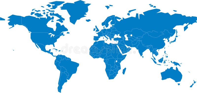
Free with trial World map. Of continents on white background. Map vectors World map. Of continents on white background
Free with trial United States map. Hawaii and Alaska. Map vectors United States map. Hawaii and Alaska
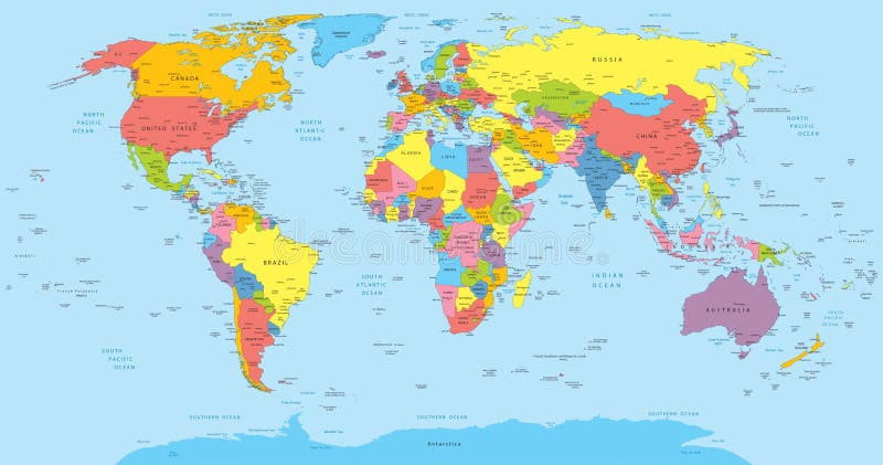
Free with trial World map with countries. High resolution and vector World map with countries America, Asia, Europe, Australia, Africa. Map vectors World map with countries. High resolution and vector World map with countries America, Asia, Europe, Australia, Africa
Free with trial Gray topographic line contour map background, geographic grid map, stock vector illustration. Map vectors Gray topographic line contour map background, geographic grid map. Stock vector illustration
Free with trial A map of the world. An unfolded map of the world. Map vectors A map of the world. An unfolded map of the world
Free with trial Continents World map - colorful. Colorful continents world map illustration. Africa , Australia ,America , Asia. Map vectors Continents World map - colorful. Colorful continents world map illustration. Africa , Australia ,America , Asia
Free with trial Topographic Map Seamless Pattern. Vector Background. Map vectors Topographic Map Seamless Pattern. Vector Background
Free with trial Terrain map. Contours trails, image grid geographic relief topographic contour line maps cartography texture, vector geo charts mapping mountain topo sea navigation illustration. Map vectors Terrain map. Contours trails, image grid geographic relief topographic contour line maps cartography texture, vector. Geo charts mapping mountain topo sea. Terrain map. Contours trails, image grid geographic relief topographic contour line maps cartography texture, vector geo charts mapping mountain topo sea navigation illustration
Free with trial Mexico map designed in illustration with states colored in bright colors and with the main cities. Neighbouring countries are in an additional format (. AI) in the latent layer. Map vectors Mexico map. Designed in illustration with states colored in bright colors and with the main cities. Neighbouring countries are in an additional format (.AI) in
Free with trial Geodesy contouring land. Topographical line map. Geographic mountain contours vector background. Topography and cartography mountain landscape contour illustration. Map vectors Geodesy contouring land. Topographical line map. Geographic mountain contours vector background. Topography and cartography mountain landscape contour
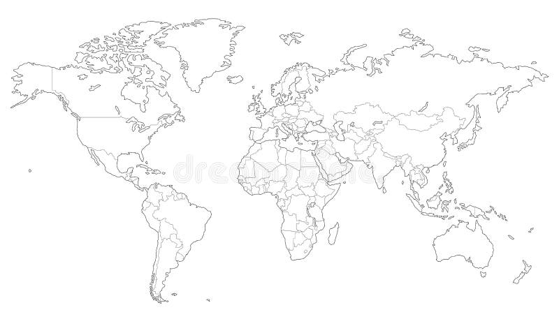
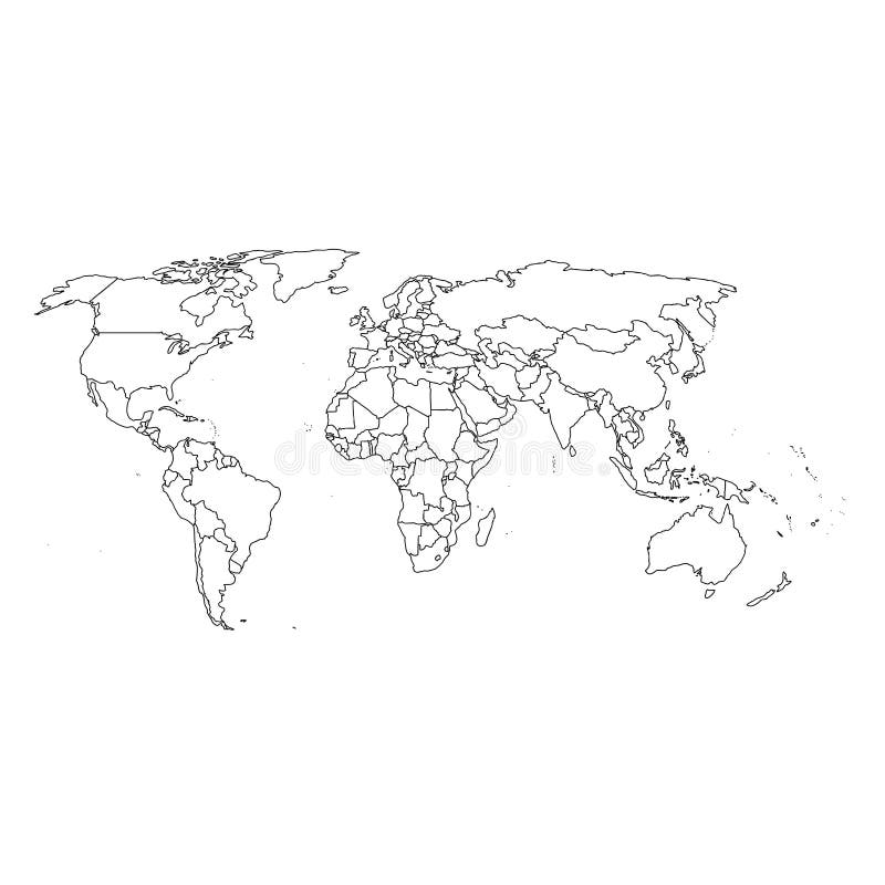
Free with trial Outlined vector map of the world. High quality Outlined vector map of the world with only straight lines. Map vectors Outlined vector map of the world. High quality Outlined vector map of the world with only straight lines
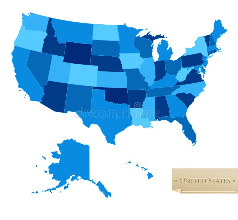
Free with trial Separable borders; United States. eps map in blue, with borders of states. Isolated against a white background. color is modifiable. Map vectors USA/United States Map (Separable Borders Vector). Separable borders; United States .eps map in blue, with borders of states. Isolated against a white background. Separable borders; United States .eps map in blue, with borders of states. Isolated against a white background. color is modifiable.
Free with trial Vector world map. Isolated over a white background. Map vectors Vector world map. Isolated over a white background
Free with trial Grey world map globe isolated on white background. Detailed grey world map, mapped on an open globe, isolated on white background. Map vectors Grey world map globe isolated on white background. Detailed grey world map, mapped on an open globe, isolated on white background
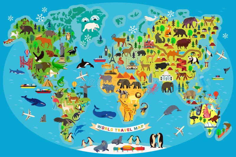
Free with trial Animal Map of the World for Children and Kids. Vector Illustration. Map vectors Animal Map of the World for Children and Kids. Vector. Animal Map of the World for Children and Kids. Vector Illustration. Animal Map of the World for Children and Kids. Vector Illustration.
Free with trial World map vector. World map. Map of the world. World map illustration. Black world map. Map vectors World map vector. World map. Map of the world. World map illustration. Black world map. World map
Free with trial World map on antique or weathered parchment paper. Map vectors Antique world map. World map on antique or weathered parchment paper. World map on antique or weathered parchment paper.
Free with trial US map - United States map with all 50 states - blue color - isolated on white - Vector. Map vectors US map - United States map with all 50 states. Blue color - isolated on white - Vector
Free with trial Blind map of Germany with regions borders. Names of the regions, main cities, and neighbouring countries are in an additional format (. AI) in the latent layer. Map vectors Blind map of Germany. With regions borders. Names of the regions, main cities, and neighbouring countries are in an additional format (.AI) in the latent layer
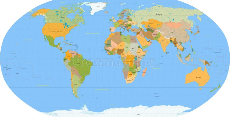
Free with trial World map with each country named and colored. Also available in vector. Lots of aspects can be selected/viewed or unselected (layers) in this vector, such as river names, state borders, names of most important cities etc. Map vectors World map - vector - detail. World map with each country named and colored. Also available in vector. Lots of aspects can be selected/viewed or unselected (. World map with each country named and colored. Also available in vector. Lots of aspects can be selected/viewed or unselected (layers) in this vector, such as river names, state borders, names of most important cities etc.
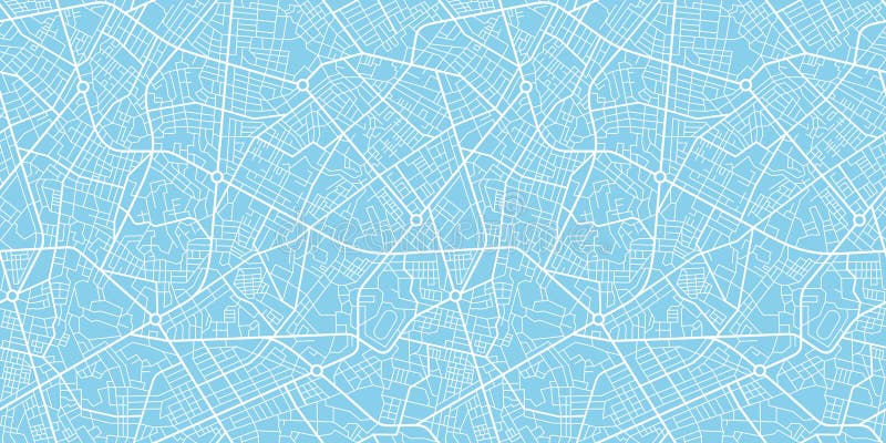
Free with trial Urban vector city map seamless texture. Urban vector blue city map seamless texture pattern. Map vectors Urban vector city map seamless texture. Urban vector blue city map seamless texture pattern
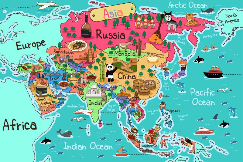
Free with trial Asia Map. A vector illustration of Asia map in cartoon style. Map vectors Asia Map. A vector illustration of Asia map in cartoon style
Free with trial Europe Map. A vector illustration of Europe map in cartoon style. Map vectors Europe Map. A vector illustration of Europe map in cartoon style
Free with trial Map of the world. A vector illustration of map of the world. Map vectors Map of the world. A vector illustration of map of the world
Free with trial A illustration of a silhouetted US map set against a white background. Map vectors Illustrated US Map. A illustration of a silhouetted US map set against a white background. A illustration of a silhouetted US map set against a white background.
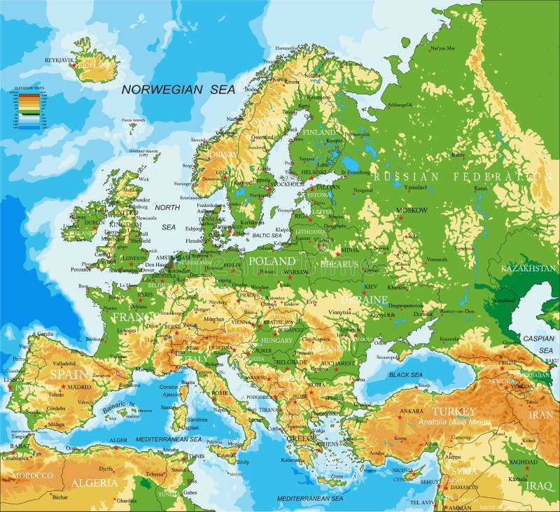
Free with trial Highly detailed physical map of Europe, in vector format, with all the relief forms, countries and big cities. Map vectors Europe - physical map. Highly detailed physical map of Europe, in vector format, with all the relief forms, countries and big cities. Highly detailed physical map of Europe, in vector format, with all the relief forms, countries and big cities.
Free with trial World map. Dotted black and white world map. Map vectors World map. Dotted black and white world map
Free with trial World map. Color coded map of the world. and illustration. Map vectors World map. Color coded map of the world. and illustration
Free with trial Europe map. Europe colour vector map with the signed countries. (. eps file - high resolution. Map vectors Europe map. Europe colour vector map with the signed countries. (.eps file - high resolution
Free with trial Detailed World map of blue colors. Names, town marks and national borders are in separate layers. Map vectors Blue detailed World map. Detailed World map of blue colors. Names, town marks and national borders are in separate layers. Detailed World map of blue colors. Names, town marks and national borders are in separate layers.
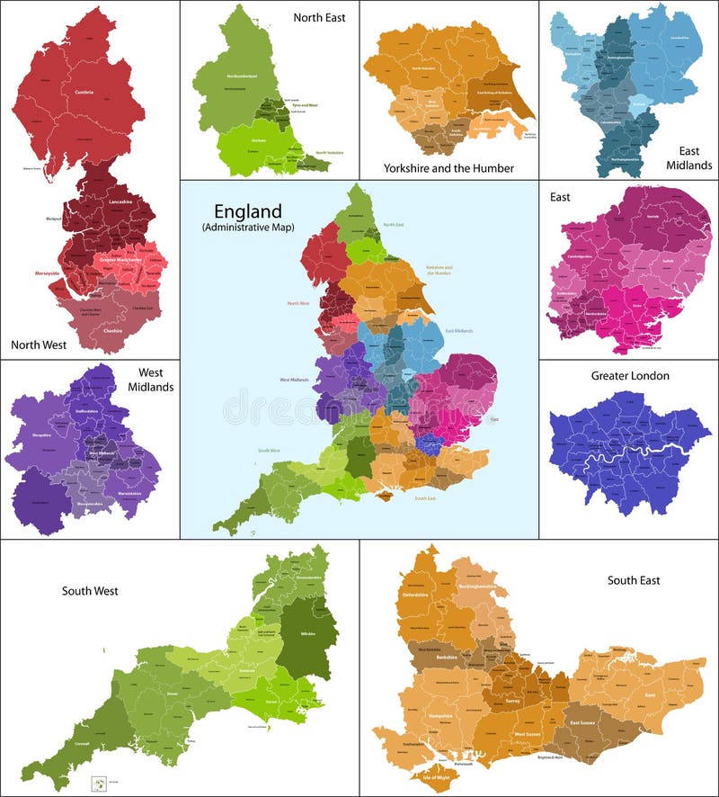
Free with trial The map shows the current subdivisions of England with a principal local authority: two-tier non-metropolitan counties and their non-metropolitan districts, metropolitan boroughs, unitary authorities, London boroughs and the sui generis City of London and Isles of Scilly. Map vectors England map. The map shows the current subdivisions of England with a principal local authority: two-tier non-metropolitan counties and their non-metropolitan. The map shows the current subdivisions of England with a principal local authority: two-tier non-metropolitan counties and their non-metropolitan districts, metropolitan boroughs, unitary authorities, London boroughs and the sui generis City of London and Isles of Scilly
Free with trial Germany map designed in illustration with the regions colored in bright colors and with the main cities. Map vectors Germany map. Designed in illustration with the regions colored in bright colors and with the main cities
Free with trial Airplane travel concept with map pins, GPS points. Line path icon. Flight start point concept or theme. Aircrafts and map pointer symbols vector illustration. Map vectors Airplane travel concept with map pins, GPS points. Line path icon. Flight start point concept or theme. Aircrafts and map pointer symbols vector illustration
Free with trial Tennessee map. Illustrated design of the map of Tennessee (USA), including counties and county seats. Isolated against a white background. Map vectors Tennessee map. Illustrated design of the map of Tennessee (USA), including counties and county seats. Isolated against a white background
Free with trial Colorful map of the state of Louisiana with counties and county seats. Map vectors Map of Louisiana. Colorful map of the state of Louisiana with counties and county seats. Colorful map of the state of Louisiana with counties and county seats.
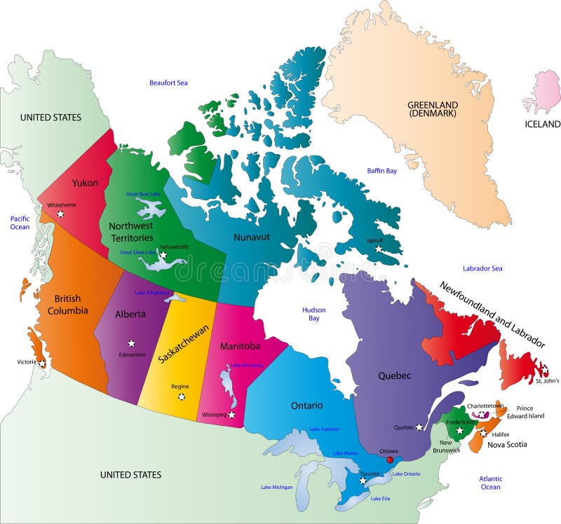
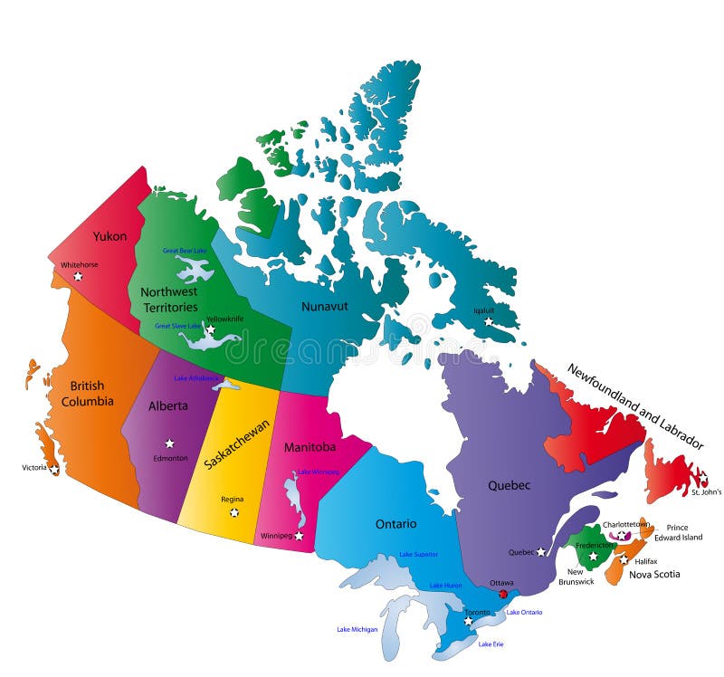
Free with trial Canada map designed in illustration with states colored in bright colors and with the main cities. On an illustration neighbouring countries are shown too. Map vectors Canada color map. Canada map designed in illustration with states colored in bright colors and with the main cities. On an illustration neighbouring countries. Canada map designed in illustration with states colored in bright colors and with the main cities. On an illustration neighbouring countries are shown too
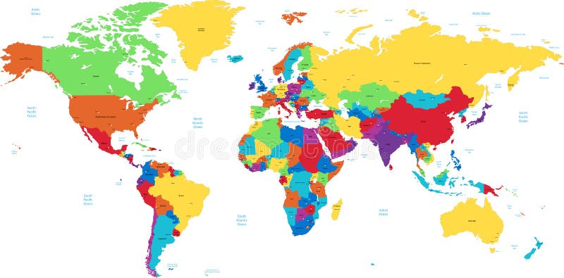
Free with trial Color Political World Map Illustration. Map vectors Colored World Map. Color Political World Map Illustration. Color Political World Map Illustration.
Free with trial Texas state map. United States vector. Map vectors Texas state map. United States vector
Free with trial Abstract topographic map. Vector. Abstract topographic map in brown colors. Map vectors Abstract topographic map. Vector. Abstract topographic map in brown colors. Vector
Free with trial Technology world map. A connected tech technology world earth map with the continents. Map vectors Technology world map. A connected tech technology world earth map with the continents
Free with trial Map of Florida state designed in illustration with the counties and the county seats. (Map is hight resolution). Map vectors Map of Florida state. Designed in illustration with the counties and the county seats. (Map is hight resolution
Free with trial Travel concept: map and compass logo, isolated on white background. Eps file available. Map vectors Map and Compass Logo. Travel concept: map and compass logo, isolated on white background. Eps file available. Travel concept: map and compass logo, isolated on white background. Eps file available.
Free with trial World city lights map. Night Earth view from space. Vector illustration. Vector. Map vectors World city lights map. Night Earth view from space. Vector illustration. World city lights map. Night Earth view from space. Vector
Free with trial Wales map. Administrative Wales map which is divided into 22 unitary authority areas. Map vectors Wales map. Administrative Wales map which is divided into 22 unitary authority areas
Free with trial UK map. A simple vector map of the UK. Map vectors UK map. A simple vector map of the UK
Free with trial Detailed Physical World Map with all names of countries, cities and capitals, river, lake, oceans, seas, islands, South Pole and North Pole. Map vectors World Map Detailed Physical Map. Detailed Physical World Map with all names of countries, cities and capitals, river, lake, oceans, seas, islands, South Pole and. Detailed Physical World Map with all names of countries, cities and capitals, river, lake, oceans, seas, islands, South Pole and North Pole
Free with trial Uk dot map. Illustration of a map of the uk made up of dots. Map vectors Uk dot map. Illustration of a map of the uk made up of dots
Free with trial Europe map. High detaled vector map of Europe. Map vectors Europe map. High detaled vector map of Europe
Free with trial Detailed world map and borders. Top quality vectorial world map with boundaries of all states. Map vectors Detailed world map and borders. Top quality vectorial world map with boundaries of all states
Free with trial Treasure map. Drawing of antique treasure map. Map vectors Treasure map. Drawing of antique treasure map
Free with trial Artistic watercolor world map background featuring vibrant colorful paint splatters, ink stains, and rich canvas textures. Creative global continents graphic ideal for travel agency marketing, international business presentations, modern wall art posters, educational materials, and web banners. Map vectors Abstract Watercolor World Map Background, Artistic Colorful Paint Splatter Graphic with Copy Space. Artistic watercolor world map background featuring vibrant. Artistic watercolor world map background featuring vibrant colorful paint splatters, ink stains, and rich canvas textures. Creative global continents graphic ideal for travel agency marketing, international business presentations, modern wall art posters, educational materials, and web banners.
Free with trial Vector illustration of a High Detail Political Map of the world with different colors for each country. Each country has its capital and major cities. All seas and major lakes are named. Global colors used. All elements are separated in editable layers. Map vectors World map with countries, country and city names. Vector illustration of a High Detail Political Map of the world with different colors for each country. Each. Vector illustration of a High Detail Political Map of the world with different colors for each country. Each country has its capital and major cities. All seas and major lakes are named. Global colors used. All elements are separated in editable layers.
Free with trial Realistic Topographic map of an area west of Austin, Texas. Vector map is layered with isolines, rivers, bodies of water and background on different layers. Map vectors Topographic Map. Realistic Topographic map of an area west of Austin, Texas. Vector map is layered with isolines, rivers, bodies of water and background on. Realistic Topographic map of an area west of Austin, Texas. Vector map is layered with isolines, rivers, bodies of water and background on different layers.
Free with trial Vector map of the countries of Europe. Hand drawn vector file, every country on separate layer with names. Map vectors Europe vector map. Vector map of the countries of Europe. Hand drawn vector file, every country on separate layer with names. Vector map of the countries of Europe. Hand drawn vector file, every country on separate layer with names.
Free with trial Antique map of the world illustration and vector. See additional formats for vector file. Map vectors Vector Illustration Antique world map. Antique map of the world illustration and vector. See additional formats for vector file. Antique map of the world illustration and vector. See additional formats for vector file.
Free with trial Detailed vector World map with colorful continents, political boundaries, country names and 3D globes. Map vectors Detailed vector World map with colorful continents. Political boundaries, country names and 3D globes
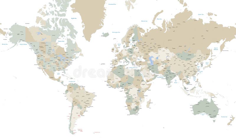
Free with trial Detailed world map. Of continents with countries on white background. Map vectors Detailed world map. Of continents with countries on white background
Free with trial Amusement park map. A vector illustration of a map of an amusement park. Map vectors Amusement park map. A vector illustration of a map of an amusement park
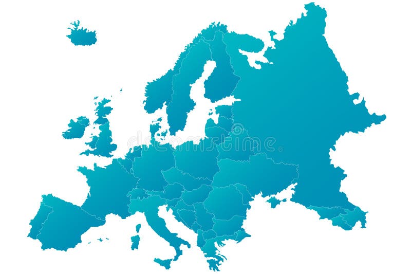
Free with trial Europe map highly detailed blue vector. Highly detailed blue Europe map with separated countries. Blue gradient with isolated background. Map vectors Europe map highly detailed blue vector. Highly detailed blue Europe map with separated countries. Blue gradient with isolated background
Free with trial Blue USA Map vector. Blue USA Map isolated. Map vectors Blue USA Map vector. Blue USA Map isolated
Free with trial Various Exotic Location from Pirate Treasure Map File is Eps. 10 (contain transparency). Map vectors Pirate Treasure Map. Various Exotic Location from Pirate Treasure Map File is Eps.10 (contain transparency. Various Exotic Location from Pirate Treasure Map File is Eps.10 (contain transparency)
Free with trial USA map in small colorful pixel dots of all fifty states of United States of America. All states are in separate layers and can be easily changed in Adobe Illustrator additional format. Map vectors USA map. In small colorful pixel dots of all fifty states of United States of America. All states are in separate layers and can be easily changed in Adobe. USA map in small colorful pixel dots of all fifty states of United States of America. All states are in separate layers and can be easily changed in Adobe Illustrator additional format
Free with trial Topographic contour lines vector map seamless pattern. Map of terrain geographic, illustration of topography linear map area. Map vectors Topographic contour lines vector map seamless pattern. Map of terrain geographic, illustration of topography linear map area
Free with trial Generic city map with streets, railway, important buildings, green belts, industrial zone and a river. Symbols of churches, synagogues, historic buildings, monuments, post offices, cinemas, theatres, harbours, lots, taxi-cabs, hospital and youth hostels. Map vectors City Map. Generic city map with streets, railway, important buildings, green belts, industrial zone and a river. Symbols of churches, synagogues, historic. Generic city map with streets, railway, important buildings, green belts, industrial zone and a river. Symbols of churches, synagogues, historic buildings, monuments, post offices, cinemas, theatres, harbours, lots, taxi-cabs, hospital and youth hostels.
Free with trial Political map of Asia. The continent with the fastest growing economy. Map vectors Political map of Asia. The continent with the fastest growing economy
Free with trial Asia map. Colorful Asia map with countries and capital cities. Map vectors Asia map. Colorful Asia map with countries and capital cities
Free with trial World Map. With all the continents Asia, Africa, America, Australia, Europe. Map vectors World Map. With all the continents Asia, Africa, America, Australia, Europe
Free with trial Texas map. Illustrated design of the map of Texas (USA), including counties and county seats. Isolated against a white background. Map vectors Texas map. Illustrated design of the map of Texas (USA), including counties and county seats. Isolated against a white background
Free with trial Stylish polka dotted black and white map of the world. Map vectors World map. Stylish polka dotted black and white map of the world. Stylish polka dotted black and white map of the world.
Free with trial Sicily map. Illustration of the map of Sicily with its main cities, rivers, mountains and archaeological sites. Map vectors Sicily map. Illustration of the map of Sicily with its main cities, rivers, mountains and archaeological sites
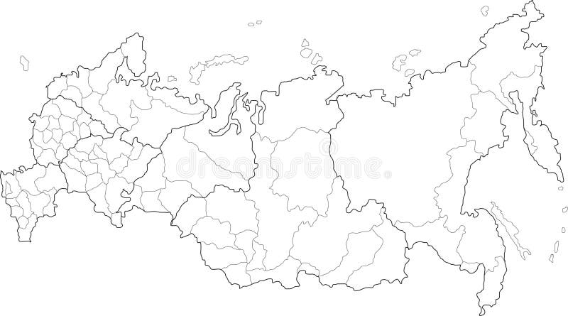
Free with trial Russia map. Vector map of Russia on white background. The Russia map has borders of areas and regions. Map vectors Russia map. Vector map of Russia on white background. The Russia map has borders of areas and regions
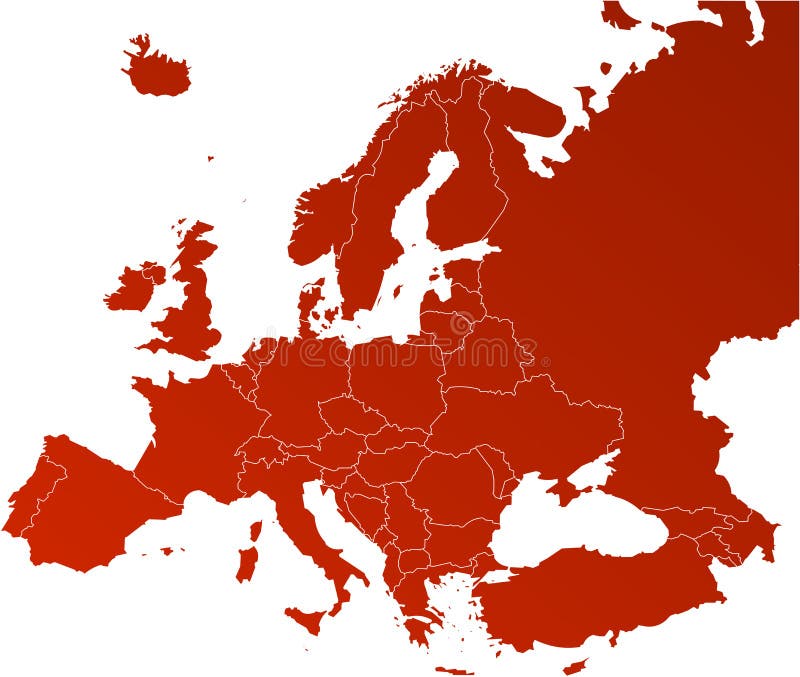
Free with trial Political map of Europe in vector with present states borders. Map vectors Political map of Europe. In vector with present states borders
Free with trial Canada map designed in illustration with the states colored in bright colors and with the main cities. Neighbouring countries are in an additional format (. AI) in the latent layer. Map vectors Canada map. Designed in illustration with the states colored in bright colors and with the main cities. Neighbouring countries are in an additional format (. AI
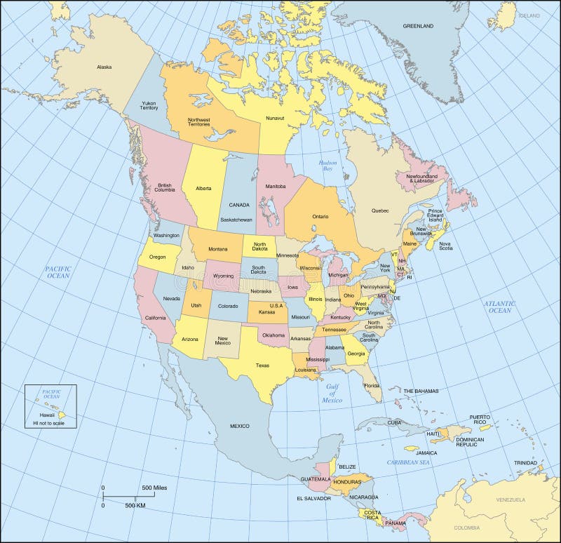
Free with trial North America map showing countries, states, provinces, lat/long grid and oceans. Countries, states, provinces and oceans are labeled. Conic Projection. Map vectors North America Map. Showing countries, states, provinces, lat/long grid and oceans. Countries, states, provinces and oceans are labeled. Conic Projection
Free with trial Europe map, Vector map - size and color can be changed. Map vectors Europe vector map. Europe map, Vector map - size and color can be changed. Europe map, Vector map - size and color can be changed.
Free with trial Map of the United States. A map of the United States wit. Map vectors Map of the United States. A map of the United States wit
Free with trial Elegant japan travel map, flat design landmark and traditional symbol with cherry blossom frame, Japan travel in Japanese on the top left. Map vectors Elegant japan travel map. Flat design landmark and traditional symbol with cherry blossom frame, Japan travel in Japanese on the top left
Free with trial Jamaica map. Illustration of a detailed political map of Jamaica, with its main cities, mountains and rivers. Map vectors Jamaica map. Illustration of a detailed political map of Jamaica, with its main cities, mountains and rivers
 Sign in