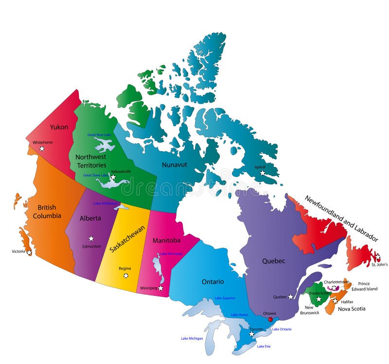
Free with trial Canada map designed in illustration with the states colored in bright colors and with the main cities. Neighbouring countries are in an additional format (. AI) in the latent layer. Province vectors Canada map. Designed in illustration with the states colored in bright colors and with the main cities. Neighbouring countries are in an additional format (. AI
Free with trial China map. People's Republic of China map designed in illustration with regions colored in bright colors. Vector illustration. Province vectors China map. People's Republic of China map designed in illustration with regions colored in bright colors. Vector illustration
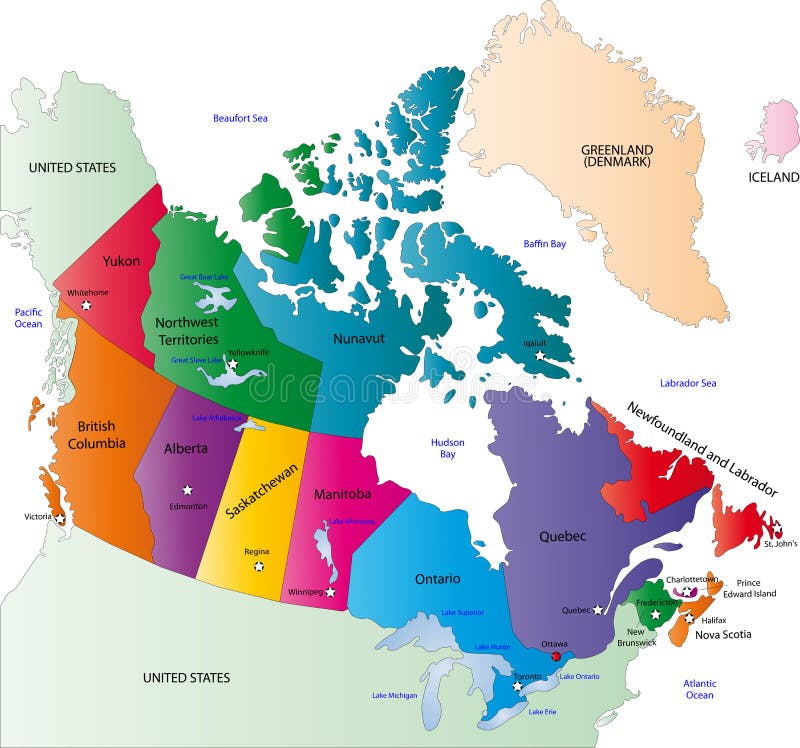
Free with trial Canada map designed in illustration with states colored in bright colors and with the main cities. On an illustration neighbouring countries are shown too. Province vectors Canada color map. Canada map designed in illustration with states colored in bright colors and with the main cities. On an illustration neighbouring countries. Canada map designed in illustration with states colored in bright colors and with the main cities. On an illustration neighbouring countries are shown too
Free with trial South Holland - province of the Netherlands. Administrative division of the Netherlands. Map of South Holland with municipalities. Province vectors South Holland - province of the Netherlands. Administrative division of the Netherlands. Map of South Holland with municipalities
Free with trial Province of Canada - Quebec. Administrative division of Canada. Map of Quebec with regions and main cities, vector illustration. Province vectors Province of Canada - Quebec. Administrative division of Canada. Map of Quebec with regions and main cities, vector illustration
Free with trial Map of Asia Pacific. Bangladesh, Bhutan, Brunei Darussalam, Cambodia, China, Mainland China, Taiwan Province of China, Hong Kong SAR. Province vectors Map of Asia Pacific. Bangladesh, Bhutan, Brunei Darussalam, Cambodia, China, Mainland China, Taiwan Province of China, Hong Kong SAR
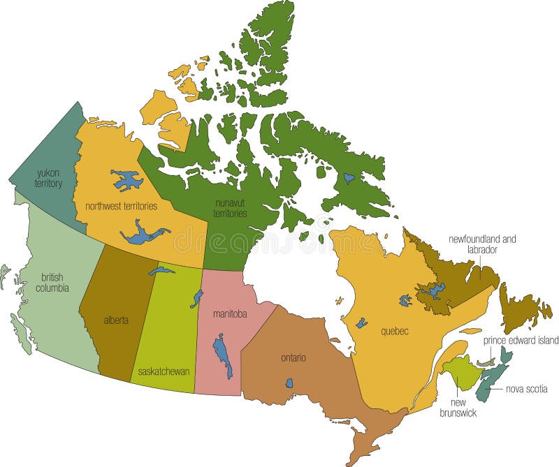
Free with trial Canada 01. A full color map of canada with province names called out. Province vectors Canada 01. A full color map of canada with province names called out
Free with trial Map of Canada. A detailed map of Canada. Each province/territory is separated into it's own object and is easily isolated. Province vectors Map of Canada. A detailed map of Canada. Each province/territory is separated into it's own object and is easily isolated
Free with trial Limburg - province of the Netherlands. Administrative division of the Netherlands. Map of Limburg with municipalities. Province vectors Limburg - province of the Netherlands. Administrative division of the Netherlands. Map of Limburg with municipalities
Free with trial North Brabant - province of the Netherlands. Administrative division of the Netherlands. Map of North Brabant with municipalities. Province vectors North Brabant - province of the Netherlands. Administrative division of the Netherlands. Map of North Brabant with municipalities
Free with trial Vector red map of Canada with state boundaries, isolated on white background. Province vectors Canada Map (separable by province). Vector red map of Canada with state boundaries, isolated on white background. Vector red map of Canada with state boundaries, isolated on white background.
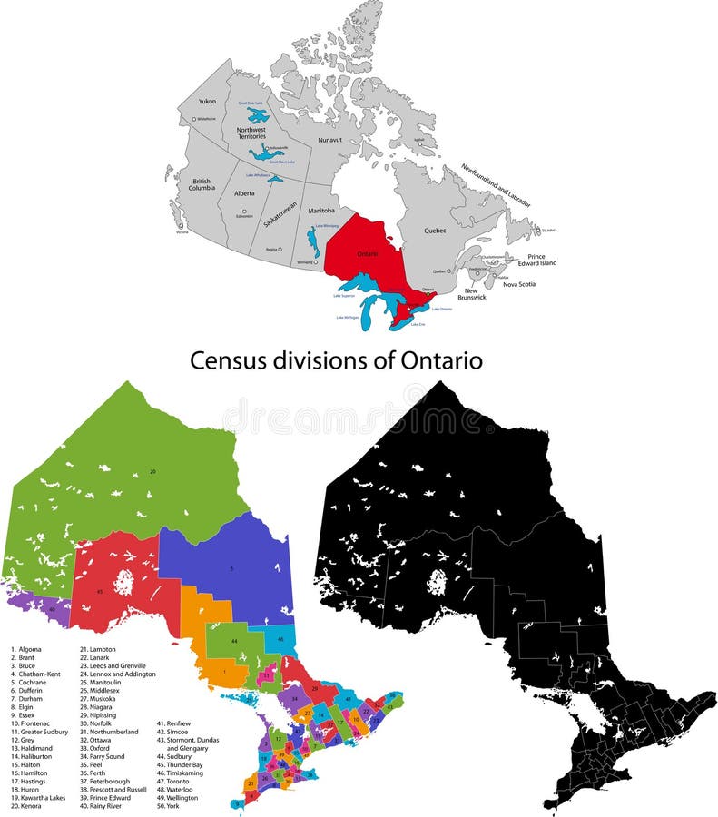
Free with trial Province of Canada - Ontario. Administrative division of Canada. Map of Ontario with census divisions, vector illustration. Province vectors Province of Canada - Ontario. Administrative division of Canada. Map of Ontario with census divisions, vector illustration
Free with trial Map of Germany. Vectorial map of Germany with provinces. No gradients and blends. Every province is separate curve. Names of provinces and cities are in separate. Province vectors Map of Germany. Vectorial map of Germany with provinces. No gradients and blends. Every province is separate curve. Names of provinces and cities are in separate
Free with trial Province of Canada - New Brunswick. Administrative division of Canada. Map of New Brunswick with counties and main cities, vector illustration. Province vectors Province of Canada - New Brunswick. Administrative division of Canada. Map of New Brunswick with counties and main cities, vector illustration
Free with trial Montreal grunge rubber stamp. Black grunge rubber stamp with the name of Montreal, a city located in Canada, in the province of Quebec. Province vectors Montreal grunge rubber stamp. Black grunge rubber stamp with the name of Montreal, a city located in Canada, in the province of Quebec
Free with trial Mexico map designed in illustration with states colored in bright colors and with the main cities. Neighbouring countries are in an additional format (. AI) in the latent layer. Province vectors Mexico map. Designed in illustration with states colored in bright colors and with the main cities. Neighbouring countries are in an additional format (.AI) in
Free with trial Map of California state designed in illustration with the counties and the county seats. (Map is hight resolution). Province vectors State of California. Map of California state designed in illustration with the counties and the county seats. (Map is hight resolution. Map of California state designed in illustration with the counties and the county seats. (Map is hight resolution)
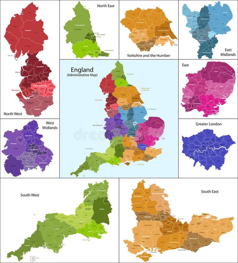
Free with trial The map shows the current subdivisions of England with a principal local authority: two-tier non-metropolitan counties and their non-metropolitan districts, metropolitan boroughs, unitary authorities, London boroughs and the sui generis City of London and Isles of Scilly. Province vectors England map. The map shows the current subdivisions of England with a principal local authority: two-tier non-metropolitan counties and their non-metropolitan. The map shows the current subdivisions of England with a principal local authority: two-tier non-metropolitan counties and their non-metropolitan districts, metropolitan boroughs, unitary authorities, London boroughs and the sui generis City of London and Isles of Scilly
Free with trial Scotland map. Scotland is divided into 32 areas designated as council areas which are all governed by unitary authorities designated as councils. Province vectors Scotland map. Scotland is divided into 32 areas designated as council areas which are all governed by unitary authorities designated as councils
Free with trial State of Arizona. Map of Arizona state designed in illustration with the counties and the county seats. (Map is hight resolution. Province vectors State of Arizona. Map of Arizona state designed in illustration with the counties and the county seats. (Map is hight resolution
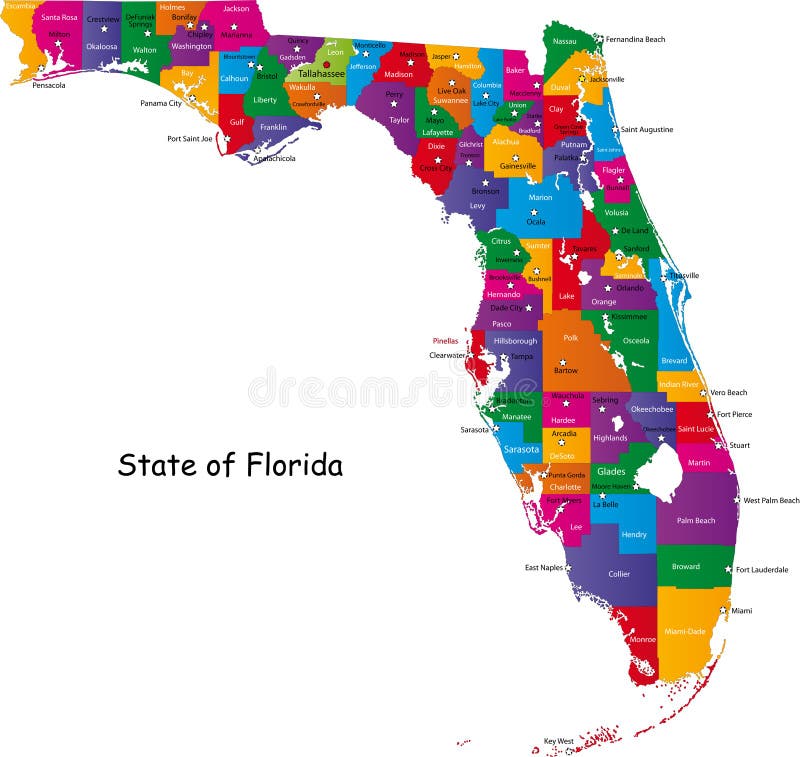
Free with trial Map of Florida state designed in illustration with the counties and the county seats. (Map is hight resolution). Province vectors Map of Florida state. Designed in illustration with the counties and the county seats. (Map is hight resolution
Free with trial Wales map. Administrative Wales map which is divided into 22 unitary authority areas. Province vectors Wales map. Administrative Wales map which is divided into 22 unitary authority areas
Free with trial Texas map. Illustrated design of the map of Texas (USA), including counties and county seats. Isolated against a white background. Province vectors Texas map. Illustrated design of the map of Texas (USA), including counties and county seats. Isolated against a white background
Free with trial Kentucky map. Illustrated design of the map of Kentucky (USA), including counties and county seats. Isolated against a white background. Province vectors Kentucky map. Illustrated design of the map of Kentucky (USA), including counties and county seats. Isolated against a white background
Free with trial Malaysia map designed in illustration with the provinces and the main cities. (Map is hight resolution). Province vectors Malaysia map. Designed in illustration with the provinces and the main cities. (Map is hight resolution
Free with trial Caribbean map. Colorful Caribbean map with countries and capital cities. Province vectors Caribbean map. Colorful Caribbean map with countries and capital cities
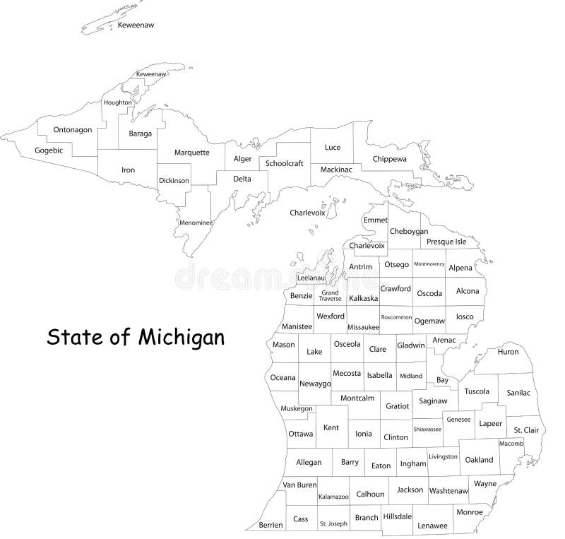
Free with trial Michigan state. Map of Michigan state designed in illustration with the counties and the county seats. (Map is hight resolution. Province vectors Michigan state. Map of Michigan state designed in illustration with the counties and the county seats. (Map is hight resolution
Free with trial State of Texas. Colorful illustrated design of the map of Texas (USA), including counties and county seats. Isolated against a white background. Province vectors State of Texas. Colorful illustrated design of the map of Texas (USA), including counties and county seats. Isolated against a white background
Free with trial Map of Mississippi state designed in illustration with the counties and the county seats. Province vectors Mississippi map. Map of Mississippi state designed in illustration with the counties and the county seats. Map of Mississippi state designed in illustration with the counties and the county seats.
Free with trial State of Oregon. Map of Oregon state designed in illustration with the counties and the county seats. (Map is hight resolution. Province vectors State of Oregon. Map of Oregon state designed in illustration with the counties and the county seats. (Map is hight resolution
Free with trial Map of Virginia. Illustrated design of the map of Virginia (USA), including counties and county seats. Isolated against a white background. Province vectors Map of Virginia. Illustrated design of the map of Virginia (USA), including counties and county seats. Isolated against a white background
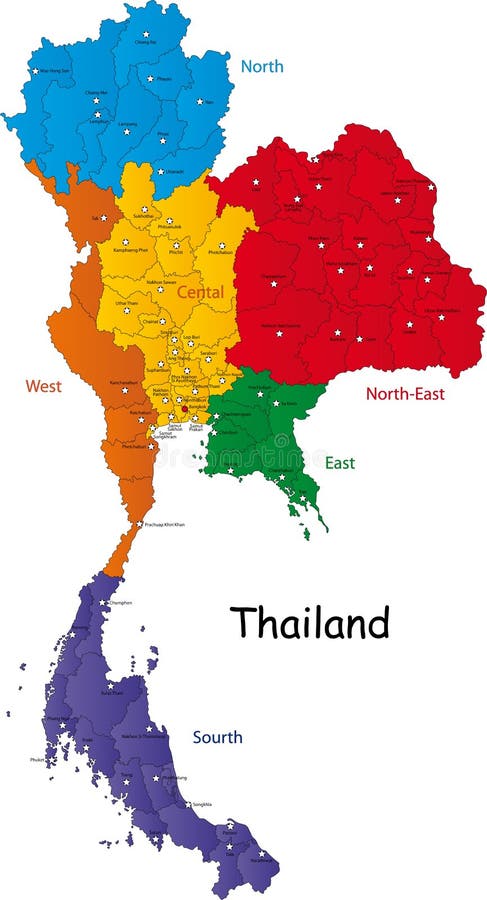
Free with trial Map of Thailand. Thailand map designed in illustration with the regions and provinces with the main cities. (Map is in high resolution. Province vectors Map of Thailand. Thailand map designed in illustration with the regions and provinces with the main cities. (Map is in high resolution
Free with trial Saudi Arabia map designed in illustration with the provinces and the main cities. Province vectors Saudi Arabia map. Designed in illustration with the provinces and the main cities
Free with trial State of Florida. Map of Florida state designed in illustration with the counties and the county seats. (Map is hight resolution. Province vectors State of Florida. Map of Florida state designed in illustration with the counties and the county seats. (Map is hight resolution
Free with trial South Africa map designed in illustration with the provinces and the main cities. Province vectors South Africa map. Designed in illustration with the provinces and the main cities
Free with trial Vector China map. Green China map with regions colored in green. Vector illustration. Province vectors Vector China map. Green China map with regions colored in green. Vector illustration
Free with trial State of Georgia. Map of Georgia state designed in illustration with the counties and the county seats. (Map is hight resolution. Province vectors State of Georgia. Map of Georgia state designed in illustration with the counties and the county seats. (Map is hight resolution
Free with trial State of Illinois. Illustrated design of the map of Illinois (USA), including counties and county seats. Isolated against a white background. Province vectors State of Illinois. Illustrated design of the map of Illinois (USA), including counties and county seats. Isolated against a white background
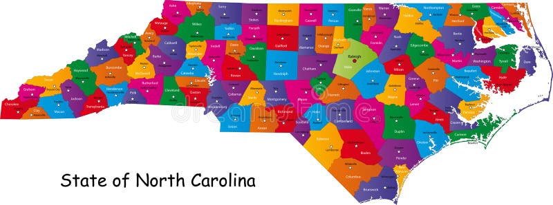
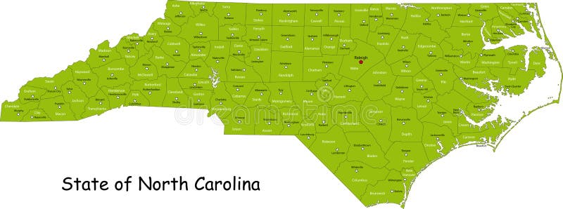
Free with trial North Carolina map. Colorful illustrated design of the map of North Carolina (USA), including counties and county seats. Isolated against a white background. Province vectors North Carolina map. Colorful illustrated design of the map of North Carolina (USA), including counties and county seats. Isolated against a white background
Free with trial Map of Wisconsin state designed in illustration with the counties and the county seats. (Map is hight resolution). Province vectors State of Wisconsin. Map of Wisconsin state designed in illustration with the counties and the county seats. (Map is hight resolution. Map of Wisconsin state designed in illustration with the counties and the county seats. (Map is hight resolution)
Free with trial South Africa map designed in illustration with the provinces and the main cities. Province vectors Map of South Africa. South Africa map designed in illustration with the provinces and the main cities. South Africa map designed in illustration with the provinces and the main cities.
Free with trial Map of South Carolina state designed in illustration with the counties and the county seats. (Map is hight resolution). Province vectors South Carolina state. Map of South Carolina state designed in illustration with the counties and the county seats. (Map is hight resolution. Map of South Carolina state designed in illustration with the counties and the county seats. (Map is hight resolution)
Free with trial Japan. Map designed in illustration with regions colored in bright colors. Vector illustration. Province vectors Japan. Map designed in illustration with regions colored in bright colors. Vector illustration
Free with trial Map of Michigan state designed in illustration with the counties and the county seats. (Map is hight resolution). Province vectors Map of Michigan state. Designed in illustration with the counties and the county seats. (Map is hight resolution
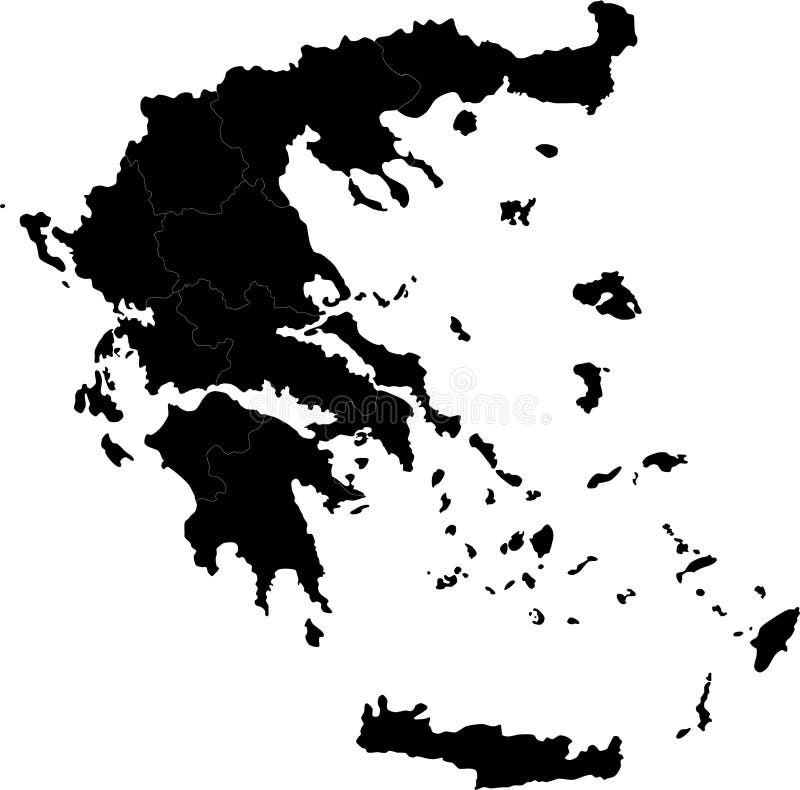
Free with trial Greece. Blind map of Greece with regions borders. Names of the regions, main cities, and neighbouring countries are in an additional format (. AI) in the latent. Province vectors Greece. Blind map of Greece with regions borders. Names of the regions, main cities, and neighbouring countries are in an additional format (.AI) in the latent
Free with trial Map of California state designed in illustration with the counties and the county seats. (Map is hight resolution). Province vectors Map of California state. Designed in illustration with the counties and the county seats. (Map is hight resolution
Free with trial Illustrated design of the map of North Carolina (USA), including counties and county seats. Isolated against a white background. Province vectors State of North Carolina. Illustrated design of the map of North Carolina (USA), including counties and county seats. Isolated against a white background. Illustrated design of the map of North Carolina (USA), including counties and county seats. Isolated against a white background.
Free with trial Administrative division of Canada with regions and main cities. Province vectors Canada map. Administrative division of Canada with regions and main cities. Administrative division of Canada with regions and main cities.
Free with trial Map of New Hampshire state designed in illustration with the counties and the county seats. (Map is hight resolution). Province vectors Map of New Hampshire state. Designed in illustration with the counties and the county seats. (Map is hight resolution
Free with trial Commonwealth of Pennsylvania designed in illustration with the counties and the county seats. (Map is hight resolution). Province vectors Commonwealth of Pennsylvania. Designed in illustration with the counties and the county seats. (Map is hight resolution
Free with trial Commonwealth of Pennsylvania designed in illustration with the counties and the county seats. (Map is hight resolution). Province vectors Commonwealth of Pennsylvania. Designed in illustration with the counties and the county seats. (Map is hight resolution
Free with trial Map of Washington state designed in illustration with the counties and the county seats. (Map is hight resolution). Province vectors State of Washington. Map of Washington state designed in illustration with the counties and the county seats. (Map is hight resolution. Map of Washington state designed in illustration with the counties and the county seats. (Map is hight resolution)
Free with trial Turkey. Map designed in illustration with regions colored in bright colors. Vector illustration. Province vectors Turkey. Map designed in illustration with regions colored in bright colors. Vector illustration
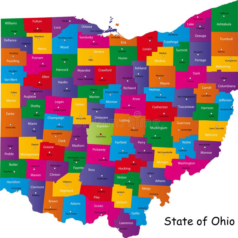
Free with trial Ohio map. Map of Ohio state designed in illustration with the counties and the county seats. Province vectors Ohio map. Map of Ohio state designed in illustration with the counties and the county seats
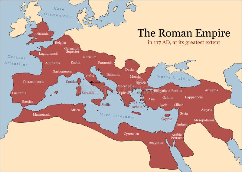
Free with trial The Roman Empire at its greatest extent in 117 AD at the time of Trajan, plus principal provinces. Vector illustration. Province vectors Roman Empire Provinces. The Roman Empire at its greatest extent in 117 AD at the time of Trajan, plus principal provinces. Vector illustration. The Roman Empire at its greatest extent in 117 AD at the time of Trajan, plus principal provinces. Vector illustration.
Free with trial Japan map. Designed in illustration with regions colored in green colors. Vector illustration. Province vectors Japan map. Designed in illustration with regions colored in green colors. Vector illustration
Free with trial Hawaii map. Map of Hawaii state designed in illustration with the counties and the county seats. Province vectors Hawaii map. Map of Hawaii state designed in illustration with the counties and the county seats
Free with trial Panama map designed in illustration with the regions colored in bright colors and with the main cities. (Map is hight resolution). Province vectors Panama map. Designed in illustration with the regions colored in bright colors and with the main cities. (Map is hight resolution
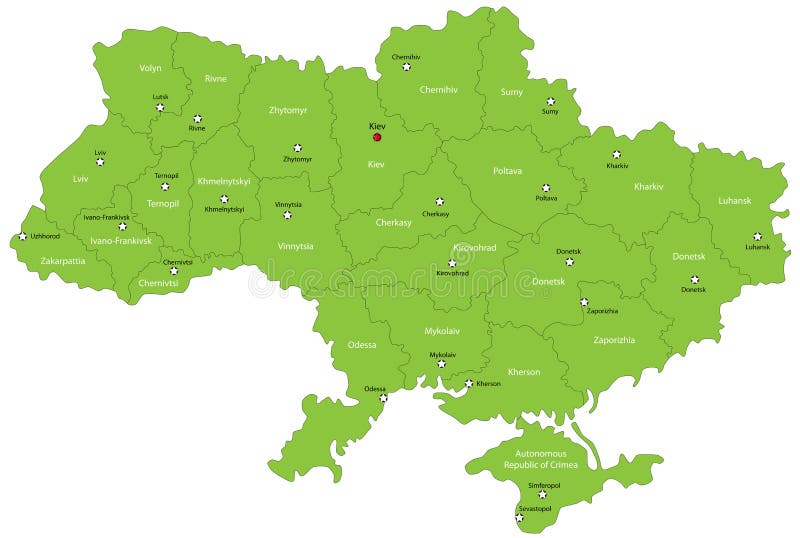
Free with trial Ukraine map designed in illustration with the oblasts colored in green colors and with the main cities. Neighbouring countries are in an additional format (. AI) in the latent layer. Province vectors Ukraine map. Designed in illustration with the oblasts colored in green colors and with the main cities. Neighbouring countries are in an additional format (. Ukraine map designed in illustration with the oblasts colored in green colors and with the main cities. Neighbouring countries are in an additional format (. AI) in the latent layer.
Free with trial Illinois map. Colorful illustrated design of the map of Illinois (USA), including counties and county seats. Isolated against a white background. Province vectors Illinois map. Colorful illustrated design of the map of Illinois (USA), including counties and county seats. Isolated against a white background
Free with trial Thailand map designed in illustration with the provinces and the main cities. (Map is hight resolution). Province vectors Thailand map. Designed in illustration with the provinces and the main cities. (Map is hight resolution
Free with trial India map designed in illustration with the regions colored in bright colors and with the main cities. On an illustration neighbouring countries are shown too. Province vectors Map of India. India map designed in illustration with the regions colored in bright colors and with the main cities. On an illustration neighbouring countries. India map designed in illustration with the regions colored in bright colors and with the main cities. On an illustration neighbouring countries are shown too
Free with trial Honduras map designed in illustration with the regions colored in bright colors and with the main cities. Province vectors Honduras map. Designed in illustration with the regions colored in bright colors and with the main cities
Free with trial Map of Minnesota state designed in illustration with the counties and the county seats. Province vectors Minnesota map. Map of Minnesota state designed in illustration with the counties and the county seats. Map of Minnesota state designed in illustration with the counties and the county seats.
Free with trial Sri Lanka map designed in illustration with the regions and provinces with the main cities. (Map is in high resolution). Province vectors Sri Lanka map. Designed in illustration with the regions and provinces with the main cities. (Map is in high resolution
Free with trial Nicaragua map designed in illustration with the regions colored in bright colors and with the main cities. Province vectors Nicaragua map. Designed in illustration with the regions colored in bright colors and with the main cities
Free with trial Map of Panama. Panama map designed in illustration with the regions colored in bright colors and with the main cities. (Map is hight resolution. Province vectors Map of Panama. Panama map designed in illustration with the regions colored in bright colors and with the main cities. (Map is hight resolution
Free with trial Map of Ohio state designed in illustration with the counties and the county seats. Province vectors State of Ohio. Map of Ohio state designed in illustration with the counties and the county seats. Map of Ohio state designed in illustration with the counties and the county seats.
Free with trial Turkey map designed in illustration with the regions colored in bright colors and with the main cities. On an illustration neighbouring countries are shown too. Province vectors Map of Turkey. Turkey map designed in illustration with the regions colored in bright colors and with the main cities. On an illustration neighbouring countries. Turkey map designed in illustration with the regions colored in bright colors and with the main cities. On an illustration neighbouring countries are shown too
Free with trial Michigan state. Map of Michigan state designed in illustration with the counties and the county seats. (Map is hight resolution. Province vectors Michigan state. Map of Michigan state designed in illustration with the counties and the county seats. (Map is hight resolution
Free with trial Map of Vermont state designed in illustration with the counties and the county seats. (Map is hight resolution). Province vectors Map of Vermont. State designed in illustration with the counties and the county seats. (Map is hight resolution
Free with trial California map. Map of California state designed in illustration with the counties and the county seats. (Map is hight resolution. Province vectors California map. Map of California state designed in illustration with the counties and the county seats. (Map is hight resolution
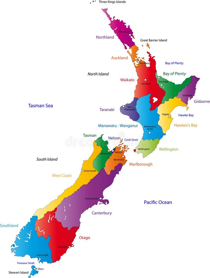
Free with trial New Zealand map with the regions colored in bright colors and with the main cities. Province vectors New Zealand map. With the regions colored in bright colors and with the main cities
Free with trial State of Nevada. Map of Nevada state designed in illustration with the counties and the county seats. (Map is hight resolution. Province vectors State of Nevada. Map of Nevada state designed in illustration with the counties and the county seats. (Map is hight resolution
Free with trial South Korea map designed in illustration with the regions colored in bright colors and with the main cities. (Map is hight resolution). Province vectors South Korea map. Designed in illustration with the regions colored in bright colors and with the main cities. (Map is hight resolution
Free with trial Malaysia map designed in illustration with the provinces and the main cities. (Map is hight resolution). Province vectors Map of Malaysia. Malaysia map designed in illustration with the provinces and the main cities. (Map is hight resolution. Malaysia map designed in illustration with the provinces and the main cities. (Map is hight resolution)
Free with trial Map of Missouri. Illustrated design of the map of Missouri (USA), including counties and county seats. Isolated against a white background. Province vectors Map of Missouri. Illustrated design of the map of Missouri (USA), including counties and county seats. Isolated against a white background
Free with trial State of Florida. Map of Florida state designed in illustration with the counties and the county seats. (Map is hight resolution. Province vectors State of Florida. Map of Florida state designed in illustration with the counties and the county seats. (Map is hight resolution
Free with trial State of Georgia. Map of Georgia state designed in illustration with the counties and the county seats. (Map is hight resolution. Province vectors State of Georgia. Map of Georgia state designed in illustration with the counties and the county seats. (Map is hight resolution
Free with trial State of Virginia. Colorful illustrated design of the map of Virginia (USA), including counties and county seats. Isolated against a white background. Province vectors State of Virginia. Colorful illustrated design of the map of Virginia (USA), including counties and county seats. Isolated against a white background
 Sign in