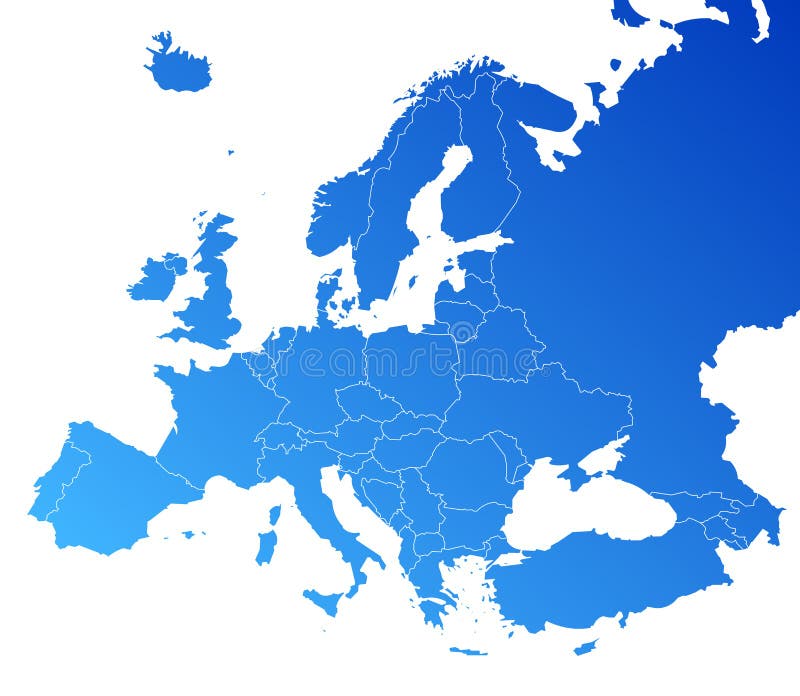
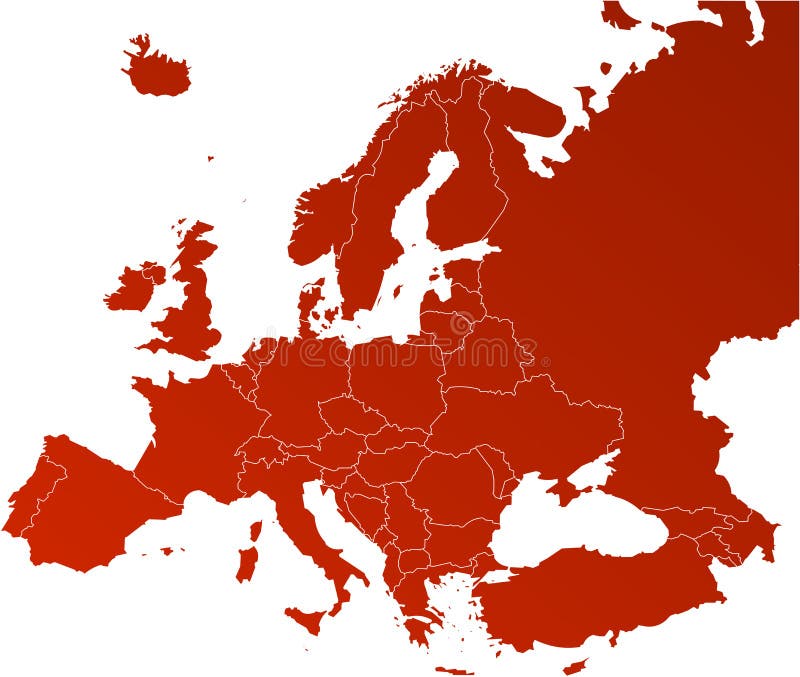
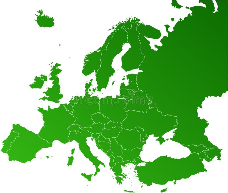
Free with trial Europe map, Vector map - size and color can be changed. Region vectors Europe vector map. Europe map, Vector map - size and color can be changed. Europe map, Vector map - size and color can be changed.
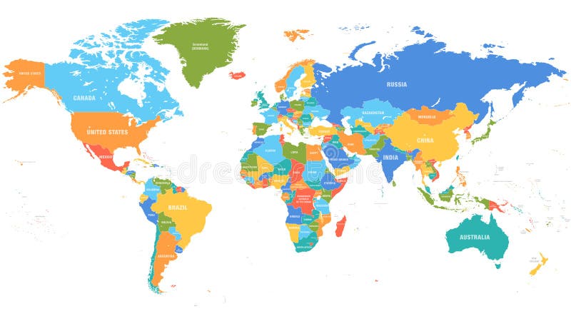
Free with trial Colored world map. Political maps, colourful world countries and country names. Geography politics map, world land atlas or planet cartography vector illustration. Region vectors Colored world map. Political map. S, colourful world countries and country names. Geography politics map, world land atlas or planet cartography vector
Free with trial Regional world map. All countries, vector regional world map, done in illustrator. idea for developing regional experience. Region vectors Regional world map. All countries, vector regional world map, done in illustrator. idea for developing regional experience
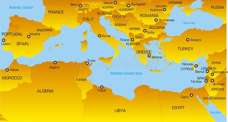
Free with trial Region of lands around the Mediterranean Sea. South Europe, North Africa and Near East with capitals, national borders, rivers and lakes. English labeling and scaling. Illustration. Region vectors Mediterranean Sea Region Political Map. Region of lands around the Mediterranean Sea. South Europe, North Africa and Near East with capitals, national borders. Region of lands around the Mediterranean Sea. South Europe, North Africa and Near East with capitals, national borders, rivers and lakes. English labeling and scaling. Illustration.
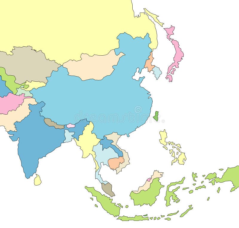
Free with trial Colored detailed vector map of Asia Pacific Region. Illustration. Region vectors Colored detailed vector map of Asia Pacific Region. Illustration
Free with trial Mediterranean region. Vector color map of Mediterranean region countries. Region vectors Mediterranean region. Vector color map of Mediterranean region countries
Free with trial Vector illustration as skyline silhouette of the new regional area of oresund, involving the danish capital copenhagen and the swedish third biggest city malmo. Region vectors New oresund region skyline. Vector illustration as skyline silhouette of the new regional area of oresund, involving the danish capital copenhagen and the. Vector illustration as skyline silhouette of the new regional area of oresund, involving the danish capital copenhagen and the swedish third biggest city malmo
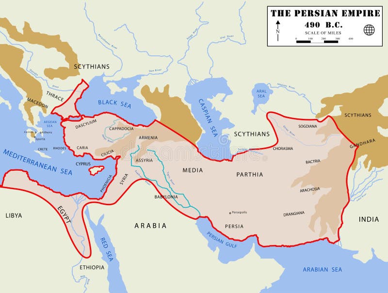
Free with trial Illustation of a detailed map of the Persian Empire, at the moment of the its maximum extension, with real region names. Region vectors Persian Empire map (detailed). Illustation of a detailed map of the Persian Empire, at the moment of the its maximum extension, with real region names. Illustation of a detailed map of the Persian Empire, at the moment of the its maximum extension, with real region names.
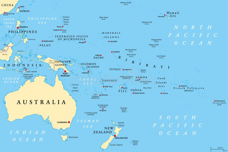
Free with trial Oceania political map. Region, centered on central Pacific Ocean islands. With Melanesia, Micronesia and Polynesia, including Australasia and Malay Archipelago. Illustration. English labeling. Vector. Region vectors Oceania political map. Region, centered on central Pacific Ocean islands. With Melanesia, Micronesia and Polynesia, including Australasia and Malay Archipelago
Free with trial United States, Census regions and divisions, political map. Region definition widely used for data collection and analysis. The most commonly used classification system. English. Illustration. Vector. Region vectors United States, Census regions and divisions, political map. Region definition widely used for data collection and analysis. The most commonly used
Free with trial Norway set. Detailed country shape with region borders, flags and icons isolated on white background. Region vectors Norway set. Detailed country shape with region borders, flags and icons isolated on white background
Free with trial South Holland - province of the Netherlands. Administrative division of the Netherlands. Map of South Holland with municipalities. Region vectors South Holland - province of the Netherlands. Administrative division of the Netherlands. Map of South Holland with municipalities
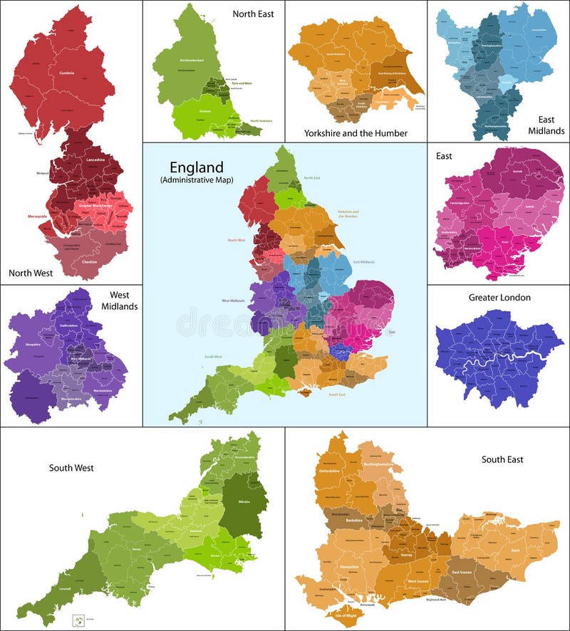
Free with trial The map shows the current subdivisions of England with a principal local authority: two-tier non-metropolitan counties and their non-metropolitan districts, metropolitan boroughs, unitary authorities, London boroughs and the sui generis City of London and Isles of Scilly. Region vectors England map. The map shows the current subdivisions of England with a principal local authority: two-tier non-metropolitan counties and their non-metropolitan. The map shows the current subdivisions of England with a principal local authority: two-tier non-metropolitan counties and their non-metropolitan districts, metropolitan boroughs, unitary authorities, London boroughs and the sui generis City of London and Isles of Scilly
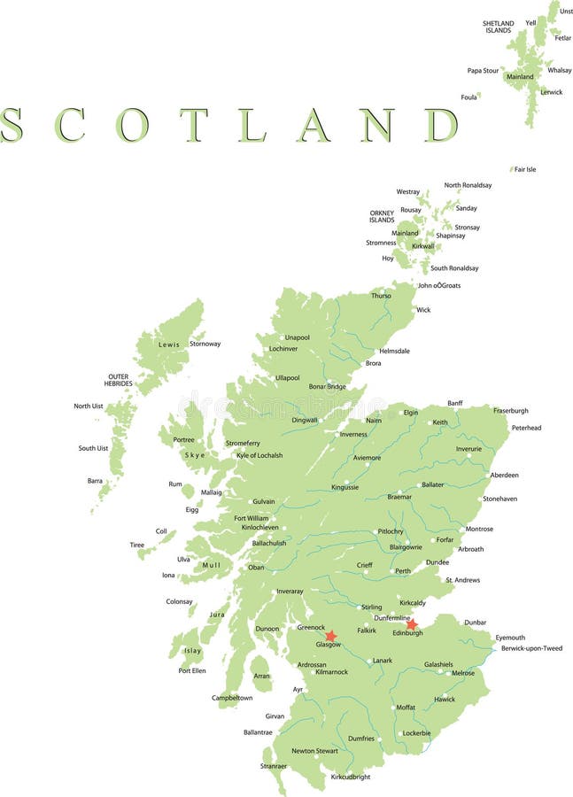
Free with trial Scotland map. Scotland is divided into 32 areas designated as council areas which are all governed by unitary authorities designated as councils. Region vectors Scotland map. Scotland is divided into 32 areas designated as council areas which are all governed by unitary authorities designated as councils
Free with trial Wales map. Administrative Wales map which is divided into 22 unitary authority areas. Region vectors Wales map. Administrative Wales map which is divided into 22 unitary authority areas
Free with trial Asia map. Colorful Asia map with countries and capital cities. Region vectors Asia map. Colorful Asia map with countries and capital cities
Free with trial Sicily map. Illustration of the map of Sicily with its main cities, rivers, mountains and archaeological sites. Region vectors Sicily map. Illustration of the map of Sicily with its main cities, rivers, mountains and archaeological sites
Free with trial Europe map, Vector map - size and color can be changed. Region vectors Europe vector map. Europe map, Vector map - size and color can be changed. Europe map, Vector map - size and color can be changed.
Free with trial Caribbean map. Colorful Caribbean map with countries and capital cities. Region vectors Caribbean map. Colorful Caribbean map with countries and capital cities
Free with trial Vintage map of North America. Vector Illustration of Vintage map of North America. Region vectors Vintage map of North America. Vector Illustration of Vintage map of North America
Free with trial Vector poster map city London. Detailed city map, vector map london for print of posters. Region vectors Vector poster map city London. Detailed city map, vector map london for print of posters
Free with trial Detailed star map with names of stars. High detailed star map with names of stars, contellations and Messier objects, colored vector. Region vectors Detailed star map with names of stars. High detailed star map with names of stars, contellations and Messier objects, colored vector
Free with trial Province of Canada - Quebec. Administrative division of Canada. Map of Quebec with regions and main cities, vector illustration. Region vectors Province of Canada - Quebec. Administrative division of Canada. Map of Quebec with regions and main cities, vector illustration
Free with trial Administrative division of Canada with regions and main cities. Region vectors Canada map. Administrative division of Canada with regions and main cities. Administrative division of Canada with regions and main cities.
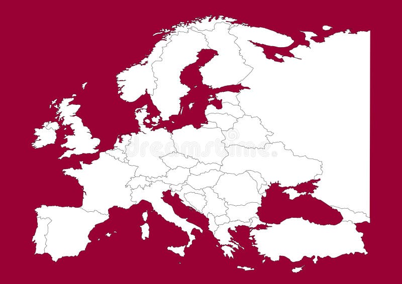
Free with trial This is a Europe map, Vector map - size and color can be changed for additional format! Great for your editorial article, news repport and other media!. Region vectors Europe vectorial map on red. This is a Europe map, Vector map - size and color can be changed for additional format! Great for your editorial article, news. This is a Europe map, Vector map - size and color can be changed for additional format! Great for your editorial article, news repport and other media!
Free with trial Sweden map. Hand drawn with counties on separate layers. Region vectors Sweden map. Hand drawn with counties on separate layers
Free with trial Scotland map part of the United Kingdom. Region vectors Scotland map. Scotland map part of the United Kingdom. Scotland map part of the United Kingdom.
Free with trial Europe map, Vector map - size and color can be changed. Region vectors Europe vector map. Europe map, Vector map - size and color can be changed. Europe map, Vector map - size and color can be changed.
Free with trial Vector map of Africa with present political borders. Region vectors Africa vector map. Vector map of Africa with present political borders. Vector map of Africa with present political borders.
Free with trial China political map with capital Beijing, national borders, important cities, rivers and lakes. English labeling and scaling. Illustration. Region vectors China Political Map. With capital Beijing, national borders, important cities, rivers and lakes. English labeling and scaling. Illustration
Free with trial Ohio Map. Illustration of the map of the Great State of Ohio, USA. Featuring its main cities, rivers, lakes and the highest peak of the state. Region vectors Ohio Map. Illustration of the map of the Great State of Ohio, USA. Featuring its main cities, rivers, lakes and the highest peak of the state
Free with trial Antarctica Political Map with south pole, scientific research stations and ice shelfs. English labeling and scaling. Illustration. Region vectors Antarctica Political Map. With south pole, scientific research stations and ice shelfs. English labeling and scaling. Illustration
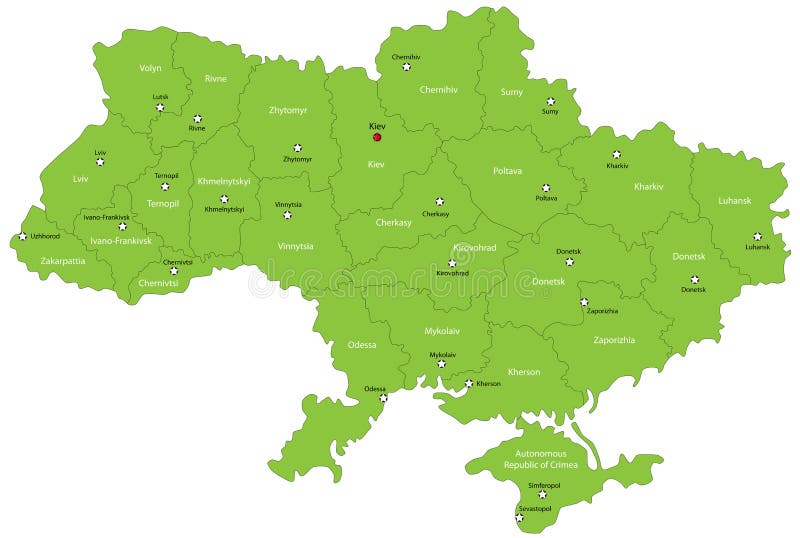
Free with trial Ukraine map designed in illustration with the oblasts colored in green colors and with the main cities. Neighbouring countries are in an additional format (. AI) in the latent layer. Region vectors Ukraine map. Designed in illustration with the oblasts colored in green colors and with the main cities. Neighbouring countries are in an additional format (. Ukraine map designed in illustration with the oblasts colored in green colors and with the main cities. Neighbouring countries are in an additional format (. AI) in the latent layer.
Free with trial Indiana Map. Illustration of the map of the Great State of Indiana, USA. Featuring rivers, lakes and the highest peak of the state. Region vectors Indiana Map. Illustration of the map of the Great State of Indiana, USA. Featuring rivers, lakes and the highest peak of the state
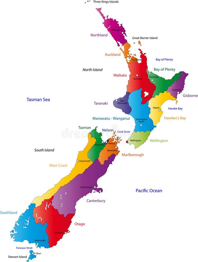
Free with trial New Zealand map with the regions colored in bright colors and with the main cities. Region vectors New Zealand map. With the regions colored in bright colors and with the main cities
Free with trial City map. Seamless background. In vector file: all elements easy for select and change on separated layers; all colors easy for change (swatches). Region vectors City seamless vector wallpaper. City map. Seamless background. In vector file: all elements easy for select and change on separated layers; all colors easy for. City map. Seamless background. In vector file: all elements easy for select and change on separated layers; all colors easy for change (swatches)
Free with trial Vector poster map city New York. Detailed city map, vector map New York for printing posters. Region vectors Vector poster map city New York. Detailed city map, vector map New York for printing posters
Free with trial An icon or logo that represents community and wellbeing (available as vector). Region vectors The heart of the community. An icon or logo that represents community and wellbeing (available as vector. An icon or logo that represents community and wellbeing (available as vector)
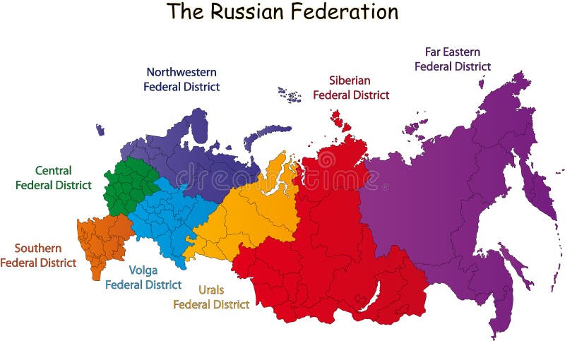
Free with trial Russian Federation designed in illustration with the federal district (Map is hight resolution). Region vectors Russian Federation map. Russian Federation designed in illustration with the federal district (Map is hight resolution. Russian Federation designed in illustration with the federal district (Map is hight resolution)
Free with trial Sky map with stars and constellations. Vector. Region vectors Sky map with stars and constellations. Vector
Free with trial City map Paris, travel vector poster design. City map view from space, navigation in the city. Region vectors City map Paris, travel vector poster design. City map view from space, navigation in the city
Free with trial Russia map. Color Russian federation map over white. Region vectors Russia map. Color Russian federation map over white
Free with trial Africa Map. A great Africa Map. Vector. Region vectors Africa Map. A great Africa Map. Vector
Free with trial Seamles plaid. Textured tartan plaid. Seamless vector pattern. Region vectors Seamles plaid. Textured tartan plaid. Seamless vector pattern
Free with trial Limburg - province of the Netherlands. Administrative division of the Netherlands. Map of Limburg with municipalities. Region vectors Limburg - province of the Netherlands. Administrative division of the Netherlands. Map of Limburg with municipalities
Free with trial Map french wine isolated on white. Region vectors Map french wine. Map french wine isolated on white. Map french wine isolated on white.
Free with trial Alpine panorama reflecting in clear water (other landscapes are in my gallery). Region vectors Alpine landscape. Alpine panorama reflecting in clear water (other landscapes are in my gallery. Alpine panorama reflecting in clear water (other landscapes are in my gallery)
Free with trial Airport City Map. A city map with an airport with signs. Region vectors Airport City Map. A city map with an airport with signs
Free with trial Europe map, Vector map - size and color can be changed. Region vectors Europe vector map. Europe map, Vector map - size and color can be changed. Europe map, Vector map - size and color can be changed.
Free with trial Poland map designed in illustration with the 16 provinces colored in green colors and with the main cities. Neighbouring countries are in an additional format (. AI) in the latent layer. Region vectors Poland. Map designed in illustration with the 16 provinces colored in green colors and with the main cities. Neighbouring countries are in an additional format. Poland map designed in illustration with the 16 provinces colored in green colors and with the main cities. Neighbouring countries are in an additional format (.AI) in the latent layer.
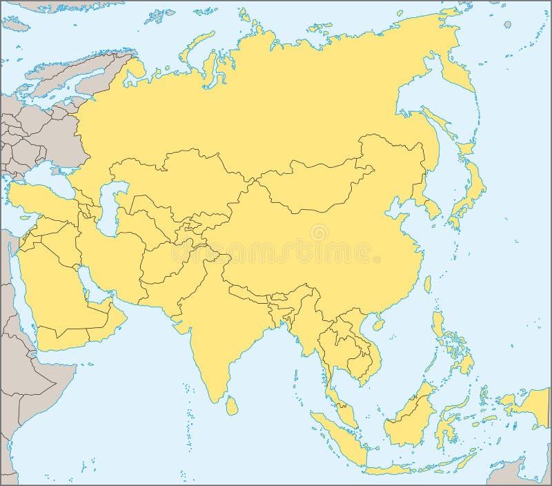
Free with trial Political map of Asia with present states borders, detailed vector map. Region vectors Asia political map. Political map of Asia with present states borders, detailed vector map. Political map of Asia with present states borders, detailed vector map.
Free with trial Parkinsons Disease. Cross-section of the human brain showing the substantia nigra, the region affected by Parkinsons disease. Illustration shows Neuronal Pathways that Degenerate in Parkinsons Disease. Region vectors Parkinsons Disease. Cross-section of the human brain showing the substantia nigra, the region affected by . Illustration shows Neuronal Pathways that. Parkinsons Disease. Cross-section of the human brain showing the substantia nigra, the region affected by Parkinsons disease. Illustration shows Neuronal Pathways that Degenerate in Parkinsons Disease.
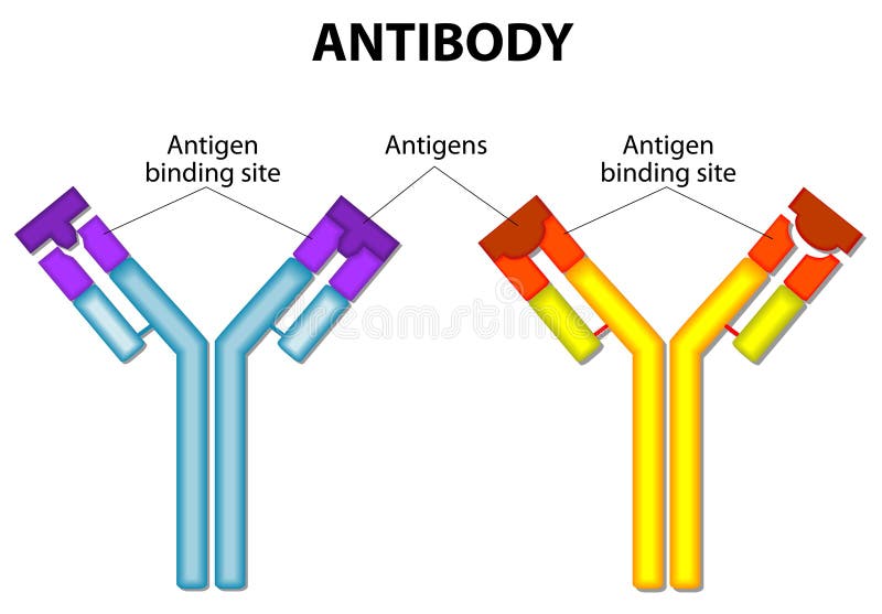
Free with trial Antibody and Antigen. Antibody molecule and Antigen. vector diagram. Region vectors Antibody and Antigen. Antibody molecule and Antigen. vector diagram
Free with trial North Brabant - province of the Netherlands. Administrative division of the Netherlands. Map of North Brabant with municipalities. Region vectors North Brabant - province of the Netherlands. Administrative division of the Netherlands. Map of North Brabant with municipalities
Free with trial Diagram showing the major components of a typical antibody molecule (IgE). Region vectors Anatomy of an antibody. Diagram showing the major components of a typical antibody molecule (IgE. Diagram showing the major components of a typical antibody molecule (IgE)
Free with trial During La Niña years, the pool of warm oceanic waters shifts westward. Rainfall increases over Indonesia and the western Pacific region and decreases over the east-central and eastern Pacific Ocean. The climate is drier and colder off the coast of America. Region vectors La Nina. During La Niña years, the pool of warm oceanic waters shifts westward. Rainfall increases over Indonesia and the western Pacific region and decreases. During La Niña years, the pool of warm oceanic waters shifts westward. Rainfall increases over Indonesia and the western Pacific region and decreases over the east-central and eastern Pacific Ocean. The climate is drier and colder off the coast of America.
Free with trial Illustrated Map of Asia. Illustration of map of Asia with borders. Region vectors Illustrated Map of Asia. Illustration of map of Asia with borders
Free with trial Europe map, Vector map - size and color can be changed. Region vectors Europe vector map. Europe map, Vector map - size and color can be changed. Europe map, Vector map - size and color can be changed.
Free with trial CHICKEN MEAT CUTS SCHEME. Set of meat cuts diagram in style - white on blackboard. Region vectors CHICKEN MEAT CUTS SCHEME. Set of meat cuts diagram in style - white on blackboard
Free with trial Regions and districts of Czech republic on vector map. Region vectors Czech republic vector map. Regions and districts of Czech republic on vector map. Regions and districts of Czech republic on vector map.
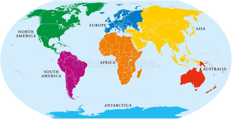
Free with trial Seven continents world map. Asia, Africa, North and South America, Antarctica, Europe and Australia. Detailed map with shorelines and national borders under Robinson projection on white background. Region vectors Seven Continents World Map. Asia, Africa, North and South America, Antarctica, Europe and Australia. Detailed map with shorelines and national borders under
Free with trial Countryside panorama (other landscapes are in my gallery). Region vectors Countryside panorama. (other landscapes are in my gallery
Free with trial Vector poster map city Rome. Detailed city map, vector map Rome for printing posters. Region vectors Vector poster map city Rome. Detailed city map, vector map Rome for printing posters
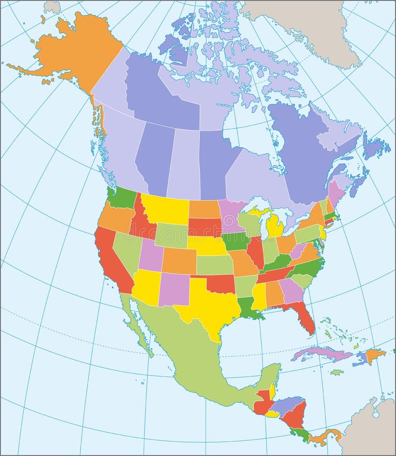
Free with trial Political map of North America with coordinates, present states borders, detailed vector map. Region vectors North America political map. Political map of North America with coordinates, present states borders, detailed vector map. Political map of North America with coordinates, present states borders, detailed vector map.
Free with trial Detailed Political World map. Vector illustration. Region vectors Detailed Political World map. Vector illustration
Free with trial Amsterdam colored vector map. View from above. Region vectors Amsterdam colored vector map. View from above
Free with trial Vector poster map city Paris. Detailed city plan, vector map of Paris for poster printing. Region vectors Vector poster map city Paris. Detailed city plan, vector map of Paris for poster printing
Free with trial High detailed sky map of Northern hemisphere with names of stars. And constellations colored on white. Region vectors High detailed sky map of Northern hemisphere with names of stars. And constellations colored on white
Free with trial Vector poster map city Moscow. Detailed city map, vector map of Moscow for printing posters. Region vectors Vector poster map city Moscow. Detailed city map, vector map of Moscow for printing posters
Free with trial Vector poster map city Chicago. Detailed city map, vector map Chicago for poster printing. Region vectors Vector poster map city Chicago. Detailed city map, vector map Chicago for poster printing
Free with trial Large detailed vintage color political World Map with lakes and rivers. Highly detailed vector illustration of World Map. Region vectors Large detailed vintage color political World Map with lakes and. Rivers. Highly detailed vector illustration of World Map
Free with trial South Africa map. Color South africa map isolated over white. Region vectors South Africa map. Color South africa map isolated over white
Free with trial Vector poster map city Barcelona. Detailed city map, vector map Barcelona for printing posters. Region vectors Vector poster map city Barcelona. Detailed city map, vector map Barcelona for printing posters
Free with trial Vector poster map city Amsterdam. Detailed city map, vector map Amsterdam for poster printing. Region vectors Vector poster map city Amsterdam. Detailed city map, vector map Amsterdam for poster printing
Free with trial Vector global network connection concept. Can be used as travel, communication or network concept. Region vectors Global network connection concept. Vector global network connection concept. Can be used as travel, communication or network concept. Vector global network connection concept. Can be used as travel, communication or network concept.
Free with trial Central America and the Caribbean map. Highly detailed vector, map of the caribbean area. Region vectors Central America and the Caribbean map. Highly detailed vector, map of the caribbean area
Free with trial USA - United States of America - colored vector map with the division into states. Region vectors USA - United States of America - colored vector map with the division into states.
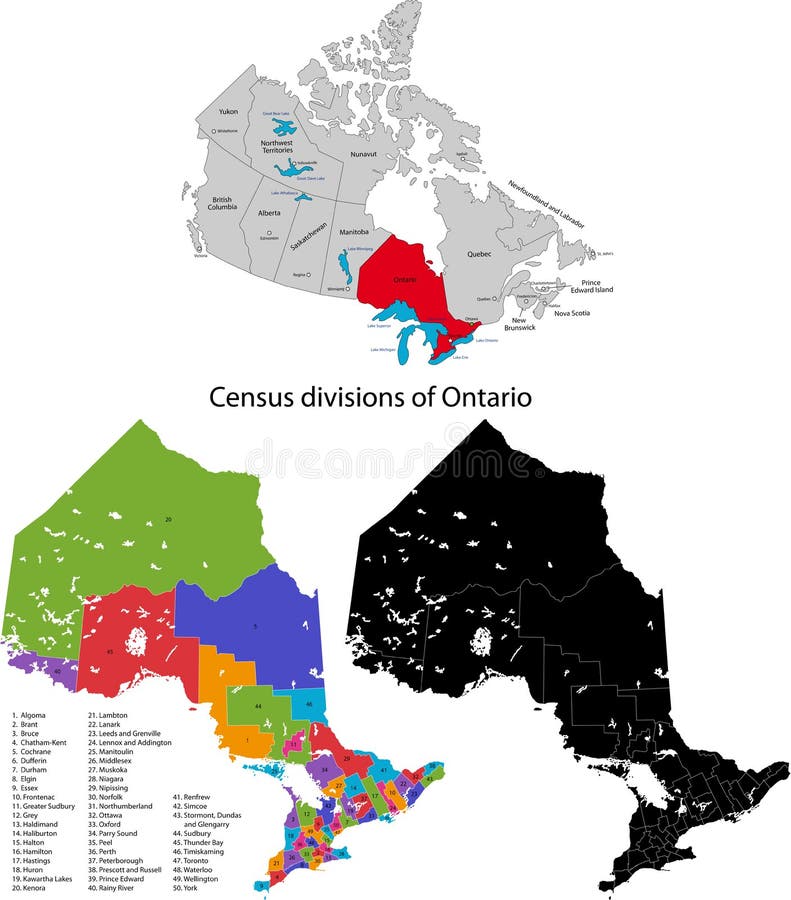
Free with trial Province of Canada - Ontario. Administrative division of Canada. Map of Ontario with census divisions, vector illustration. Region vectors Province of Canada - Ontario. Administrative division of Canada. Map of Ontario with census divisions, vector illustration
Free with trial Detailed vector poster city map Berlin, vector illustration for design. Region vectors Detailed vector poster city map Berlin. Vector illustration for design
Free with trial Map of provinces and territories of Canada. Detailed map of administrative divisions of Canada. Region vectors Map of provinces and territories of Canada. Detailed map of administrative divisions of Canada
 Sign in