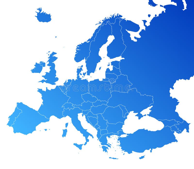
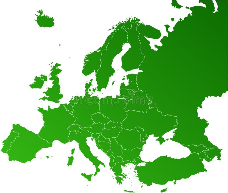
Free with trial Europe map, Vector map - size and color can be changed. Regions vectors Europe vector map. Europe map, Vector map - size and color can be changed. Europe map, Vector map - size and color can be changed.
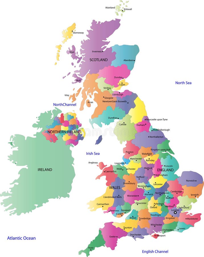
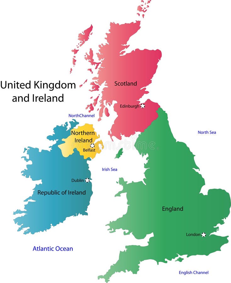
Free with trial UK and Ireland map. A map of the UK with the regions on the continent colored in bright colors and the main cities. Continent isolated on a white background. Regions vectors UK and Ireland map. A map of the UK with the regions on the continent colored in bright colors and the main cities. Continent isolated on a white background
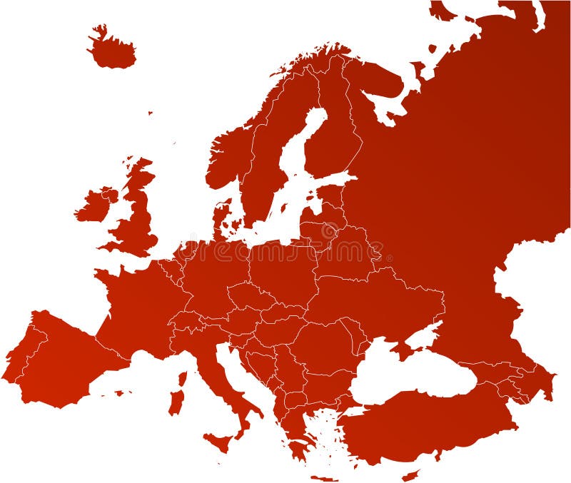
Free with trial Europe map, Vector map - size and color can be changed. Regions vectors Europe vector map. Europe map, Vector map - size and color can be changed. Europe map, Vector map - size and color can be changed.
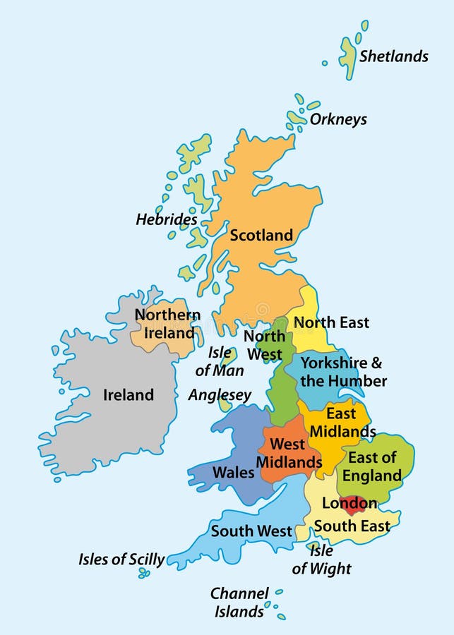
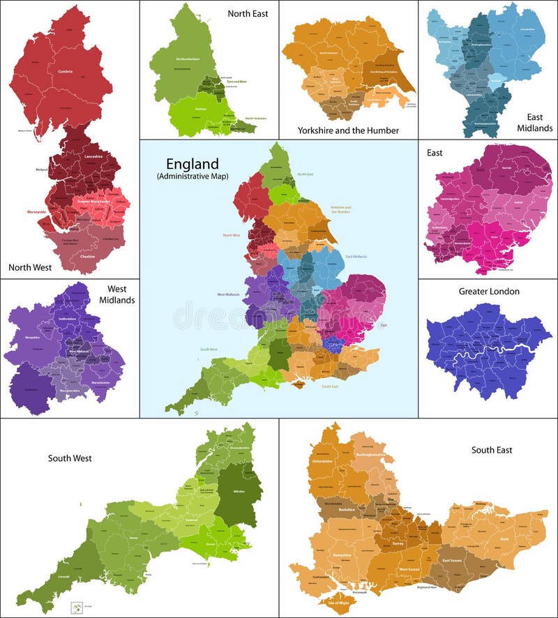
Free with trial Vector map with the English regions. Regions vectors Regions of England. Vector map with the English regions. Vector map with the English regions.
Free with trial United States, Census regions and divisions, political map. Region definition widely used for data collection and analysis. The most commonly used classification system. English. Illustration. Vector. Regions vectors United States, Census regions and divisions, political map. Region definition widely used for data collection and analysis. The most commonly used
Free with trial Vector map of Africa continent colored by regions. All flags of African countries arranged in alphabetical order. And singled out by regions. Regions vectors Vector map of Africa continent colored by regions. All flags of African countries arranged in alphabetical order. And singled out by regions
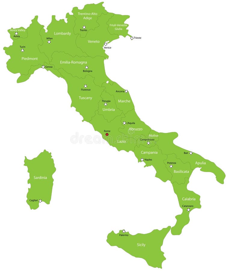
Free with trial Italy map designed in illustration with the 20 regions colored in green colors and with the main cities. Neighbouring countries are in an additional format (. AI) in the latent layer. Regions vectors Italy. Map designed in illustration with the 20 regions colored in green colors and with the main cities. Neighbouring countries are in an additional format (. Italy map designed in illustration with the 20 regions colored in green colors and with the main cities. Neighbouring countries are in an additional format (. AI) in the latent layer.
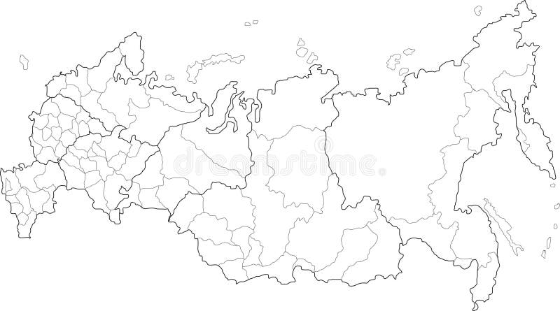
Free with trial Russia map. Vector map of Russia on white background. The Russia map has borders of areas and regions. Regions vectors Russia map. Vector map of Russia on white background. The Russia map has borders of areas and regions
Free with trial Vector China map. Green China map with regions colored in green. Vector illustration. Regions vectors Vector China map. Green China map with regions colored in green. Vector illustration
Free with trial China map. People's Republic of China map designed in illustration with regions colored in bright colors. Vector illustration. Regions vectors China map. People's Republic of China map designed in illustration with regions colored in bright colors. Vector illustration
Free with trial Map of Italy. Concept infographic template with regions made out of puzzle pieces. Regions vectors Map of Italy. Concept infographic template with regions made out of puzzle pieces
Free with trial Regions and districts of Czech republic on vector map. Regions vectors Czech republic vector map. Regions and districts of Czech republic on vector map. Regions and districts of Czech republic on vector map.
Free with trial Russian regions vector map. Vector political map of Russia with districts on white background. Regions vectors Russian regions vector map. Vector political map of Russia with districts on white background
Free with trial Vector map of China provinces colored by regions. Chinese names gives in parentheses. Regions vectors Vector map of China provinces colored by regions. Chinese names gives in parentheses
Free with trial Brazilian regions. Map of Brazilian regions for websites, illustration, icons. Regions vectors Brazilian regions. Map of Brazilian regions for websites, illustration, icons
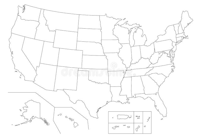
Free with trial Outline United States Of America map. US background template. Map of America with separated countries and interstate borders. All states and regions are named in the layer panel. Regions vectors Outline United States Of America map. US background template. Map of America with separated countries and interstate borders. All states and regions are named
Free with trial Outline Political US Map with titles of the states. All USA regions are separated and named in a layer panel. Regions vectors Outline Political US Map with titles of the states. All USA regions are separated and named in a layer panel
Free with trial Italy map. Italy with 20 color regions on white background. Regions vectors Italy map. Italy with 20 color regions on white background
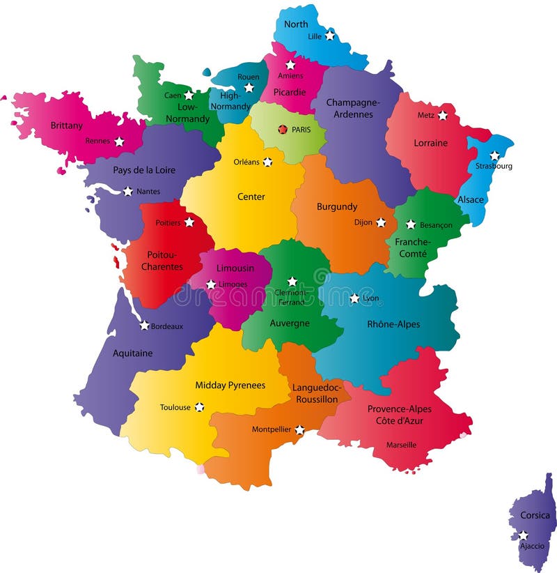
Free with trial France map designed in illustration with the regions colored in bright colors and with the main cities. Neighbouring countries are in an additional format (. AI) in the latent layer. Regions vectors Map of France. France map designed in illustration with the regions colored in bright colors and with the main cities. Neighbouring countries are in an. France map designed in illustration with the regions colored in bright colors and with the main cities. Neighbouring countries are in an additional format (. AI) in the latent layer.
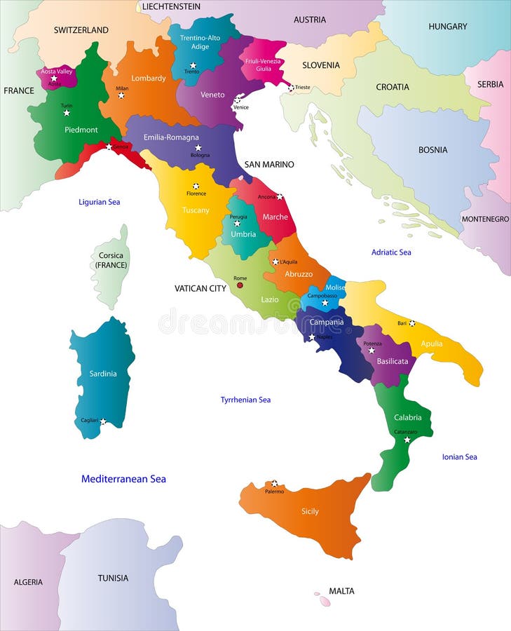
Free with trial Italy map designed in illustration with the regions colored in bright colors and with the main cities. On an illustration neighbouring countries are shown too. Regions vectors Color map of Italy. Italy map designed in illustration with the regions colored in bright colors and with the main cities. On an illustration neighbouring. Italy map designed in illustration with the regions colored in bright colors and with the main cities. On an illustration neighbouring countries are shown too
Free with trial Belgium map designed in illustration with the regions colored in grey colors and with the main cities. Neighbouring countries are in an additional format (. AI) in the latent layer. Regions vectors Belgium map. Designed in illustration with the regions colored in grey colors and with the main cities. Neighbouring countries are in an additional format (.AI
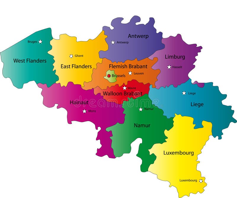
Free with trial Belgium map designed in illustration with the regions colored in bright colors and with the main cities. Neighbouring countries are in an additional format (. AI) in the latent layer. Regions vectors Map of Belgium. Belgium map designed in illustration with the regions colored in bright colors and with the main cities. Neighbouring countries are in an. Belgium map designed in illustration with the regions colored in bright colors and with the main cities. Neighbouring countries are in an additional format (. AI) in the latent layer.
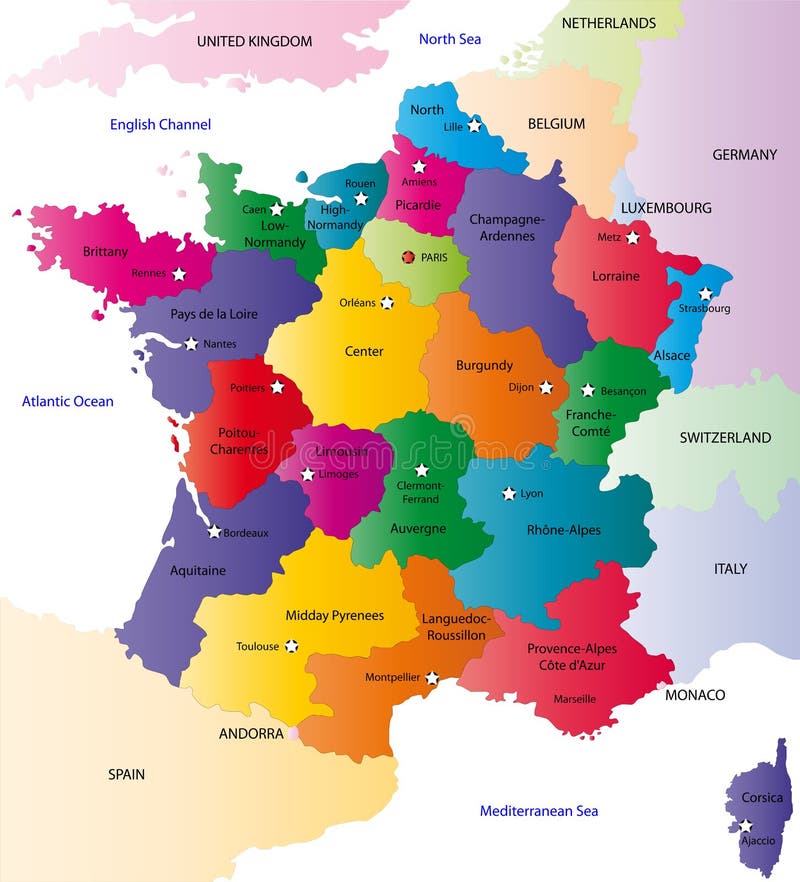
Free with trial France map designed in illustration with the regions colored in bright colors and with the main cities. On an illustration neighbouring countries are shown too. Regions vectors Vector France map. France map designed in illustration with the regions colored in bright colors and with the main cities. On an illustration neighbouring. France map designed in illustration with the regions colored in bright colors and with the main cities. On an illustration neighbouring countries are shown too.
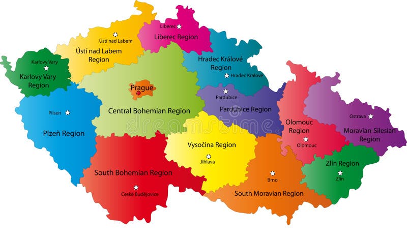
Free with trial Czech Republic map designed in illustration with the regions colored in bright colors and with the main cities. Neighbouring countries are in an additional format (. AI) in the latent layer. Regions vectors Czech Republic map. Designed in illustration with the regions colored in bright colors and with the main cities. Neighbouring countries are in an additional. Czech Republic map designed in illustration with the regions colored in bright colors and with the main cities. Neighbouring countries are in an additional format (.AI) in the latent layer.
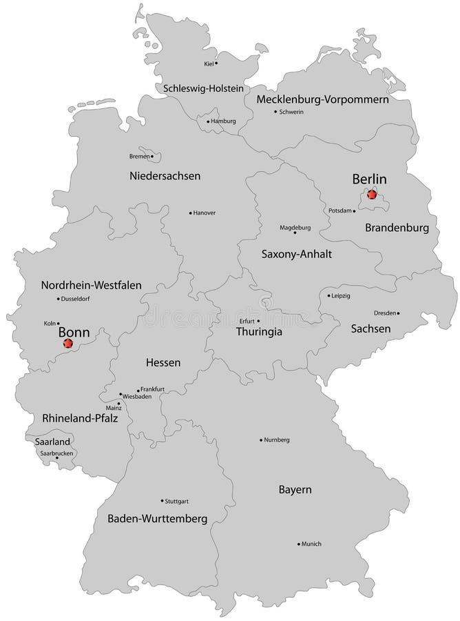
Free with trial Blind map of Germany with regions borders. Names of the regions, main cities, and neighbouring countries are in an additional format (. AI) in the latent layer. Regions vectors Blind map of Germany. With regions borders. Names of the regions, main cities, and neighbouring countries are in an additional format (.AI) in the latent layer
Free with trial The map shows the current subdivisions of England with a principal local authority: two-tier non-metropolitan counties and their non-metropolitan districts, metropolitan boroughs, unitary authorities, London boroughs and the sui generis City of London and Isles of Scilly. Regions vectors England map. The map shows the current subdivisions of England with a principal local authority: two-tier non-metropolitan counties and their non-metropolitan. The map shows the current subdivisions of England with a principal local authority: two-tier non-metropolitan counties and their non-metropolitan districts, metropolitan boroughs, unitary authorities, London boroughs and the sui generis City of London and Isles of Scilly
Free with trial Germany map designed in illustration with the regions colored in bright colors and with the main cities. Regions vectors Germany map. Designed in illustration with the regions colored in bright colors and with the main cities
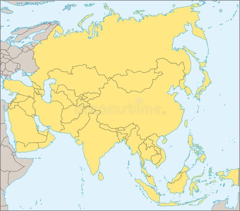
Free with trial Asia map. Colorful Asia map with countries and capital cities. Regions vectors Asia map. Colorful Asia map with countries and capital cities
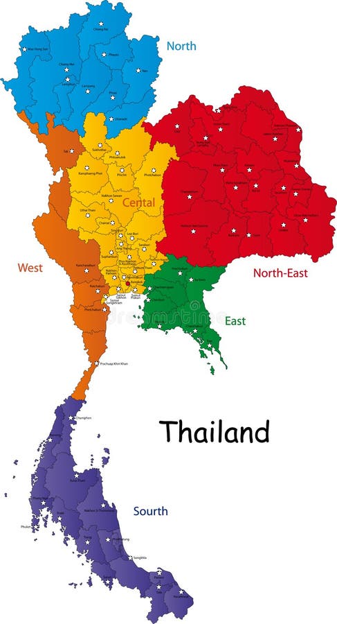
Free with trial Map of Thailand. Thailand map designed in illustration with the regions and provinces with the main cities. (Map is in high resolution. Regions vectors Map of Thailand. Thailand map designed in illustration with the regions and provinces with the main cities. (Map is in high resolution
Free with trial Japan. Map designed in illustration with regions colored in bright colors. Vector illustration. Regions vectors Japan. Map designed in illustration with regions colored in bright colors. Vector illustration
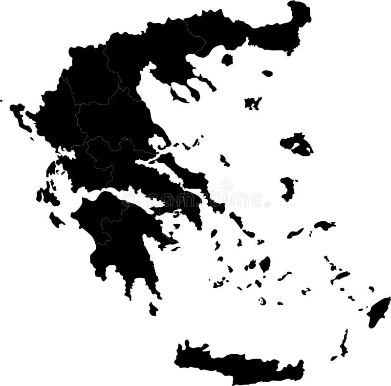
Free with trial Greece. Blind map of Greece with regions borders. Names of the regions, main cities, and neighbouring countries are in an additional format (. AI) in the latent. Regions vectors Greece. Blind map of Greece with regions borders. Names of the regions, main cities, and neighbouring countries are in an additional format (.AI) in the latent
Free with trial Province of Canada - Quebec. Administrative division of Canada. Map of Quebec with regions and main cities, vector illustration. Regions vectors Province of Canada - Quebec. Administrative division of Canada. Map of Quebec with regions and main cities, vector illustration
Free with trial Administrative division of Canada with regions and main cities. Regions vectors Canada map. Administrative division of Canada with regions and main cities. Administrative division of Canada with regions and main cities.
Free with trial A Pole North Map with latitude and longitude. Regions vectors North Map. A Pole North Map with latitude and longitude. A Pole North Map with latitude and longitude.
Free with trial Map of Italy. A stylized map of Italy showing the different provinces. All isolated on white background. Regions vectors Map of Italy. A stylized map of Italy showing the different provinces. All isolated on white background
Free with trial Brain anatomy. Human brain lateral view. Illustration isolated on white background. Regions vectors Brain anatomy. Human brain lateral view. Illustration isolated on white background
Free with trial Elder Futhark (the first 24 main letters from above) is the general Runic characters used all over Northern Europe till the XIII century. Other Runes used in various orders in the rest regions later. Regions vectors Elder Futhark and Other Runes of Northern Europe. Elder Futhark (the first 24 main letters from above) is the general Runic characters used all over Northern. Elder Futhark (the first 24 main letters from above) is the general Runic characters used all over Northern Europe till the XIII century. Other Runes used in various orders in the rest regions later.
Free with trial Europe map, Vector map - size and color can be changed. Regions vectors Europe vector map. Europe map, Vector map - size and color can be changed. Europe map, Vector map - size and color can be changed.
Free with trial Vector map of Africa with present political borders. Regions vectors Africa vector map. Vector map of Africa with present political borders. Vector map of Africa with present political borders.
Free with trial Turkey. Map designed in illustration with regions colored in bright colors. Vector illustration. Regions vectors Turkey. Map designed in illustration with regions colored in bright colors. Vector illustration
Free with trial Japan map. Designed in illustration with regions colored in green colors. Vector illustration. Regions vectors Japan map. Designed in illustration with regions colored in green colors. Vector illustration
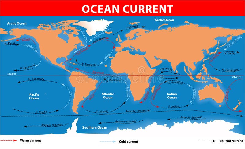
Free with trial Ocean surface currents. The ocean currents. Vector map. Regions vectors Ocean surface currents. The ocean currents. Vector map
Free with trial Panama map designed in illustration with the regions colored in bright colors and with the main cities. (Map is hight resolution). Regions vectors Panama map. Designed in illustration with the regions colored in bright colors and with the main cities. (Map is hight resolution
Free with trial India map designed in illustration with the regions colored in bright colors and with the main cities. On an illustration neighbouring countries are shown too. Regions vectors Map of India. India map designed in illustration with the regions colored in bright colors and with the main cities. On an illustration neighbouring countries. India map designed in illustration with the regions colored in bright colors and with the main cities. On an illustration neighbouring countries are shown too
Free with trial Honduras map designed in illustration with the regions colored in bright colors and with the main cities. Regions vectors Honduras map. Designed in illustration with the regions colored in bright colors and with the main cities
Free with trial Sri Lanka map designed in illustration with the regions and provinces with the main cities. (Map is in high resolution). Regions vectors Sri Lanka map. Designed in illustration with the regions and provinces with the main cities. (Map is in high resolution
Free with trial Nicaragua map designed in illustration with the regions colored in bright colors and with the main cities. Regions vectors Nicaragua map. Designed in illustration with the regions colored in bright colors and with the main cities
Free with trial Map of Panama. Panama map designed in illustration with the regions colored in bright colors and with the main cities. (Map is hight resolution. Regions vectors Map of Panama. Panama map designed in illustration with the regions colored in bright colors and with the main cities. (Map is hight resolution
Free with trial Turkey map designed in illustration with the regions colored in bright colors and with the main cities. On an illustration neighbouring countries are shown too. Regions vectors Map of Turkey. Turkey map designed in illustration with the regions colored in bright colors and with the main cities. On an illustration neighbouring countries. Turkey map designed in illustration with the regions colored in bright colors and with the main cities. On an illustration neighbouring countries are shown too
Free with trial Map of Vietnam. Vietnam map designed in illustration with the regions and provinces colored in bright colors and with the main cities. (Map is hight resolution. Regions vectors Map of Vietnam. Vietnam map designed in illustration with the regions and provinces colored in bright colors and with the main cities. (Map is hight resolution
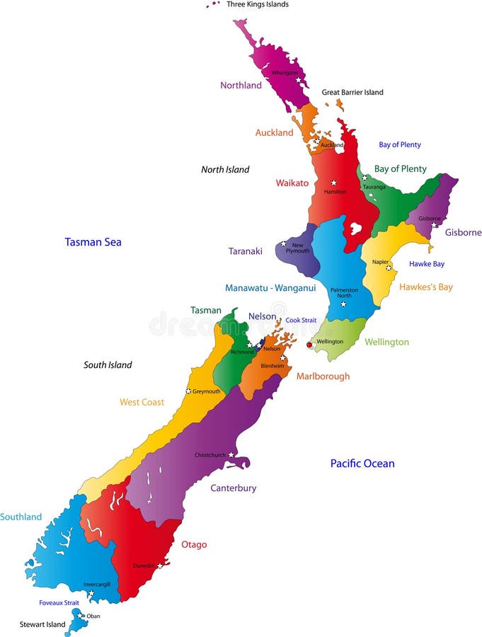
Free with trial New Zealand map with the regions colored in bright colors and with the main cities. Regions vectors New Zealand map. With the regions colored in bright colors and with the main cities
Free with trial South Korea map designed in illustration with the regions colored in bright colors and with the main cities. (Map is hight resolution). Regions vectors South Korea map. Designed in illustration with the regions colored in bright colors and with the main cities. (Map is hight resolution
Free with trial Uk and ireland map designed in illustration with the regions on the continent colored in bright colors and the main cities. Regions vectors UK and Ireland map. Designed in illustration with the regions on the continent colored in bright colors and the main cities
Free with trial Map of South Korea. South Korea map designed in illustration with the regions colored in bright colors and with the main cities. (Map is hight resolution. Regions vectors Map of South Korea. South Korea map designed in illustration with the regions colored in bright colors and with the main cities. (Map is hight resolution
Free with trial Turkey map. Designed in illustration with regions colored in green colors. Vector illustration. Regions vectors Turkey map. Designed in illustration with regions colored in green colors. Vector illustration
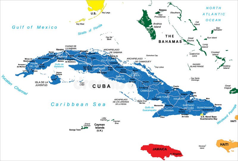
Free with trial Cuba map. Highly detailed vector map of Cuba with administrative regions,main cities and roads. Regions vectors Cuba map. Highly detailed vector map of Cuba with administrative regions,main cities and roads
Free with trial Map of India. An illustrated map of india. Regions vectors Map of India. An illustrated map of india
Free with trial Mexico dark map. Blue dark map of mexico. Regions vectors Mexico dark map. Blue dark map of mexico
Free with trial Europe map, Vector map - size and color can be changed. Regions vectors Europe vector map. Europe map, Vector map - size and color can be changed. Europe map, Vector map - size and color can be changed.
Free with trial Poland map designed in illustration with the 16 provinces colored in green colors and with the main cities. Neighbouring countries are in an additional format (. AI) in the latent layer. Regions vectors Poland. Map designed in illustration with the 16 provinces colored in green colors and with the main cities. Neighbouring countries are in an additional format. Poland map designed in illustration with the 16 provinces colored in green colors and with the main cities. Neighbouring countries are in an additional format (.AI) in the latent layer.
Free with trial Political map of Asia with present states borders, detailed vector map. Regions vectors Asia political map. Political map of Asia with present states borders, detailed vector map. Political map of Asia with present states borders, detailed vector map.
Free with trial Map of China - blank. An illustrated map of china with its single provinces. Regions vectors Map of China - blank. An illustrated map of china with its single provinces
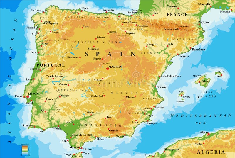
Free with trial Highly detailed physical map of Spain,in vector format,with all the relief forms,regions and big cities. Regions vectors Spain physical map. Highly detailed physical map of Spain,in vector format,with all the relief forms,regions and big cities. Highly detailed physical map of Spain,in vector format,with all the relief forms,regions and big cities.
Free with trial Vector map of Canada. Vector blue canada map on white with territory and regions isolated. Regions vectors Vector map of Canada. Vector blue canada map on white with territory and regions isolated
Free with trial Highly detailed map of Italy with all different regions selectable individual. Regions vectors Political map of Italy. Highly detailed map of Italy with all different regions selectable individual. Highly detailed map of Italy with all different regions selectable individual.
Free with trial Europe map, Vector map - size and color can be changed. Regions vectors Europe vector map. Europe map, Vector map - size and color can be changed. Europe map, Vector map - size and color can be changed.
Free with trial Germany map designed in illustration with the regions colored in grey colors and with the main cities. Neighbouring countries are in an additional format (. AI) in the latent layer. Regions vectors Map of Germany. Germany map designed in illustration with the regions colored in grey colors and with the main cities. Neighbouring countries are in an. Germany map designed in illustration with the regions colored in grey colors and with the main cities. Neighbouring countries are in an additional format (. AI) in the latent layer.
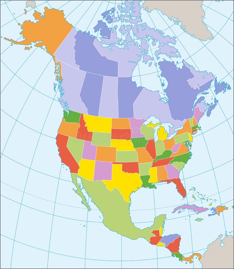
Free with trial Political map of North America with coordinates, present states borders, detailed vector map. Regions vectors North America political map. Political map of North America with coordinates, present states borders, detailed vector map. Political map of North America with coordinates, present states borders, detailed vector map.
Free with trial World countries and capitals (map with precision). Regions vectors World countries and capitals. World countries and capitals (map with precision. World countries and capitals (map with precision)
Free with trial Seven main chakras beaded along the corresponding body regions of a meditating woman. Vector illustration over white background. English labeling. Regions vectors Chakras Woman Description English. Seven main chakras beaded along the corresponding body regions of a meditating woman. Vector illustration over white. Seven main chakras beaded along the corresponding body regions of a meditating woman. Vector illustration over white background. English labeling.
Free with trial Children of different nationalities holding hands together. EPS file available. Regions vectors Multicultural children of the world. Children of different nationalities holding hands together. EPS file available. Children of different nationalities holding hands together. EPS file available.
Free with trial Japan map. Color map of Japan with regions on a white background. Regions vectors Japan map. Color map of Japan with regions on a white background
Free with trial China map. Color map of China with regions on a white background. Regions vectors China map. Color map of China with regions on a white background
Free with trial Canada map with provinces and boundary. Regions vectors Canada map. Canada map with provinces and boundary. Canada map with provinces and boundary.
Free with trial Israel map. Color Israel map with regions over white. Regions vectors Israel map. Color Israel map with regions over white
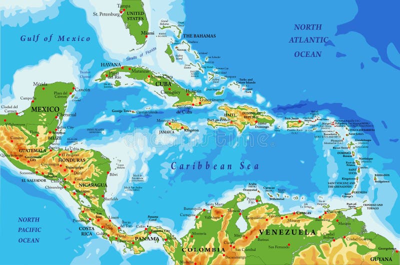
Free with trial Highly detailed physical map of Central America and Caribbean Islands,in vector format,with all the relief forms,regions and big cities. Regions vectors Central America and Caribbean Islands physical map. Highly detailed physical map of Central America and Caribbean Islands,in vector format,with all the relief. Highly detailed physical map of Central America and Caribbean Islands,in vector format,with all the relief forms,regions and big cities.
Free with trial A stylized map of South Africa showing the different provinces. All isolated on white background. Regions vectors Map of South Africa. A stylized map of South Africa showing the different provinces. All isolated on white background. A stylized map of South Africa showing the different provinces. All isolated on white background.
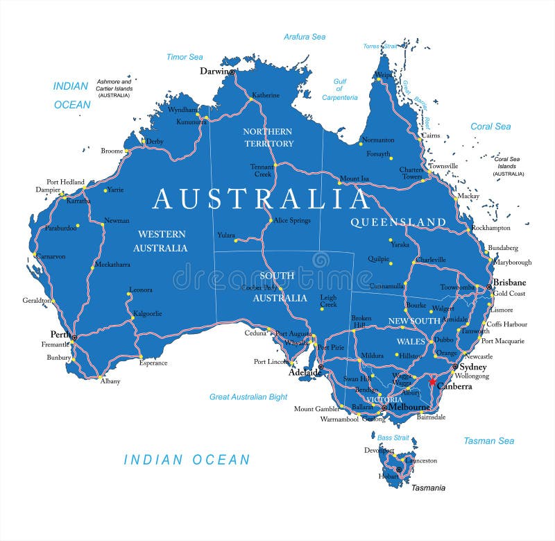
Free with trial Highly detailed vector map of Australia with administrative regions, main cities and roads. Regions vectors Australia road map. Highly detailed vector map of Australia with administrative regions, main cities and roads. Highly detailed vector map of Australia with administrative regions, main cities and roads.
 Sign in