Free with trial Highly detailed physical map of the world,in vector format,with all the relief forms,countries and big cities. Map vectors Physical map of the world. Highly detailed physical map of the world,in vector format,with all the relief forms,countries and big cities. Highly detailed physical map of the world,in vector format,with all the relief forms,countries and big cities.
Free with trial Blue US 3D State map. An US State map in Blue 3D tones. Map vectors Blue US 3D State map. An US State map in Blue 3D tones
Free with trial Vector Globe and World Map. With difference countries. Map vectors Vector Globe and World Map. With difference countries
Free with trial Map of Puerto Rico. With three-dimensional variations. Map vectors Map of Puerto Rico. With three-dimensional variations
Free with trial Illinois State map. Illinois State vector map by counties. Map vectors Illinois State map. Illinois State vector map by counties
Free with trial Map of China - blank. An illustrated map of china with its single provinces. Map vectors Map of China - blank. An illustrated map of china with its single provinces
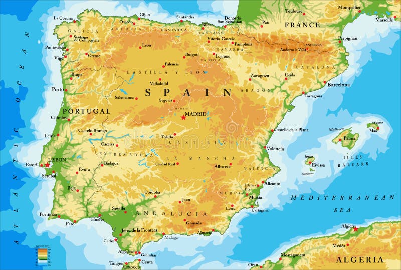
Free with trial Highly detailed physical map of Spain,in vector format,with all the relief forms,regions and big cities. Map vectors Spain physical map. Highly detailed physical map of Spain,in vector format,with all the relief forms,regions and big cities. Highly detailed physical map of Spain,in vector format,with all the relief forms,regions and big cities.
Free with trial An isolated map of the UK and Ireland. Map vectors United Kingdom map. An isolated map of the UK and Ireland. An isolated map of the UK and Ireland.
Free with trial Treasure map. Old fashioned illustration of a childrens treasure island map. Map vectors Treasure map. Old fashioned illustration of a childrens treasure island map
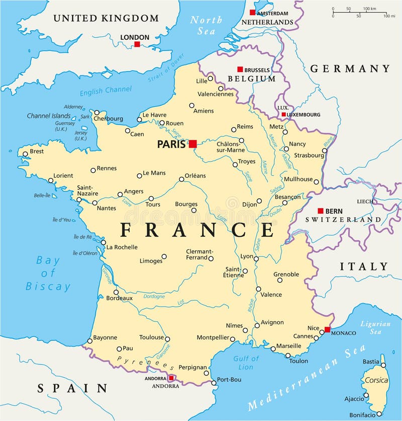
Free with trial France Political Map with capital Paris, national borders, most important cities and rivers. English labeling and scaling. Illustration. Map vectors France Political Map. With capital Paris, national borders, most important cities and rivers. English labeling and scaling. Illustration
Free with trial WORLD MAP IN VECTOR. Map of the world - world vector illustration. Map vectors WORLD MAP IN VECTOR. Map of the world - world vector illustration
Free with trial 3D vector globe map. Stylized 3D vector globe map. Map vectors 3D vector globe map. Stylized 3D vector globe map
Free with trial Vector map icon set. Detailed square icon representing map with markers. Map vectors Vector map icon set. Detailed square icon representing map with markers
Free with trial Illustrated pictorial map of Northwest United States. Includes Washington, Oregon, Idaho, Montana, Wyoming, Nevada and Utah. Vector Illustration. Map vectors Illustrated pictorial map of Northwest United States. Includes Washington, Oregon, Idaho, Montana, Wyoming, Nevada and Utah. Vector Illustration
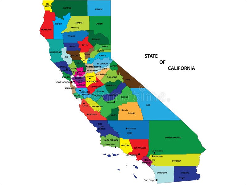
Free with trial California State Map. Vector map of California State by counties. Map vectors California State Map. Vector map of California State by counties
Free with trial Texas Interstate Map. Texas State Interstate and US Highway Map. Map vectors Texas Interstate Map. Texas State Interstate and US Highway Map
Free with trial Israel political map with capital Jerusalem, national borders, important cities, rivers and lakes. English labeling and scaling. Illustration. Map vectors Israel Political Map. With capital Jerusalem, national borders, important cities, rivers and lakes. English labeling and scaling. Illustration
Free with trial Vector illustration - old map background. Map vectors Antique map elements. Vector illustration - old map background. Vector illustration - old map background.
Free with trial Cartoon Map of Italy. With landmarks. Map vectors Cartoon Map of Italy. With landmarks
Free with trial Vector map of Canada. Vector blue canada map on white with territory and regions isolated. Map vectors Vector map of Canada. Vector blue canada map on white with territory and regions isolated
Free with trial Map of Alberta, Canada. Detailed Map of Alberta, Canada with several variations. Map vectors Map of Alberta, Canada. Detailed Map of Alberta, Canada with several variations
Free with trial India map with states. India map with states and boundary VECTOR. Map vectors India map with states. India map with states and boundary VECTOR
Free with trial Turkey map and cities. Turkey map and words cloud with larger cities. Map vectors Turkey map and cities. Turkey map and words cloud with larger cities
Free with trial Isometric map toolkit. Map toolkit with Isometric Buildings and Roads. Map vectors Isometric map toolkit. Map toolkit with Isometric Buildings and Roads
Free with trial Canada map and cities. Canada map and words cloud with larger cities. Map vectors Canada map and cities. Canada map and words cloud with larger cities
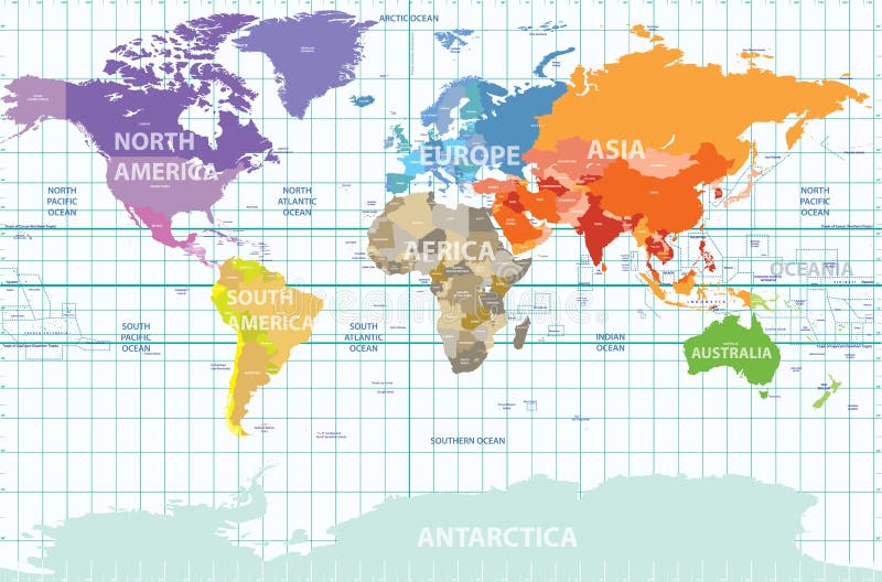
Free with trial Vector political map of the world with all continents separated by color, labeled countries and oceans, and with enumerated longitudes and latitudes on background. Map vectors Political map of the world with all continents separated by color, labeled countries and oceans, and with enumerated longitudes an. Vector political map of the. Vector political map of the world with all continents separated by color, labeled countries and oceans, and with enumerated longitudes and latitudes on background
Free with trial South Korea travel map. Adorable South Korea travel map with colorful attractions. Map vectors South Korea travel map. Adorable South Korea travel map with colorful attractions
Free with trial Highly detailed map of Italy with all different regions selectable individual. Map vectors Political map of Italy. Highly detailed map of Italy with all different regions selectable individual. Highly detailed map of Italy with all different regions selectable individual.
Free with trial Germany map and cities. Germany map and words cloud with larger cities. Map vectors Germany map and cities. Germany map and words cloud with larger cities
Free with trial World map in night sky. Abstract world map on night sky. EPS 10, contains transparency. Map vectors World map in night sky. Abstract world map on night sky. EPS 10, contains transparency
Free with trial Vector Grey Europe Map. Vector illustration of a Grey Europe map with Dark european countries. Map vectors Vector Grey Europe Map. Vector illustration of a Grey Europe map with Dark european countries
Free with trial Illustrated map of the United States of America made up of black silhouettes of people isolated on a white background. Also in vector format. Map vectors USA map made of people. Illustrated map of the United States of America made up of black silhouettes of people isolated on a white background. Also in vector. Illustrated map of the United States of America made up of black silhouettes of people isolated on a white background. Also in vector format.
Free with trial Map of Indonesia. Indonesia Map drawn on Adobe Illustrator. Map vectors Map of Indonesia. Indonesia Map drawn on Adobe Illustrator
Free with trial Grunge, Rustic World Map. A grunge, rustic world map, vector illustration. Map vectors Grunge, Rustic World Map. A grunge, rustic world map, vector illustration
Free with trial State of California map. State of California vector map with counties and main cities. Map vectors State of California map. State of California vector map with counties and main cities
Free with trial Political map of Africa. Agaist white background. Every state is selectable separate. Map vectors Political map of Africa. Agaist white background. Every state is selectable separate
Free with trial South America globe map, with the country in different colors. Map vectors South America globe map. With the country in different colors
Free with trial Global network connection. Big data or global social network connection. Low polygonal World map point and line concept of global business. Vector Illustration. Map vectors Global network connection. Big data or global social network connection. Low polygonal World map concept of global business. Global network connection. Big data. Global network connection. Big data or global social network connection. Low polygonal World map point and line concept of global business. Vector Illustration
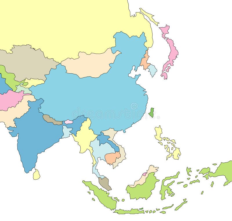
Free with trial Illustrated Map of Asia. Illustration of map of Asia with borders. Map vectors Illustrated Map of Asia. Illustration of map of Asia with borders
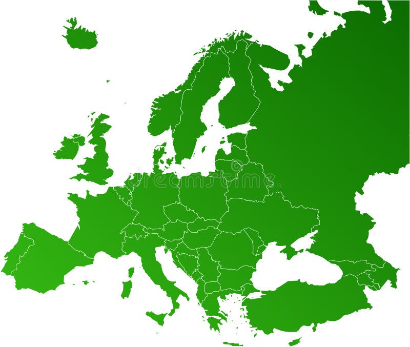
Free with trial Europe map, Vector map - size and color can be changed. Map vectors Europe vector map. Europe map, Vector map - size and color can be changed. Europe map, Vector map - size and color can be changed.
Free with trial GPS Map Location Markers. Vector illustration. Map vectors GPS Map Location Markers. Vector illustration
Free with trial Map of the whole Ireland isolated on white background. Map vectors Map of the whole Ireland. Map of the whole Ireland isolated on white background. Map of the whole Ireland isolated on white background.
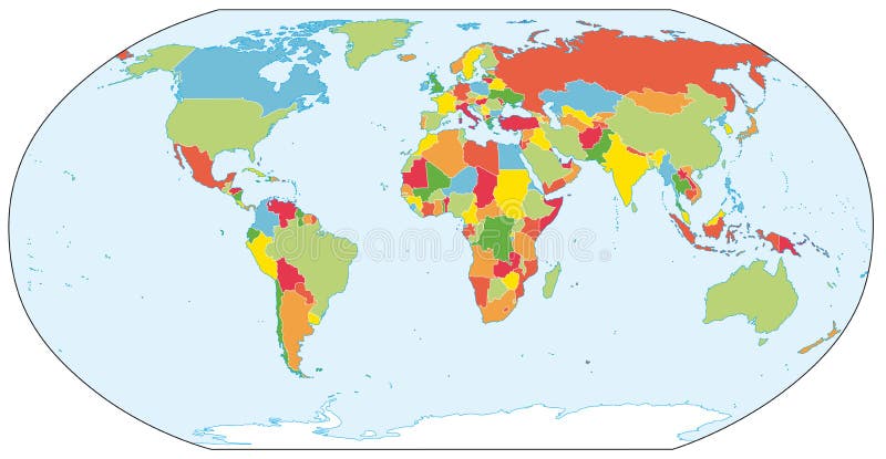
Free with trial Vibrant Colors world map. Vector hi quality world map in vibrant colors. Map vectors Vibrant Colors world map. Vector hi quality world map in vibrant colors
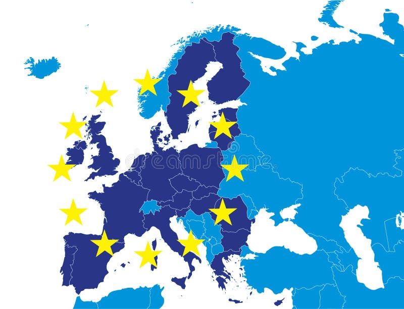
Free with trial European Union members on Europe map marked with different color. Map vectors EU members on Europe map. European Union members on Europe map marked with different color. European Union members on Europe map marked with different color.
Free with trial Detailed World map of brown sepia colors. Names, town marks and national borders are in separate layers. Map vectors Brown detailed World map. Detailed World map of brown sepia colors. Names, town marks and national borders are in separate layers. Detailed World map of brown sepia colors. Names, town marks and national borders are in separate layers.
Free with trial Lovely Taiwan travel map. In flat design style. Map vectors Lovely Taiwan travel map. In flat design style
Free with trial Latin America single states political map. Countries in different colors, with national borders and English country names. From Mexico to the southern tip of South America, including the Caribbean. Map vectors Latin America single states political map. Countries in different colors, with national borders and English country names. From Mexico to the southern tip of
Free with trial Vector map location icon isolated with soft shadow. Element for design ui app website interface. Blank template. Position pin. Map vectors Vector map location icon isolated with soft shadow. Element for design ui app website interface. Blank template. Position pin.
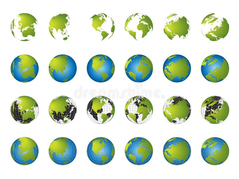
Free with trial World map, 3D globe series, different continents. Map vectors World map, 3D globe series. Different continents
Free with trial World Map black and white. A world map in Black and White 3D. Map vectors World Map black and white. A world map in Black and White 3D
Free with trial United states map in dots, contemporary and modern style. Map vectors United states map in dots. Contemporary and modern style
Free with trial Regions and districts of Czech republic on vector map. Map vectors Czech republic vector map. Regions and districts of Czech republic on vector map. Regions and districts of Czech republic on vector map.
Free with trial Central London Vector Map. Detailed vector map of Central London. Map vectors Central London Vector Map. Detailed vector map of Central London
Free with trial Map Mexico. A map of Mexico showing the different provinces in green tone. Map vectors Map Mexico. A map of Mexico showing the different provinces in green tone
Free with trial Map of USA high detailing. Map vectors Map of usa. High detailing. Map of USA high detailing
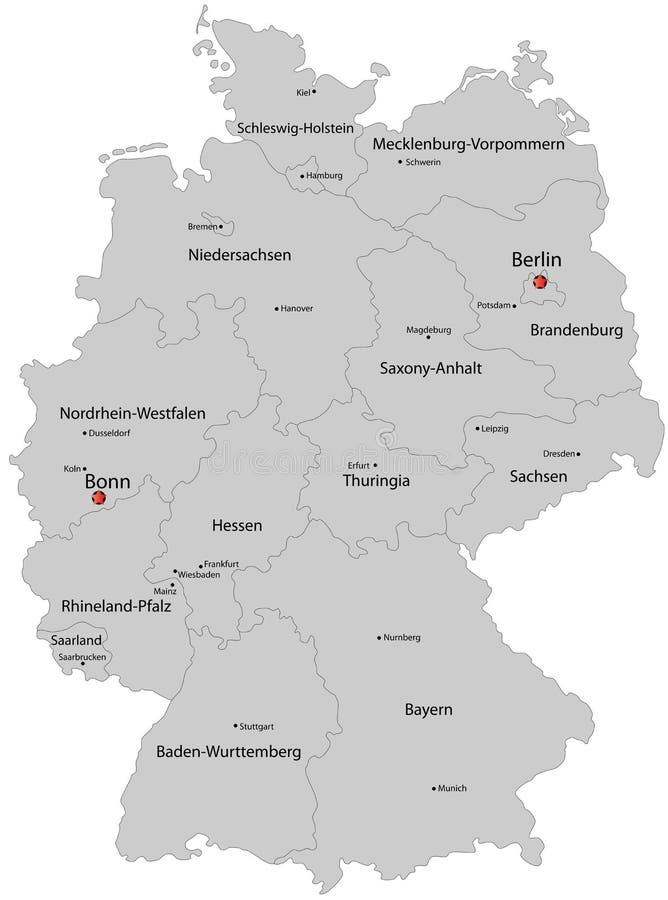
Free with trial Germany map designed in illustration with the regions colored in grey colors and with the main cities. Neighbouring countries are in an additional format (. AI) in the latent layer. Map vectors Map of Germany. Germany map designed in illustration with the regions colored in grey colors and with the main cities. Neighbouring countries are in an. Germany map designed in illustration with the regions colored in grey colors and with the main cities. Neighbouring countries are in an additional format (. AI) in the latent layer.
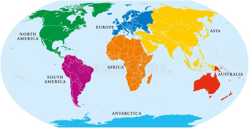
Free with trial Seven continents world map. Asia, Africa, North and South America, Antarctica, Europe and Australia. Detailed map with shorelines and national borders under Robinson projection on white background. Map vectors Seven Continents World Map. Asia, Africa, North and South America, Antarctica, Europe and Australia. Detailed map with shorelines and national borders under
Free with trial Illustrated world political map in vector. Included present political borders. Map vectors Actual world political map. Illustrated world political map in vector. Included present political borders. Illustrated world political map in vector. Included present political borders.
Free with trial High detailed map of Spain. Food, architecture and symbols of Spanish culture. Map vectors High detailed map of Spain. Food, architecture and symbols of Spanish culture
Free with trial This is a world map build from dot shape. Vector shape provided. Map vectors World Map in Dots (Vector). This is a world map build from dot shape. Vector shape provided. This is a world map build from dot shape. Vector shape provided.
Free with trial Multicolored map of Europe. Names, town marks and national borders are in separate layers. Vector illustration. Map vectors Multicolored map of Europe. Names, town marks and national borders are in separate layers. Vector illustration
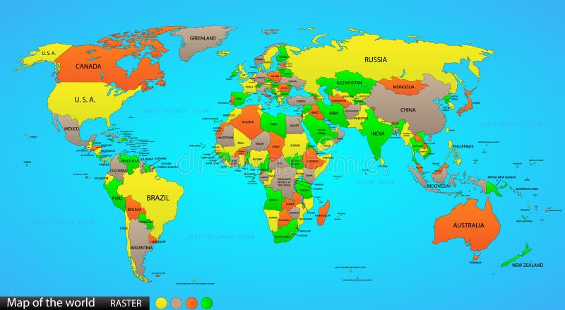
Free with trial Political world map on ocean blue background, with every state labeled and selectable (labeled in Layers panel also). Versatile file, turn on an off visibility and color of each country in one click. Map vectors Political map of the world. Political world map on ocean blue background, with every state labeled and selectable (labeled in Layers panel also). Versatile file. Political world map on ocean blue background, with every state labeled and selectable (labeled in Layers panel also). Versatile file, turn on an off visibility and color of each country in one click.
Free with trial Retro-styled map of the World with trees, volcanos, mountains and fantasy monsters. Vector illustration. Map vectors Colorful ancient World map. Retro-styled map of the World with trees, volcanos, mountains and fantasy monsters. Vector illustration. Retro-styled map of the World with trees, volcanos, mountains and fantasy monsters. Vector illustration.
Free with trial Illustrated world map with coordinates in vector. Included present political borders. Map vectors World map with coordinates. Illustrated world map with coordinates in vector. Included present political borders. Illustrated world map with coordinates in vector. Included present political borders.
Free with trial Vector Geo Map of The City. Color bright decorative background EPS-8 illustration. Map vectors Vector Geo Map of The City. Color bright decorative background EPS-8 illustration
Free with trial Russian regions vector map. Vector political map of Russia with districts on white background. Map vectors Russian regions vector map. Vector political map of Russia with districts on white background
Free with trial Illustrated map of London boroughs. Map vectors Map of the London boroughs. Illustrated map of London boroughs. Illustrated map of London boroughs.
Free with trial Colorful schematic map of subway lines. Vector available. Map vectors Subway schematic map. Colorful schematic map of subway lines. Vector available. Colorful schematic map of subway lines. Vector available.
Free with trial Detailed vector World map with colorful continents and flat map pointers. Map vectors Detailed vector World map with colorful continents and flat map. Pointers
Free with trial Colorful schematic map of subway lines. Vector available. Map vectors Subway schematic map. Colorful schematic map of subway lines. Vector available. Colorful schematic map of subway lines. Vector available.
Free with trial Detailed political world map with capitals, rivers and lakes. Vector illustration. Map vectors Detailed political world map with capitals, rivers and lakes. Vector illustration
Free with trial Bulgaria map designed in illustration with provinces colored in green colors and with the main cities. Neighbouring countries are in an additional format (. AI) in the latent layer. Map vectors Map of Bulgaria. Bulgaria map designed in illustration with provinces colored in green colors and with the main cities. Neighbouring countries are in an. Bulgaria map designed in illustration with provinces colored in green colors and with the main cities. Neighbouring countries are in an additional format (.AI) in the latent layer.
Free with trial Pennsylvania state road map with Interstates and U. S. Highways. All elements on 4 separate layers (State Fill, State Outline, Roads, Cities) for easy editing. Source: Public domain National Planning Network ( and United States Federal Highway Administration. Map vectors Pennsylvania Interstate Map. Pennsylvania state road map with Interstates and U.S. Highways. All elements on 4 separate layers (State Fill, State Outline. Pennsylvania state road map with Interstates and U.S. Highways. All elements on 4 separate layers (State Fill, State Outline, Roads, Cities) for easy editing. Source: Public domain National Planning Network ( and United States Federal Highway Administration
Free with trial Concept of abstract street map with navigational elements and symbol. Flat design style modern vector illustration. Isolated on stylish background. Map vectors Route map flat illustration. Concept of abstract street map with navigational elements and symbol. Flat design style modern vector illustration. Isolated on. Concept of abstract street map with navigational elements and symbol. Flat design style modern vector illustration. Isolated on stylish background.
Free with trial Vector World Map Watercolor. World Map Watercolor, Vector illustration design. Map vectors Vector World Map Watercolor. World Map Watercolor, Vector illustration design
Free with trial A set of banners created by a colored strip with the silhouette of the world map and a globe illustration. Map vectors Globe and world map banners. A set of banners created by a colored strip with the silhouette of the world map and a globe illustration. A set of banners created by a colored strip with the silhouette of the world map and a globe illustration.
Free with trial Vector poster map city Rome. Detailed city map, vector map Rome for printing posters. Map vectors Vector poster map city Rome. Detailed city map, vector map Rome for printing posters
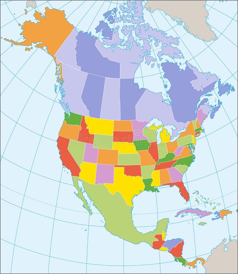
Free with trial Political map of North America with coordinates, present states borders, detailed vector map. Map vectors North America political map. Political map of North America with coordinates, present states borders, detailed vector map. Political map of North America with coordinates, present states borders, detailed vector map.
 Sign in