Free with trial Vector map of greenland. Black vector map of greenland. Map vectors Vector map of greenland. Black vector map of greenland
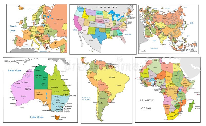
Free with trial Political map of continents. Political map of all continents on the world. Map vectors Political map of continents. Political map of all continents on the world
Free with trial Map of central america. Drawn on adobe illustrator. Map vectors Map of central america. Drawn on adobe illustrator
Free with trial Kenya map and cities. Map of Kenya and text design with major cities. Map vectors Kenya map and cities. Map of Kenya and text design with major cities
Free with trial Europe map. Europe vector map with the designated borders and the signed countries (. eps file - High resolution. Map vectors Europe map. Europe vector map with the designated borders and the signed countries (.eps file - High resolution
Free with trial Old map vector. Old map with compass design. Map vectors Old map vector. Old map with compass design
Free with trial Rainbow world map highly detailed vector. Highly detailed world map with rainbow gradient isolated background goes with. ai file. Map vectors Rainbow world map highly detailed vector. Highly detailed world map with rainbow gradient isolated background goes with .ai file
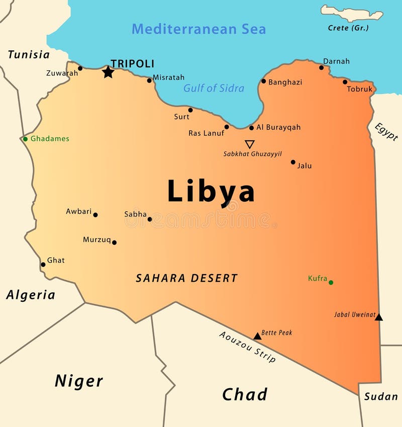
Free with trial Libya map. Illustration of a detailed political map of Libya, with its cities, mountains, oasis and desert. Map vectors Libya map. Illustration of a detailed political map of Libya, with its cities, mountains, oasis and desert
Free with trial Tree shaped world map. Isolated on white background vector. Map vectors Tree shaped world map. Isolated on white background vector
Free with trial Europe map with landmarks. Vector illustration of european map with silhouettes of most visited landmarks upon it. Map vectors Europe map with landmarks. Vector illustration of european map with silhouettes of most visited landmarks upon it
Free with trial An abstract background illustration with map of Pangaea. Map vectors Background map of Pangaea. An abstract background illustration with map of Pangaea. An abstract background illustration with map of Pangaea.
Free with trial South Korea map. Color map of South Korea with regions on a white background. Map vectors South Korea map. Color map of South Korea with regions on a white background
Free with trial Illustration of a detailed political map of Bosnia. Map vectors Bosnia map. Illustration of a detailed political map of Bosnia. Illustration of a detailed political map of Bosnia.
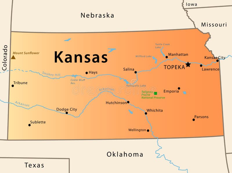
Free with trial Kansas map. Illustration of the map of Kansas, USA. The brown Triangle indicates the highest mountain, while the green square the National Park. Map vectors Kansas map. Illustration of the map of Kansas, USA. The brown Triangle indicates the highest mountain, while the green square the National Park
Free with trial Blue United States Map. Map of the United States with simplified, stylized state borders and capitals. Map vectors Blue United States Map. Map of the United States with simplified, stylized state borders and capitals
Free with trial Illustration of a detailed political map of Belarus. Map vectors Belarus map. Illustration of a detailed political map of Belarus. Illustration of a detailed political map of Belarus.
Free with trial Political map of Africa. Vector illustration of Political map of Africa. Map vectors Political map of Africa. Vector illustration of Political map of Africa
Free with trial River in forest, map aerial top view, valley water stream landscape, vector background. Forest park or canyon with river wave flowing between hills with grass, nature scene of garden terrain. Map vectors River top view landscape above forest, aerial map. River in forest, map aerial top view, valley water stream landscape, vector background. Forest park or canyon. River in forest, map aerial top view, valley water stream landscape, vector background. Forest park or canyon with river wave flowing between hills with grass, nature scene of garden terrain
Free with trial Saudi Arabia political map with capital Riyadh, national borders and important cities. English labeling and scaling. Illustration. Map vectors Saudi Arabia Political Map. With capital Riyadh, national borders and important cities. English labeling and scaling. Illustration
Free with trial Ohio counties map also showing major cities. Counties and cities are labeled. Map vectors Ohio Counties Map. Also showing major cities. Counties and cities are labeled
Free with trial Global Networks, digital connections around the world map. Illustration. Map vectors Global Networks, digital connections around the world map. Illustration
Free with trial Nebraska map. Illustrated design of the map of Nebraska (USA), including counties and county seats. Isolated against a white background. Map vectors Nebraska map. Illustrated design of the map of Nebraska (USA), including counties and county seats. Isolated against a white background
Free with trial Road Physical Map of USA with roads, railroads, water objects, cities and capitals. Map vectors Road Physical Map of USA. With roads, railroads, water objects, cities and capitals
Free with trial Hand drawn map of Europe. With selected capitals and landmarks, vintage style. Map vectors Hand drawn map of Europe. With selected capitals and landmarks, vintage style
Free with trial Political map of Eurasia, vector illustration. Map vectors Political map of Eurasia. Vector illustration
Free with trial Illustrated map of China. Vector illustration for kid and children. Chinese travel landmarks. Asian abstract map. Map vectors Illustrated map of China. Vector illustration for kid and children. Chinese travel landmarks. Asian abstract map
Free with trial Illustration of a detailed political map of Cape Verde, with its islands, mountains and volcanos. Map vectors Cape Verde map. Illustration of a detailed political map of Cape Verde, with its islands, mountains and volcanos. Illustration of a detailed political map of Cape Verde, with its islands, mountains and volcanos.
Free with trial Illustrated design of the map of Hong Kong. Isolated against a white background. Map vectors Hong Kong map. Illustrated design of the map of Hong Kong. Isolated against a white background. Illustrated design of the map of Hong Kong. Isolated against a white background.
Free with trial Abstract blue facet world map vector. Business theme. Map vectors Abstract world map vector. Abstract blue facet world map vector. Business theme. Abstract blue facet world map vector. Business theme.
Free with trial North America Physical Map. Vector illustration. Map vectors North America Physical Map. Vector illustration
Free with trial Vatican city political map. City state in Rome, Italy with national borders, important buildings, sights and gardens. English labeling and scaling. Illustration. Map vectors Vatican City Political Map. City state in Rome, Italy with national borders, important buildings, sights and gardens. English labeling and scaling
Free with trial Romania map. Highly detailed vector map of Romania with administrative regions, main cities and roads. Map vectors Romania map. Highly detailed vector map of Romania with administrative regions, main cities and roads
Free with trial Arctic region political map with countries, capitals, national borders, important cities, rivers and lakes. Arctic Ocean with average minimum extent of sea ice. English labeling and scaling. Map vectors Arctic Region Political Map. With countries, capitals, national borders, important cities, rivers and lakes. Arctic Ocean with average minimum extent of sea ice. Arctic region political map with countries, capitals, national borders, important cities, rivers and lakes. Arctic Ocean with average minimum extent of sea ice. English labeling and scaling.
Free with trial Extra detailed map of the world. Vector. Map vectors Extra detailed map of the world. Vector
Free with trial Vector illustration as silhouette of the most famous and visited landmarks and buildings in the united states of america, all located over the map of the state upon their city. Map vectors United states map with landmarks. Vector illustration as silhouette of the most famous and visited landmarks and buildings in the united states of america, all. Vector illustration as silhouette of the most famous and visited landmarks and buildings in the united states of america, all located over the map of the state upon their city
Free with trial Illustration of the world map on old, yellowed paper. Map vectors World map on old paper. Illustration of the world map on old, yellowed paper. Illustration of the world map on old, yellowed paper.
Free with trial Vector poster map city Lisbon. Detailed city map, vector map Lisbon for poster printing. Map vectors Vector poster map city Lisbon. Detailed city map, vector map Lisbon for poster printing
Free with trial Vector illustration as area map and land shape of manhattan in central new york city with central park and notable places as empire state building, china town, brooklyn bridge, rockefeller center, liberty statue and ground zero. Map vectors Manhattan area map with landmarks. Vector illustration as area map and land shape of manhattan in central new york city with central park and notable places as. Vector illustration as area map and land shape of manhattan in central new york city with central park and notable places as empire state building, china town, brooklyn bridge, rockefeller center, liberty statue and ground zero
Free with trial El Salvador map designed in illustration with the regions colored in green and with the main cities. Map vectors Map of El Salvador. El Salvador map designed in illustration with the regions colored in green and with the main cities. El Salvador map designed in illustration with the regions colored in green and with the main cities.
Free with trial Hand drawn map of Morocco and Western Sahara with the capitals Rabat and El Aiun, with national borders, most important cities, rivers and lakes. Vector illustration with english labeling and scale. Map vectors Morocco And Western Sahara Map. Hand drawn map of Morocco and Western Sahara with the capitals Rabat and El Aiun, with national borders, most important cities. Hand drawn map of Morocco and Western Sahara with the capitals Rabat and El Aiun, with national borders, most important cities, rivers and lakes. Vector illustration with english labeling and scale.
Free with trial Alaska State Map Vector silhouette. Vector map of Alaska state black silhouette. north america vector format aviable. Map vectors Alaska State Map Vector silhouette. Vector map of Alaska state black silhouette. north america vector format aviable
Free with trial Navigation map infographic 9 steps timeline concept. Winding roa. D. Vector illustration. Map vectors Navigation map infographic 9 steps timeline concept. Winding roa. D. Vector illustration
Free with trial Map of Oregon state designed in illustration with the counties. (Map is hight resolution). Map vectors Map of Oregon state. Designed in illustration with the counties. (Map is hight resolution
Free with trial Antique map elements collection. Antique map elements isolated on light background. Map vectors Antique map elements collection. Antique map elements isolated on light background
Free with trial Highly detailed physical map of Japan,in vector format,with all the relief forms,regions and big cities. Map vectors Japan relief map. Highly detailed physical map of Japan,in vector format,with all the relief forms,regions and big cities. Highly detailed physical map of Japan,in vector format,with all the relief forms,regions and big cities.
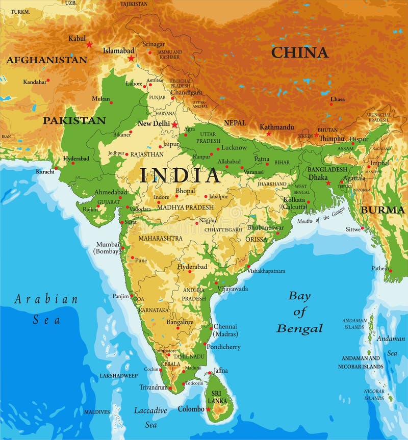
Free with trial Highly detailed physical map of India,in vector format,with all the relief forms,regions and big cities. Map vectors India-relief map. Highly detailed physical map of India,in vector format,with all the relief forms,regions and big cities. Highly detailed physical map of India,in vector format,with all the relief forms,regions and big cities.
Free with trial Abstract topographical green map. With no names, vector. Map vectors Abstract topographical green map. With no names, vector
Free with trial Topographic Map Seamless Pattern. Vector Background. Map vectors Topographic Map Seamless Pattern. Vector Background
Free with trial Austria map designed in illustration with the regions colored in bright colors and with the main cities. Neighbouring countries are in an additional format (. AI) in the latent layer. Map vectors Vector map of Austria. Austria map designed in illustration with the regions colored in bright colors and with the main cities. Neighbouring countries are in an. Austria map designed in illustration with the regions colored in bright colors and with the main cities. Neighbouring countries are in an additional format (.AI) in the latent layer.
Free with trial Street map of town. Seamless texture of a Street map of town with grey roads on white background. Map vectors Street map of town. Seamless texture of a Street map of town with grey roads on white background
Free with trial Italy Physical Map– highly detailed vector illustration. Image contains layers with shaded contours, land names, city names, water objects and it`s names, highways. Map vectors Italy Physical Map. – highly detailed vector illustration. Image contains layers with shaded contours, land names, city names, water objects and it`s names
Free with trial Florida political map with capital Tallahassee. State in the southeastern region of the United States, bordered by the Gulf of Mexico. Gray illustration on white background. English labeling. Vector. Map vectors Florida United States political map. Florida political map with capital Tallahassee. State in the southeastern region of the United States, bordered by the Gulf. Florida political map with capital Tallahassee. State in the southeastern region of the United States, bordered by the Gulf of Mexico. Gray illustration on white background. English labeling. Vector.
Free with trial Detailed retro political World Map. Highly detailed vector illustration of World Map. Map vectors Detailed retro political World Map. Highly detailed vector illustration of World Map
Free with trial Business world map wave background. In blue color. Map vectors Business world map wave background. In blue color
Free with trial Africa vintage detailed map print poster design. Vector illustration. Map vectors Africa vintage detailed map print poster design. Vector illustration.
Free with trial Highly detailed physical map of Europe, in vector format, with all the relief forms, countries and big cities. Map vectors Europe - physical map. Highly detailed physical map of Europe, in vector format, with all the relief forms, countries and big cities. Highly detailed physical map of Europe, in vector format, with all the relief forms, countries and big cities.
Free with trial Map icon. Vector image of a location map icon. Search pointer on navigation icon isolated on white. Line symbol location map marker. Map vectors Map icon. Vector image of a location map icon. Search pointer on navigation icon isolated on white. Line symbol location map marker
Free with trial Floral world map for coloring books. Hand drawn flowers and butterflies forming a simplified world map in black and white. Map vectors Floral world map for coloring books. Hand drawn flowers and butterflies forming a simplified world map in black and white
Free with trial Message Containers and map pointers. Message Containers and map location pointers in different colors. Map vectors Message Containers and map pointers. Message Containers and map location pointers in different colors
Free with trial Map icon. Detailed illustration of a map and a clip. Map vectors Map icon. Detailed illustration of a map and a clip
Free with trial Denmark political map with capital Copenhagen and neighbor countries. Kingdom, Scandinavian and Nordic country in Europe. Gray illustration with English labeling on white background. Vector. Map vectors Denmark political map. With capital Copenhagen and neighbor countries. Kingdom, Scandinavian and Nordic country in Europe. Gray illustration with English. Denmark political map with capital Copenhagen and neighbor countries. Kingdom, Scandinavian and Nordic country in Europe. Gray illustration with English labeling on white background. Vector.
Free with trial Map. Illustration of isolated a map on white background. Map vectors Map. Illustration of isolated a map on white background
Free with trial A cartoon pirate boy holding a treasure map with sabre, peg leg and a eye patch, on white background. Eps file available. Map vectors Pirate with Treasure Map. A cartoon pirate boy holding a treasure map with sabre, peg leg and a eye patch, on white background. Eps file available. A cartoon pirate boy holding a treasure map with sabre, peg leg and a eye patch, on white background. Eps file available.
Free with trial Spain map with provinces. Vector map of spain with borders for regions and provinces, canary islands and balearic islands. Map vectors Spain map with provinces. Vector map of spain with borders for regions and provinces, canary islands and balearic islands
Free with trial World Map - Van der Grinten Projection. A colored vector world map in Van der Grintens projection, showing longitudes and latitudes. Map vectors World Map - Van der Grinten Projection. A colored vector world map in Van der Grintens projection, showing longitudes and latitudes
Free with trial Simplified Vector Map of The City 2. Decorative background illustration EPS-8. Map vectors Simplified Vector Map of The City II. Simplified Vector Map of The City 2. Decorative background illustration EPS-8. Simplified Vector Map of The City 2. Decorative background illustration EPS-8.
Free with trial Qatar map designed in illustration with the regions colored in bright colors and with the main cities. Map vectors Qatar map. Designed in illustration with the regions colored in bright colors and with the main cities
Free with trial China map. Black map of China with regions, borders and names. Map vectors China map. Black map of China with regions, borders and names
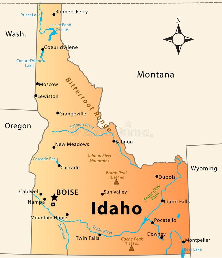
Free with trial Idaho Map. Illustration of the map of the Great State of Idaho, USA. Featuring its main cities, rivers, lakes and the highest peak of the state. Map vectors Idaho Map. Illustration of the map of the Great State of Idaho, USA. Featuring its main cities, rivers, lakes and the highest peak of the state
Free with trial Map of South Dakota state designed in illustration with the counties and the county seats. (Map is hight resolution). Map vectors Map of South Dakota state. Designed in illustration with the counties and the county seats. (Map is hight resolution
Free with trial Detailed vector poster city map Milan, illustration for design. Map vectors Detailed vector poster city map Milan. Illustration for design
Free with trial Phillipines map. Map of the Phillipines drawn on Adobe Illustrator. Map vectors Phillipines map. Map of the Phillipines drawn on Adobe Illustrator
Free with trial Vector for isometric map (park). Cartoon isometric map best for park. Map vectors Vector for isometric map (park). Cartoon isometric map best for park
Free with trial Map Markers. Set of map markers on white background. Map vectors Map Markers. Set of map markers on white background
Free with trial South Korea travel map. In flat design - Bulguksa word in Chinese on the temple. Map vectors South Korea travel map. In flat design - Bulguksa word in Chinese on the temple
Free with trial Iran Map - Vector Illustration Design Element. Map vectors IRAN MAP. Vector Illustration Design Element. Iran Map - Vector Illustration Design Element
Free with trial Detailed vector poster city map Madrid, illustration for design. Map vectors Detailed vector poster city map Madrid. Illustration for design
Free with trial Detailed vector poster city map Prague, illustration for design. Map vectors Detailed vector poster city map Prague. Illustration for design
Free with trial Detailed vector poster city map Vienna. For design. Map vectors Detailed vector poster city map Vienna. For design
 Sign in