Free with trial Spain map. Colour Spain map with names of regions on a white background. Map vectors Spain map. Colour Spain map with names of regions on a white background
Free with trial World Map. Map of the world - world vector illustration - vector world map. Map vectors World Map. Map of the world - world vector illustration - vector world map
Free with trial USA map. Colored USA map isolated on white background. Map vectors USA map. Colored USA map isolated on white background
Free with trial United States of America Political Map with capital Washington, national borders, most important cities, rivers and lakes. With single states, their borders and capitals, except Hawaii and Alaska. English labeling and scaling. Map vectors United States of America Political Map. With capital Washington, national borders, most important cities, rivers and lakes. With single states, their borders. United States of America Political Map with capital Washington, national borders, most important cities, rivers and lakes. With single states, their borders and capitals, except Hawaii and Alaska. English labeling and scaling.
Free with trial Austria map of Slovakia with regions borders. Names of the regions, main cities, and neighbouring countries are in an additional format (. AI) in the latent layer. Map vectors Austria map. Of Slovakia with regions borders. Names of the regions, main cities, and neighbouring countries are in an additional format (.AI) in the latent
Free with trial Dotted world map vector. Dotted world map,black dots land and gray dots ocean, full frame pattern,vector and illustration. Map vectors Dotted world map vector. Dotted world map,black dots land and gray dots ocean, full frame pattern,vector and illustration
Free with trial Fruit world map, Eurasia. Vector illustration. Map vectors Fruit world map, Eurasia. Vector illustration
Free with trial Realistic Topographic map of an area west of Austin, Texas. Vector map is layered with isolines, rivers, bodies of water and background on different layers. Map vectors Colored Topographic map. Realistic Topographic map of an area west of Austin, Texas. Vector map is layered with isolines, rivers, bodies of water and background. Realistic Topographic map of an area west of Austin, Texas. Vector map is layered with isolines, rivers, bodies of water and background on different layers.
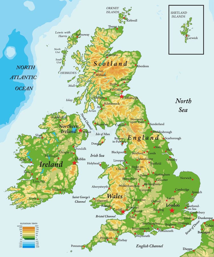
Free with trial Highly detailed physical map of United Kingdom and Ireland,in vector format,with all the relief forms,states and big cities. Map vectors United Kingdom and Ireland-physical map. Highly detailed physical map of United Kingdom and Ireland,in vector format,with all the relief forms,states and big. Highly detailed physical map of United Kingdom and Ireland,in vector format,with all the relief forms,states and big cities.
Free with trial World map with countries. Vector illustration. Map vectors Greyscale World map on black background. World map with countries. Vector illustration. World map with countries. Vector illustration.
Free with trial Map of costa rica. Costa rica map drawn on illustrator. Map vectors Map of costa rica. Costa rica map drawn on illustrator
Free with trial Map of Japan with Russia, China, South and the North Korea. Borders of the countries are shown by red colour. High resolution. Map vectors Map of Japan. With Russia, China, South and the North Korea. Borders of the countries are shown by red colour. High resolution
Free with trial USA Map. USA / United States of America map vector. Map vectors USA Map. USA / United States of America map vector
Free with trial USA map. A vector USA map with all the states in easily editable separate layers. EPS8 file added. Map vectors USA map. A vector USA map with all the states in easily editable separate layers.EPS8 file added
Free with trial Map USA. United of America Map with acronym names States. Map vectors Map USA. United of America Map with acronym names States
Free with trial Old map. Vector illustration - old map background. Map vectors Old map. Vector illustration - old map background
Free with trial GPS map, computer illustration on a white background. Map vectors GPS map. Computer illustration on a white background
Free with trial Old map. Old pirate map with anchor and ribbon. Map vectors Old map. Old pirate map with anchor and ribbon
Free with trial Vector political USA map. In greyscale colors on a white background. Map vectors Vector political USA map. In greyscale colors on a white background
Free with trial Africa map outline of states. Geographic map of the continent with borders of states, related to education, travel, vector file available. Map vectors Africa map outline of states. Geographic map of the continent with borders of states, related to education, travel, vector file available
Free with trial Detailed vector poster city map Budapest. Design of a poster for interior decoration. Map vectors Detailed vector poster city map Budapest. Design of a poster for interior decoration
Free with trial White and grey vector city map of London. Cleverly organized with layers. Map vectors White and grey vector city map of London. Cleverly organized with layers
Free with trial Political map of Peru with capital Lima, national borders, most important cities, rivers and lakes. Vector illustration with English labeling and scaling. Map vectors Peru Political Map. Political map of Peru with capital Lima, national borders, most important cities, rivers and lakes. Vector illustration with English labeling. Political map of Peru with capital Lima, national borders, most important cities, rivers and lakes. Vector illustration with English labeling and scaling.
Free with trial World map. Geometric world map in black and white. Map vectors World map. Geometric world map in black and white
Free with trial Hand drawn map of Italy with the capital Rome, the Vatican and San Marino, national borders, most important cities, rivers and lakes. Vector illustration with english labeling and scale. Map vectors Italy Map. Hand drawn map of Italy with the capital Rome, the Vatican and San Marino, national borders, most important cities, rivers and lakes. Vector. Hand drawn map of Italy with the capital Rome, the Vatican and San Marino, national borders, most important cities, rivers and lakes. Vector illustration with english labeling and scale.
Free with trial City map. Vector city map with no names. Map vectors City map. Vector city map with no names
Free with trial Road map, computer illustration on a white background. Map vectors Road map. Computer illustration on a white background
Free with trial Map icon. Navigation icon with map and purple pin. Bitmap picture with additional vector file. Vector file in EPS10 with one transparent path. Map vectors Map icon. Navigation icon with map and purple pin. Bitmap picture with additional vector file. Vector file in EPS10 with one transparent path
Free with trial City Map. A city map showing roads and buildings. Map vectors City Map. A city map showing roads and buildings
Free with trial Cuba map. Color map of Cuba with regions on a white background. Map vectors Cuba map. Color map of Cuba with regions on a white background
Free with trial Land map. Editable vector illustration of a generic street map and green hills. Map vectors Land map. Editable vector illustration of a generic street map and green hills
Free with trial City map. Vector city map with no names. Map vectors City map. Vector city map with no names
Free with trial Town map. Editable vector illustration of a detailed generic street map without names. Map vectors Town map. Editable vector illustration of a detailed generic street map without names
Free with trial City map. Abstract vector city map design. Map vectors City map. Abstract vector city map design
Free with trial A stylized map of Cuba showing the different provinces. Map vectors Map Cuba. A stylized map of Cuba showing the different provinces. A stylized map of Cuba showing the different provinces.
Free with trial City map. Vector illustration of abstract city map with no names. Map vectors City map. Vector illustration of abstract city map with no names
Free with trial Road Map, computer illustration, isolated on the white. Map vectors Road Map. Computer illustration, isolated on the white
Free with trial City map. Vector city map with no names. Map vectors City map. Vector city map with no names
Free with trial City map. Editable illustration of a nameless street map from an angled perspective. Map vectors City map. Editable illustration of a nameless street map from an angled perspective
Free with trial City map. Vector illustration of city map with no names. Map vectors City map. Vector illustration of city map with no names
Free with trial City Map. A city map showing roads and buildings. Map vectors City Map. A city map showing roads and buildings
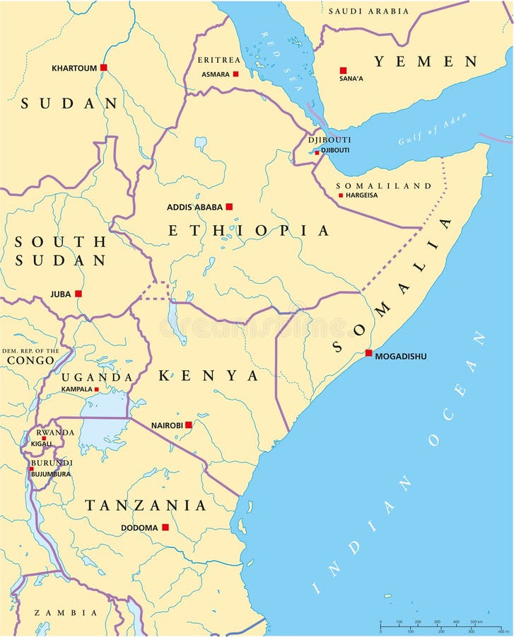
Free with trial Political map of East Africa with capitals, national borders, rivers and lakes. With english labeling and scale. Map vectors East Africa Political Map. Political map of East Africa with capitals, national borders, rivers and lakes. With english labeling and scale. Political map of East Africa with capitals, national borders, rivers and lakes. With english labeling and scale.
Free with trial Old retro World Map with lakes and rivers. Highly detailed vector illustration of large political World Map. Map vectors Old retro World Map with lakes and rivers. Highly detailed vector illustration of large political World Map
Free with trial Flat City park zone infographic template with pointers in percent number vector illustration. People walking, running, gardening. ROAD-MAP infographics concept. Map vectors Flat ROAD MAP infographics pointer people. Flat City park zone infographic template with pointers in percent number vector illustration. People walking, running. Flat City park zone infographic template with pointers in percent number vector illustration. People walking, running, gardening. ROAD-MAP infographics concept.
Free with trial Political map of Japan, North Korea and South Korea with the capitals Tokyo, Pyongyang and Seoul, with national borders, some important cities, with rivers and lakes. Vector illustration with english labeling and scale. Map vectors Japan, North Korea And South Korea Political Map. Political map of Japan, North Korea and South Korea with the capitals Tokyo, Pyongyang and Seoul, with national. Political map of Japan, North Korea and South Korea with the capitals Tokyo, Pyongyang and Seoul, with national borders, some important cities, with rivers and lakes. Vector illustration with english labeling and scale.
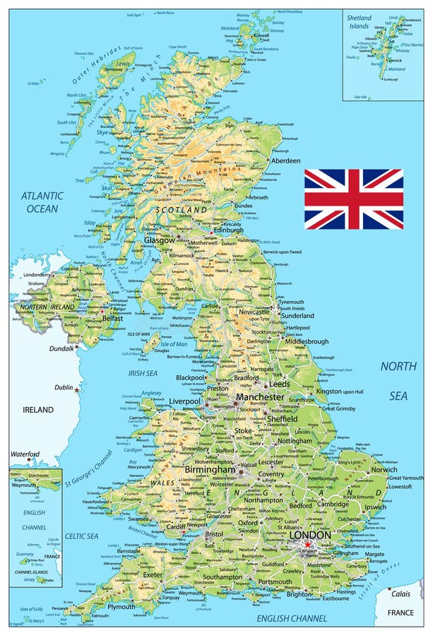
Free with trial United Kingdom physical map. Vector illustration. Map vectors United Kingdom physical map. Vector illustration
Free with trial Map of Somalia. Somalia map designed in illustration with the regions and provinces with the main cities. (Map is in high resolution. Map vectors Map of Somalia. Somalia map designed in illustration with the regions and provinces with the main cities. (Map is in high resolution
Free with trial Highly detailed hand drawn world map. Grouped and easy to edit. Map vectors World map. Highly detailed hand drawn world map. Grouped and easy to edit. Highly detailed hand drawn world map. Grouped and easy to edit.
Free with trial World map. The contours of the country consists of the words. Map vectors World map. The contours of the country consists of the words
Free with trial Brain Map. An illustration of a human brain made up from a map. Vector illustration. Map vectors Brain Map. An illustration of a human brain made up from a map. Vector illustration
Free with trial World map. Map of the world. World map illustration. Map vectors WORLD MAP. Map of the world. illustration. World map. Map of the world. World map illustration. World map
Free with trial World map. The contours of the country consists of the words. Map vectors World map. The contours of the country consists of the words
Free with trial Grunge and dirty world map vector file on white. Map vectors World map. Grunge and dirty world map vector file on white. Grunge and dirty world map vector file on white.
Free with trial Map of world - blue toned (vector, illustration). Map vectors World map. Map of world - blue toned (vector, illustration. Map of world - blue toned (vector, illustration)
Free with trial U. S. A map. Color U. A map with states over white. Map vectors U.S.A map. Color U.S.A map with states over white
Free with trial Earth map. 3d earth map from four views; illustration. Map vectors Earth map. 3d earth map from four views; illustration
Free with trial World map. Original hand made world map. consist of lines. Map vectors World map. Original hand made world map. consist of lines
Free with trial World map. Made out of with stars of different sizes and brightness, all continents and ocean, has layers, to easy edit. Map vectors World map. Made out of with stars of different sizes and brightness, all continents and ocean, has layers, to easy edit
Free with trial Haiti map. Color Haiti map with regions on a white background. Map vectors Haiti map. Color Haiti map with regions on a white background
Free with trial World map. Isolated abstract world-wide map, made from small circles. Map vectors World map. Isolated abstract world-wide map, made from small circles
Free with trial Map Crete. A stylized map of the greek island crete showing different cities. Vector file also available. Map vectors Map Crete. A stylized map of the greek island crete showing different cities. Vector file also available
Free with trial World map. High resolution grunge world map. Map vectors World map. High resolution grunge world map
Free with trial Brain Map. An illustration of a human brain made up from a map. Vector illustration. Map vectors Brain Map. An illustration of a human brain made up from a map. Vector illustration
Free with trial Multicolored world map. Vector illustration. Map vectors World map. Multicolored world map. Vector illustration. Multicolored world map. Vector illustration.
Free with trial Chile map. Color Chile map with regions on a white background. Map vectors Chile map. Color Chile map with regions on a white background
Free with trial World Map. Vector World Map. For you design. Map vectors World Map. Vector World Map. For you design
Free with trial World map. Political map of the world. Map vectors World map. Political map of the world
Free with trial Large map. PWorld map in a large display on a dark background, conceptual business illustration. The base map is from Central Intelligence Agency Web site. Map vectors Large map. PWorld map in a large display on a dark background, conceptual business illustration. The base map is from Central Intelligence Agency Web site
Free with trial World Map. Template for various design. Map vectors World Map. Template for various design
Free with trial City map Miami, travel vector poster design. Design of a poster for interior decoration. Map vectors City map Miami, travel vector poster design. Design of a poster for interior decoration
Free with trial Celestial Map of The Night Sky. Astronomical Chart of Northern Hemisphere (Dark Blueprint version EPS-8). Map vectors Celestial Map of The Night Sky (Blueprint). Celestial Map of The Night Sky. Astronomical Chart of Northern Hemisphere (Dark Blueprint version EPS-8. Celestial Map of The Night Sky. Astronomical Chart of Northern Hemisphere (Dark Blueprint version EPS-8)
Free with trial Colored political map of the European continent. Map vectors Europe Political Map. Colored political map of the European continent. Colored political map of the European continent.
 Sign in