Free with trial Vector Illustrated map of the world with a textured background and watercolor spots. Grunge background. Map vectors Illustrated map of the world with a textured background and watercolor spots. Grunge background. vector. Vector Illustrated map of the world with a textured. Vector Illustrated map of the world with a textured background and watercolor spots. Grunge background.
Free with trial Simple map pin flat icon, pointer minimal vector symbol, marker sign. Map vectors Map pin flat design style modern icon. Simple red pointer minimal vector symbol. Marker sign. Simple map pin flat icon, pointer minimal vector symbol, marker. Simple map pin flat icon, pointer minimal vector symbol, marker sign
Free with trial Global network mesh. Earth map. Global network mesh Social communications background. Vector illustration. r. Map vectors Global network mesh. Earth map. Global network mesh Social communications background. Earth map. Vector illustration. r
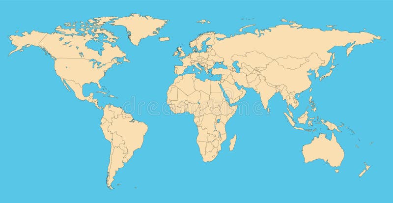
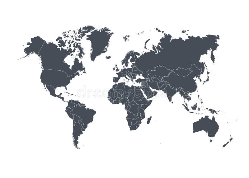
Free with trial World map with countries borders. Worldmap background for reports and infographics. Map vectors World map with countries borders. Worldmap background for reports and infographics
Free with trial Animals world map, Africa. Beautiful cheerful colorful vector illustration for children and kids. With the inscription of the oceans and continents. Preschool, baby, continents, oceans, drawn, Earth. Map vectors Animals world map, Africa. Beautiful cheerful colorful vector illustration for children and kids. With the inscription of the ocea. Ns and continents. Preschool. Animals world map, Africa. Beautiful cheerful colorful vector illustration for children and kids. With the inscription of the oceans and continents. Preschool, baby, continents, oceans, drawn, Earth
Free with trial Map of Spain with touristic landmarks or sights and national symbols - cathedrals, flamenco dancer, bull, sangria, paella, man playing guitar. Colorful vector illustration in flat cartoon style. Map vectors Map of Spain with touristic landmarks or sights and national symbols - cathedrals, flamenco dancer, bull, sangria. Paella, man playing guitar. Colorful vector. Map of Spain with touristic landmarks or sights and national symbols - cathedrals, flamenco dancer, bull, sangria, paella, man playing guitar. Colorful vector illustration in flat cartoon style
Free with trial Editable map of Africa. With border outlines. Map vectors Editable map of Africa. With border outlines
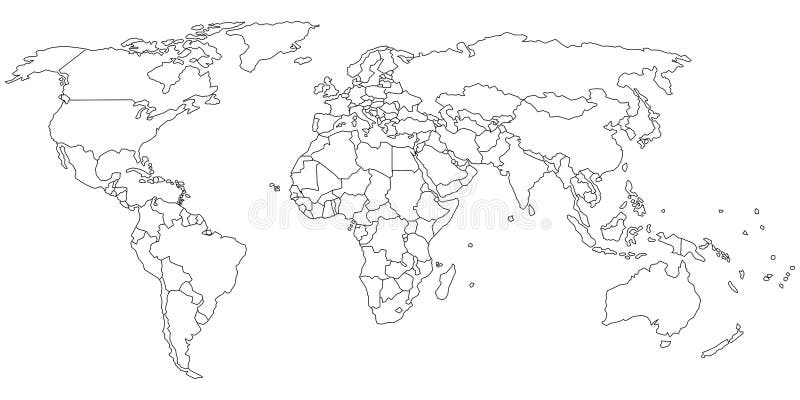
Free with trial Vector Blank outline, linear, line circuit, contour black similar World map isolated white background. Monochrome Worldmap template website design cover infographics. Flat Earth map illustration. Map vectors Vector Blank outline, linear, line circuit, contour black similar World map isolated white background. Monochrome. Worldmap template website design cover. Vector Blank outline, linear, line circuit, contour black similar World map isolated white background. Monochrome Worldmap template website design cover infographics. Flat Earth map illustration.
Free with trial Us interstate highway, administrative and political vector map. Map vectors Us interstate highway, administrative and political vector map.
Free with trial Seamless pattern with vintage globe, abstract world map, rope knots, ribbon. Retro hand drawn vector illustration Great adventure in sketch style with grunge background old paper. Map vectors Seamless pattern with vintage globe, abstract world map, rope knots, ribbon. Retro hand drawn vector illustration Great adventure. In sketch style with grunge
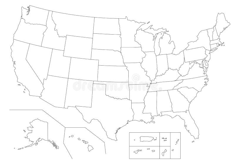
Free with trial Blank similar USA map isolated on white background. United States of America country. Vector template for website, design, cover, infographics. Graph illustration. Map vectors Blank similar USA map isolated on white background. United States of America country. Vector template for website. Design, cover, infographics. Graph
Free with trial Stock Vector Illustration: Map icons. Flat Design Illustration: Map icons. Map vectors Stock Vector Illustration: Map icons. Flat Design Illustration: Map icons
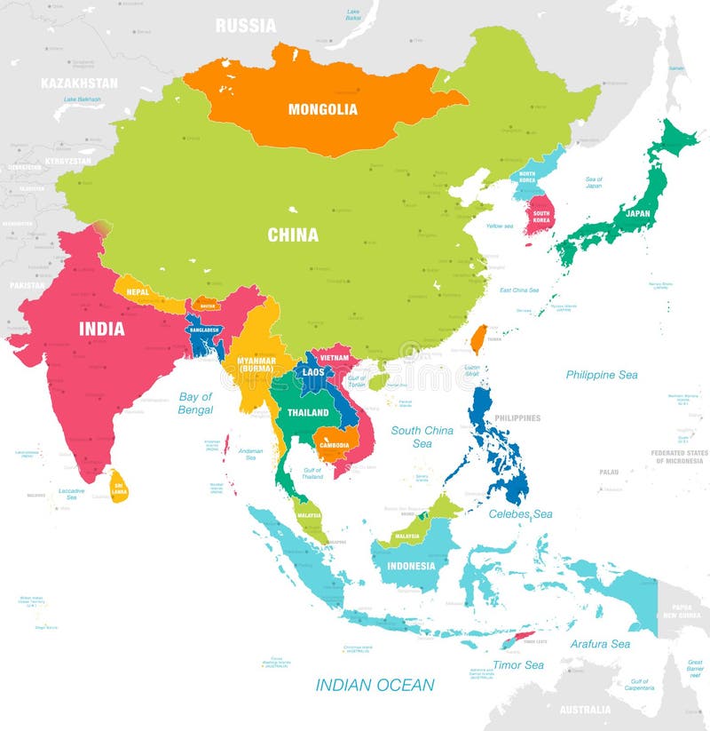
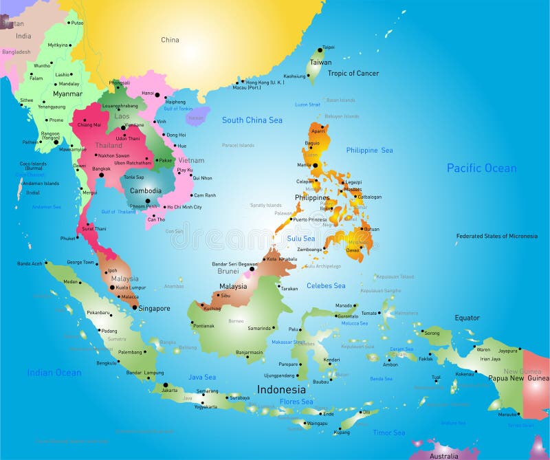
Free with trial Vector map of East Asia Continent with Countries, Capitals, Main Cities and Seas and islands names in strong brilliant colors palette. Map vectors Colorful Vector map of East Asia. Vector map of East Asia Continent with Countries, Capitals, Main Cities and Seas and islands names in strong brilliant colors. Vector map of East Asia Continent with Countries, Capitals, Main Cities and Seas and islands names in strong brilliant colors palette.
Free with trial Map icons on white background. GPS and Navigation. Vector illustration. Map vectors Map icons on white background. GPS and Navigation. Vector illustration
Free with trial Map of heights seamless pattern. Contour topographic maps wavy lines, contoured relief texture and topographical mountains and topography plains contours background vector illustration. Map vectors Map of heights seamless pattern. Contour topographic maps, relief texture and topographical mountains and plains vector. Map of heights seamless pattern. Contour. Map of heights seamless pattern. Contour topographic maps wavy lines, contoured relief texture and topographical mountains and topography plains contours background vector illustration
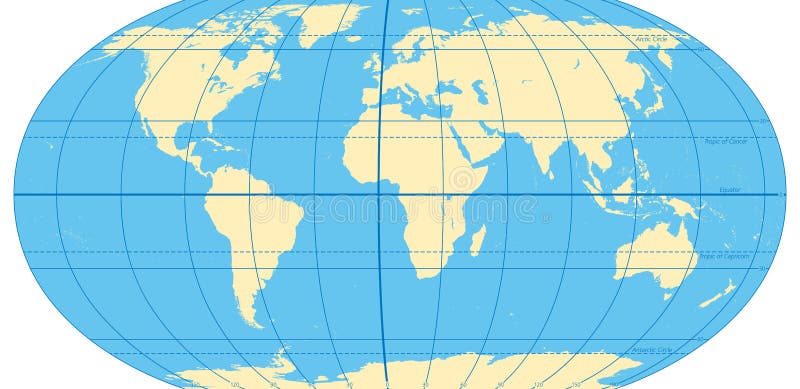
Free with trial World map with most important circles of latitudes and longitudes, showing Equator, Greenwich meridian, Arctic and Antarctic Circle, Tropic of Cancer and Capricorn. English. Illustration. Vector. Map vectors World map with most important circles of latitudes and longitudes. Showing Equator, Greenwich meridian, Arctic and Antarctic Circle, Tropic of Cancer and. World map with most important circles of latitudes and longitudes, showing Equator, Greenwich meridian, Arctic and Antarctic Circle, Tropic of Cancer and Capricorn. English. Illustration. Vector.
Free with trial An illustration of a flat projection of the world map on white background. Map vectors Blue world map. An illustration of a flat projection of the world map on white background. An illustration of a flat projection of the world map on white background.
Free with trial Colored united states map with names and capitals. Silhouette and colored united states map with names and capitals background. Map vectors Colored united states map with names and capitals. Silhouette and colored united states map with names and capitals background
Free with trial Cartoon seamless city map. Illustration cartoon seamless city map. Map vectors Cartoon seamless city map. Illustration cartoon seamless city map
Free with trial World map outline. Simple outline of world map on transparent background. Map vectors World map outline. Simple outline of world map on transparent background
Free with trial Global Abstract Bitcoin Crypto Currency Blockchain Technology World Map Background Illustration. Map vectors Ultra HD Abstract Bitcoin Crypto Currency Blockchain Technology World Map Background Illustration. Global Abstract Bitcoin Crypto Currency Blockchain Technology. Global Abstract Bitcoin Crypto Currency Blockchain Technology World Map Background Illustration
Free with trial Australia simple map outline - smooth simplified continent shape map vector. Map vectors Australia map. Australia simple map outline - smooth simplified continent shape map vector. Australia simple map outline - smooth simplified continent shape map vector.
Free with trial World Map. Eps vector illustration of world map in 3 different colors. Map vectors World Map. Eps vector illustration of world map in 3 different colors
Free with trial World map with countries isolated on white background. Vector illustration. Eps 10. Map vectors World map with countries isolated on white background. Vector illustration. Eps 10
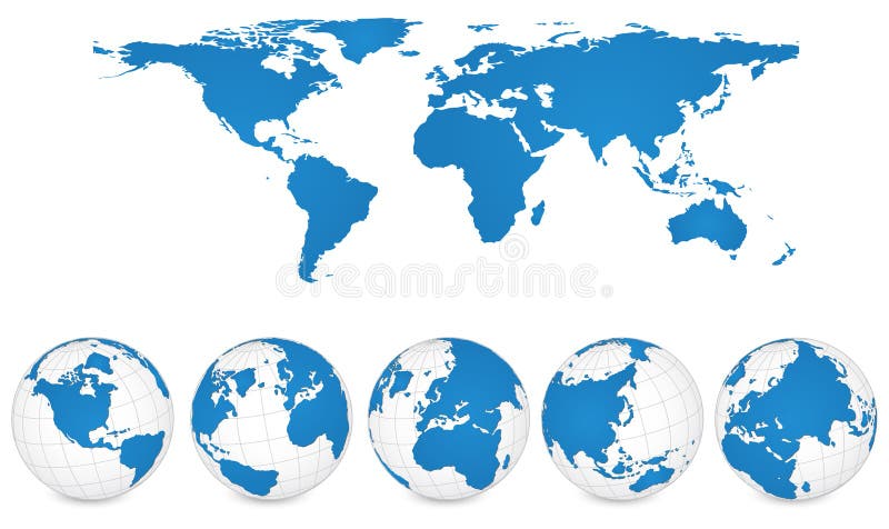
Free with trial Vector of World Map and Globe Detail Vector Illustration. Map vectors World Map and Globe Detail Vector Illustration. Vector of World Map and Globe Detail Vector Illustration. Vector of World Map and Globe Detail Vector Illustration.
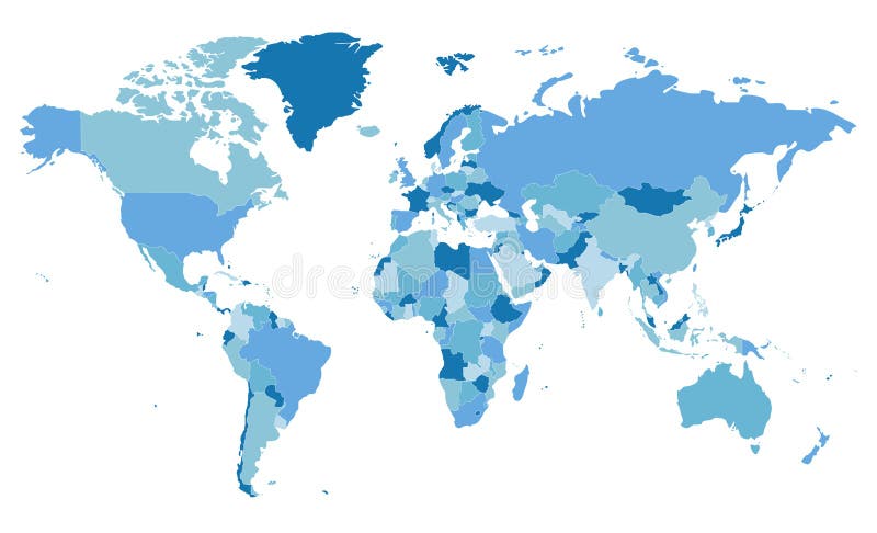
Free with trial Political blank World Map vector illustration with different tones of blue for each country. Editable and clearly labeled layers. Map vectors Political blank World Map vector illustration with different tones of blue for each country. Editable and clearly labeled layers
Free with trial Vintage world map. Ancient world antiquity paper map with continents ocean sea old sailing vector background. Map vectors Vintage world map. Ancient world antiquity paper map with continents ocean sea old sailing vector globe background. Vintage world map. Ancient world antiquity. Vintage world map. Ancient world antiquity paper map with continents ocean sea old sailing vector background
Free with trial Greece vector map. Vector map of Greece with mayor cities. Map vectors Greece vector map. Vector map of Greece with mayor cities
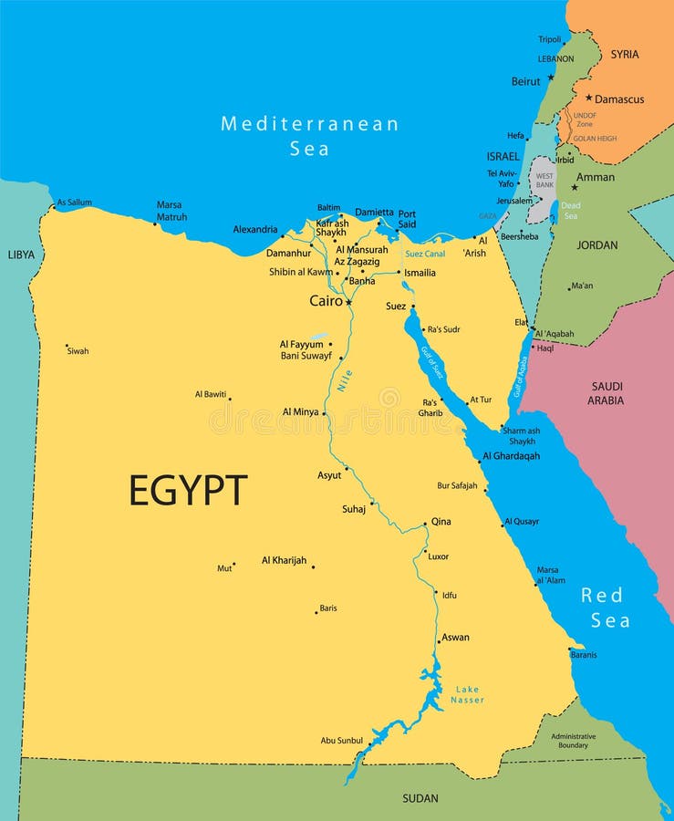
Free with trial Egypt vector map. Egypt, Israel and Jordan country vector map. Map vectors Egypt vector map. Egypt, Israel and Jordan country vector map
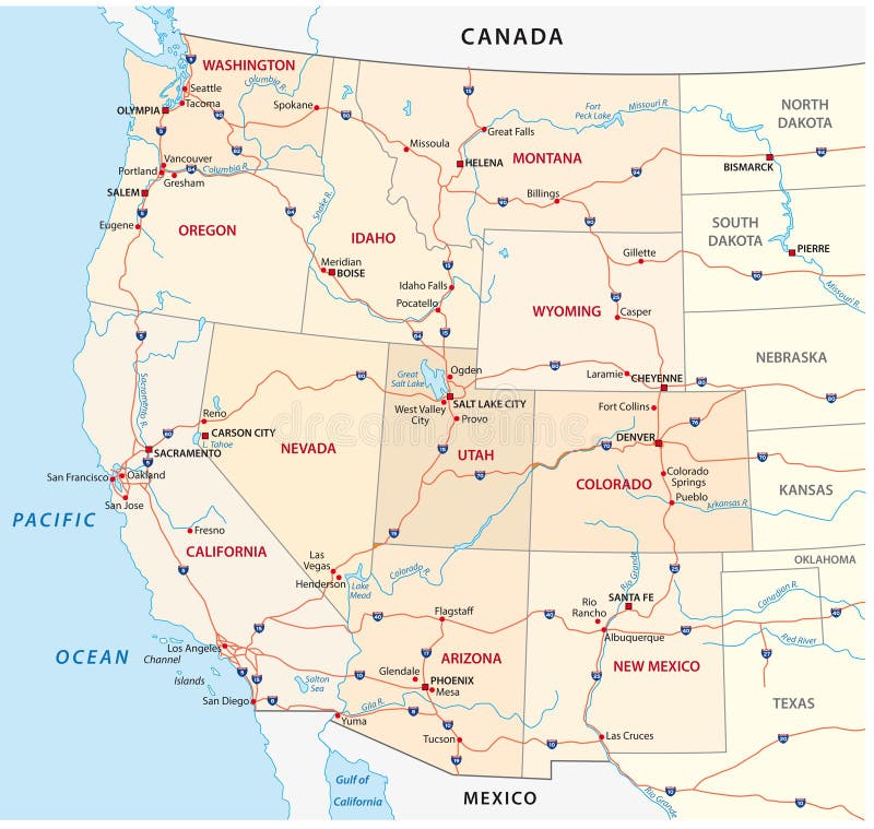
Free with trial Western united states map. Map of the western united states. Map vectors Western united states map. Map of the western united states
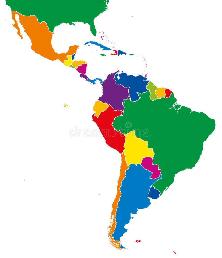
Free with trial Latin America single states map. All countries in different full intense colors and with national borders. From northern border of Mexico to the southern tip of South America, including the Caribbean. Map vectors Latin America single states map full color. Latin America single states map. All countries in different full intense colors and with national borders. From. Latin America single states map. All countries in different full intense colors and with national borders. From northern border of Mexico to the southern tip of South America, including the Caribbean.
Free with trial Ecuador and Galapagos Islands political map with capital Quito, with national borders, most important cities, rivers and lakes. Illustration with English labeling and scaling. Vector. Map vectors Ecuador and Galapagos Islands Political Map. With capital Quito, with national borders, most important cities, rivers and lakes. Illustration with English. Ecuador and Galapagos Islands political map with capital Quito, with national borders, most important cities, rivers and lakes. Illustration with English labeling and scaling. Vector.
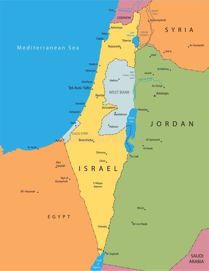
Free with trial Vector map of Israel. With major cities. Map vectors Vector map of Israel. With major cities
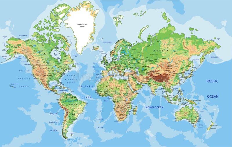
Free with trial Physical World map in Mercator projection with clearly labeled, separated layers. Vector illustration. Map vectors Highly detailed physical World map with labeling. Vector illustration. Physical World map in Mercator projection with clearly labeled, separated layers. Vector. Physical World map in Mercator projection with clearly labeled, separated layers. Vector illustration.
Free with trial Map of the U. S. state Ohio. state of Ohio. Map vectors Map of the U.S. state Ohio. Map of the U.S. state of Ohio
Free with trial Europe vector map. Abstract europe vector map on white. Map vectors Europe vector map. Abstract europe vector map on white
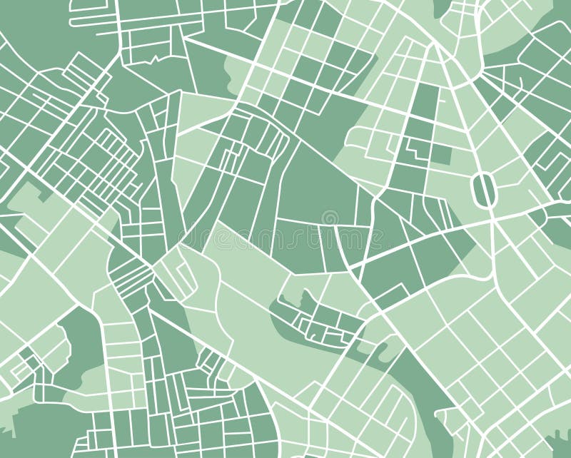
Free with trial Editable vector street map of town as seamless pattern. Vector illustration. Map vectors City map seamless. Editable vector street map of town as seamless pattern. Vector illustration. Editable vector street map of town as seamless pattern. Vector illustration.
Free with trial Vector color southeast asia map. Map vectors Southeast asia map. Vector color southeast asia map. Vector color southeast asia map.
Free with trial Diversity concept world map, cartoon people over asia continent. Vector illustration layered for easy editing. Map vectors Asian people cartoons, world map diversity illustr. Diversity concept world map, cartoon people over asia continent. Vector illustration layered for easy editing. Diversity concept world map, cartoon people over asia continent. Vector illustration layered for easy editing.
Free with trial City Map of Amsterdam, Netherlands. Vector map of the city of Amsterdam, Netherlands. Map vectors City Map of Amsterdam, Netherlands. Vector map of the city of Amsterdam, Netherlands
Free with trial World map with infographic elements, vector illustration. Map vectors World map with infographic elements, vector illustration. World map with infographic elements, a vector illustration
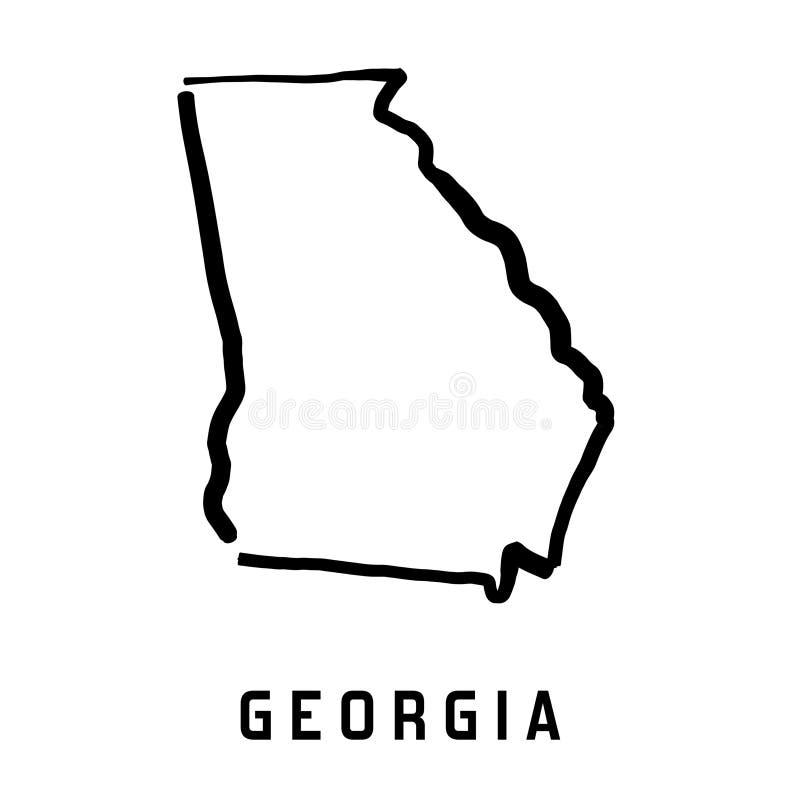
Free with trial Georgia state map outline - smooth simplified US state shape map vector. Map vectors Georgia map. Georgia state map outline - smooth simplified US state shape map vector. Georgia state map outline - smooth simplified US state shape map vector.
Free with trial Navigation map. Street 3d location pin locator, pins pointer navigator maps and locations marker. Navigate gps plan, geography location mapping vector illustration. Map vectors Navigation map. Street 3d location pin locator, pins pointer navigator maps and locations marker vector illustration. Navigation map. Street 3d location pin. Navigation map. Street 3d location pin locator, pins pointer navigator maps and locations marker. Navigate gps plan, geography location mapping vector illustration
Free with trial Funny cartoon map of Europe with childrens of different nationalities, representative monuments, animals and objects of all the countries. Vector illustration for preschool education and kids design. Map vectors Funny cartoon map of Europe with childrens, representative monuments, animals and objects of all the countries. Funny cartoon map of Europe with childrens of. Funny cartoon map of Europe with childrens of different nationalities, representative monuments, animals and objects of all the countries. Vector illustration for preschool education and kids design
Free with trial South africa road map. South africa road and national park map. Map vectors South africa road map. South africa road and national park map
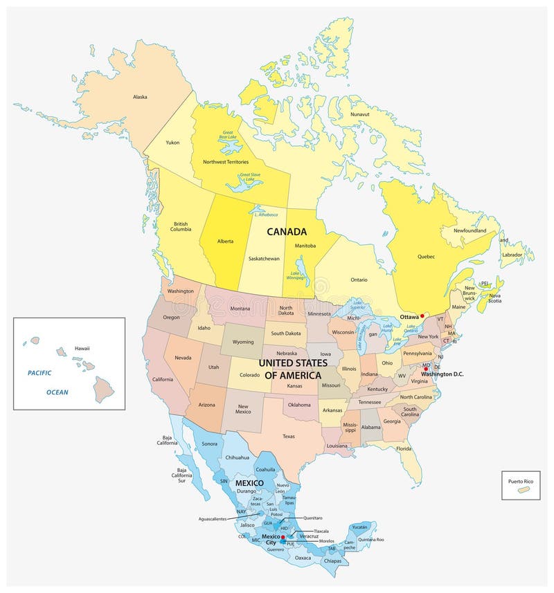
Free with trial Administrative and political vector map of the three North American states, Mexico, Canada and the United States of America. Map vectors Administrative and political vector map of the three North American states, Mexico, Canada and the United States of America.
Free with trial Map of Israel in cartoon style. Welcome to Holy Land, map of Israel in cartoon style. Vector illustration. Map vectors Map of Israel in cartoon style. Welcome to Holy Land, map of Israel in cartoon style. Vector illustration
Free with trial United States, Census regions and divisions, political map. Region definition widely used for data collection and analysis. The most commonly used classification system. English. Illustration. Vector. Map vectors United States, Census regions and divisions, political map. Region definition widely used for data collection and analysis. The most commonly used
Free with trial Mind map on the topic of health and healthy lifestyle. Mental map vector illustration, isolated on white background. Map vectors Mind map on the topic of health and healthy lifestyle. Mental map vector illustration, isolated on white. Mind map on the topic of health and healthy lifestyle. Mind map on the topic of health and healthy lifestyle. Mental map vector illustration, isolated on white background.
Free with trial High detailed Africa physical map with labeling, separated layers. Vector illustration. Map vectors High detailed Africa physical map with labeling. High detailed Africa physical map with labeling, separated layers. Vector illustration. High detailed Africa physical map with labeling, separated layers. Vector illustration.
Free with trial Abstract communication network map USA or America as a printed circuit Board. Smart city connected with country. Technology. Concepts. Map vectors Abstract communication network map USA or America as a printed circuit Board. Smart city connected with country. Technology. Concepts
Free with trial Parking lot displayed on laptop. Wireless device with locater map app device. Vector flat 3d isometric illustration of car park location on tablet internet Icon. Map vectors Parking lot displayed on laptop. Wireless device with locater map app device. Vector flat 3d isometric illustration. Of car park location on tablet internet
Free with trial Outline United States Of America map. US background template. Map of America with separated countries and interstate borders. All states and regions are named in the layer panel. Map vectors Outline United States Of America map. US background template. Map of America with separated countries and interstate borders. All states and regions are named
Free with trial Cartoon animal world map for children and kids, Animals from all over the world, white continents and islands on blue background of ocean and sea. Vector illustration. Map vectors Cartoon animal world map for children and kids. Animals from all over the world, white continents and islands on blue background of ocean and sea. Vector
Free with trial Color drawing political world map on a notepad sheet. Map vectors Color drawing political world map. On a notepad sheet
Free with trial Global network mesh. Earth map. Global network mesh Social communications background. Vector illustration. r. Map vectors Global network mesh. Earth map. Global network mesh Social communications background. Earth map. Vector illustration. r
Free with trial Political World Map vector illustration with different tones of blue for each country. Editable and clearly labeled layers. Map vectors Political World Map vector illustration with different tones of blue for each country. Editable and clearly labeled layers
Free with trial Map of the U. S. state Wisconsin. Map vectors Map of the U.S. state Wisconsin. Map of the U.S. state of Wisconsin
Free with trial Stylized Map of Egypt with different cultural objects and landmarks. Egypt map travel with ancient landmark sphinx and pyramid. Vector illustration. Map vectors Stylized Map of Egypt with different cultural objects and landmarks. Egypt map travel with ancient landmark sphinx and pyramid. Vector illustration
Free with trial World map infographic template. All countries are selectable. Map vectors World map infographic template. All countries are selectable
Free with trial Florida map outline - smooth simplified US state shape map vector. Map vectors Florida map outline. Smooth simplified US state shape map vector
Free with trial Mexico vector map with the main cities. Map vectors Mexico vector map. With the main cities
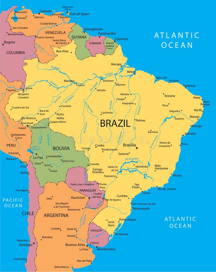
Free with trial Brazil vector map with the main cities. Map vectors Brazil vector map. With the main cities
Free with trial Timezone map - vector color illustration. Map vectors Timezone map. Vector color illustration
Free with trial Vector map of Poland. With mayor cities. Map vectors Vector map of Poland. With mayor cities
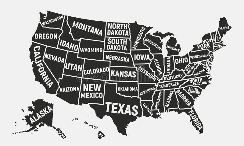
Free with trial United States of America map. Poster map of USA with state names. Vector illustration. Map vectors United States of America map. Poster map of USA with state names. American background. Vector illustration. United States of America map. Poster map of USA with. United States of America map. Poster map of USA with state names. Vector illustration
Free with trial Plane Vector Icon black. Label Symbol for the Map, Aircraft. Editable stroke illustration in white background. Map vectors Plane Vector Icon black. Label Symbol for the Map, Aircraft. Editable stroke illustration. Plane Vector Icon black. Label Symbol for the Map, Aircraft. Editable. Plane Vector Icon black. Label Symbol for the Map, Aircraft. Editable stroke illustration in white background.
Free with trial Stylized low poly World Map concept with wired construction of onnection concept. Globes business background. Vector illustration. Map vectors Stylized low poly World Map concept with wired construction of connection concept. Globes business background. Stylized low poly World Map concept with wired. Stylized low poly World Map concept with wired construction of onnection concept. Globes business background. Vector illustration.
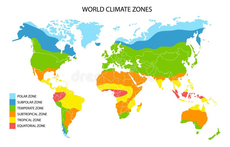
Free with trial World climate zones, vector geographic infographics. Global climate map, geography science. Map vectors World climate zones map, vector geographic infographics. World climate zones, vector geographic infographics. Global climate map, geography science. World climate zones, vector geographic infographics. Global climate map, geography science.
Free with trial Map pin flat design style modern icon, pointer minimal vector symbol, marker sign. Pin icon vector. Location sign Isolated on white background. Navigation map sign for gps direction place or compass concept. Flat style for graphic design EPS10. Map vectors Map pin flat design style modern icon, pointer minimal vector symbol, marker sign. Pin icon vector. Location sign Isolated on white background. Navigation map
Free with trial World map vector. Vector illustration of world map of continents on white isolated background. Map vectors World map vector. Vector illustration of world map of continents on white isolated background
Free with trial Map of the U. S. state Minnesota. Map vectors Map of the U.S. state Minnesota. Map of the U.S. state of Minnesota
Free with trial United Kingdom vector map. United Kingdom and Ireland vector map. Map vectors United Kingdom vector map. United Kingdom and Ireland vector map
Free with trial South America flora and fauna map, flat elements. Animals, birds. And sea life big set. Build your geography infographics collection. Vector illustration. Map vectors South America flora and fauna map, flat elements. Animals, birds. And sea life big set. Build your geography infographics collection. Vector illustration
Free with trial Modern city map elements for generating your own infographics, m. Aps. Vector illustration. Map vectors Modern city map elements for generating your own infographics, m. Aps. Vector illustration
Free with trial World map. This image is a illustration of world map. Map vectors World map. This image is a illustration of world map
Free with trial World map. A colorful map of the world on isolated background. Map vectors World map. A colorful map of the world on isolated background
 Sign in