Free with trial Business presentation or infographic with 7 options. Vector dynamic infographics or mind map of technology or education process. Web Template of a chart, mindmap or diagram. Map vectors Business presentation or infographic with 7 options. Vector dynamic infographics or mind map of technology or education process. Web Template of a chart
Free with trial World map in blue color on white background. High detail blank political map. Vector illustration with labeled compound path of each country. Map vectors World map in blue color on white background. High detail blank political map. Vector illustration with labeled compound. Path of each country
Free with trial Globe world map vector icon. Round earth flat vector illustration. Planet business concept pictogram on white background. Map vectors Globe world map vector icon. Round earth flat vector illustration. Planet business concept pictogram on white background.
Free with trial Highly detailed political world map with a 3D globes and navigation icons. Map vectors Highly detailed political world map with a glossy navigation set. Highly detailed political world map with a 3D globes and navigation icons. Highly detailed political world map with a 3D globes and navigation icons.
Free with trial Map of the Netherlands. In orange dots. Map vectors Map of the Netherlands. In orange dots
Free with trial Dubai vector map. Detailed vector map of Dubai city administrative area. Cityscape poster metropolitan aria view. Black land with white streets, roads and avenues. White background. Map vectors Dubai vector map. Detailed black map of Dubai city poster with streets. Cityscape urban vector. Dubai vector map. Detailed vector map of Dubai city. Dubai vector map. Detailed vector map of Dubai city administrative area. Cityscape poster metropolitan aria view. Black land with white streets, roads and avenues. White background
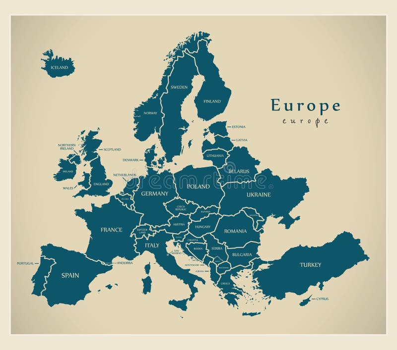
Free with trial Modern Map - Europe with countries and labels. Illustration. Map vectors Modern Map - Europe with countries and labels. Illustration
Free with trial Outline location icon. GPS pointer. Map pin. Navigator guide. Vector line simple button. Black pictogram isolated on white. Map vectors Outline location icon. GPS pointer. Map pin. Navigator guide. Vector line simple button. Black pictogram isolated on white
Free with trial Topographic map background concept with space for your copy. Topography lines art contour , mountain hiking trail , Shape vector design. generated. Map vectors Topographic map background concept with space for your copy. Topography lines art contour , mountain hiking trail. Shape vector design. generated
Free with trial Map of North Carolina. Detailed and accurate illustration of map of North Carolina. Map vectors Map of North Carolina. Detailed and accurate illustration of map of North Carolina
Free with trial Political map of Latin America. Latin american states blue highlighted in the map of South America, Central America and Caribbean. Vector illustration. Map vectors Political map of Latin America. Latin american states blue highlighted in the map of South America, Central America and. Caribbean. Vector illustration
Free with trial Map pin pointer icon location symbol. Map vectors Map pin pointer icon location symbol.
Free with trial Gray Political World Map Vector, light design vector illustration. Map vectors Gray Political World Map Vector. Light design vector illustration
Free with trial Black World map silhouette on transparent background. Vector illustration. Map vectors Black World map silhouette on transparent background. Vector illustration.
Free with trial Usa state map colored vector. Usa state divided map colored vector blank. Map vectors Usa state map colored vector. Usa state divided map colored vector blank
Free with trial Maps pin. Location map icon. Location pin. Pin icon. vector illustration on white background. Map vectors Maps pin. Location map icon. Location pin. Pin icon vector.Heart in a speech bubble, vector love icon. Maps pin. Location map icon. Location pin. Pin icon. Maps pin. Location map icon. Location pin. Pin icon. vector illustration on white background
Free with trial Set of nine topographic map travel vector emblems. Outdoor adventure emblems, badges and logo patches. Forest camp labels in vintage style. Map pattern with mountain texture and grid. Map vectors Set of nine topographic map travel emblems. Outdoor adventure emblems, badges and logo patches. Forest camp labels in. Set of nine topographic map travel vector. Set of nine topographic map travel vector emblems. Outdoor adventure emblems, badges and logo patches. Forest camp labels in vintage style. Map pattern with mountain texture and grid
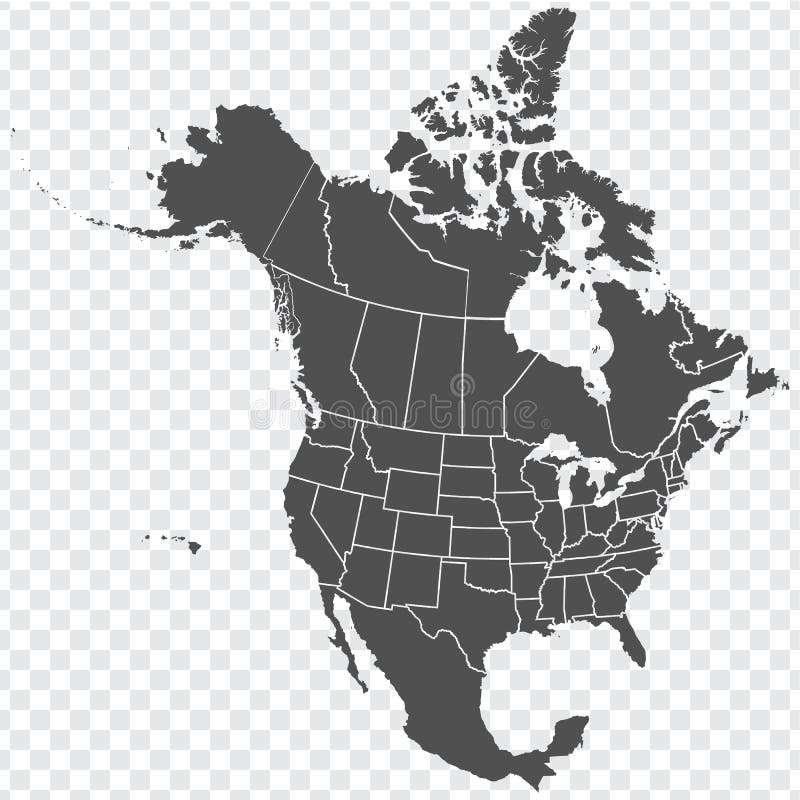
Free with trial Map of North America. Detailed map of North America with States of the USA and Provinces of Canada. Template. Stock vector. EPS10. Map vectors Map of North America. Detailed map of North America with States of the USA and Provinces of Canada. Template. Stock vector. EPS10
Free with trial Blank outline map of United States of America. Simplified vector map made of thick black outline on white background. Map vectors Blank outline map of United States of America. Simplified vector map made of thick black outline on white background.
Free with trial Animal World Map - cute cartoon hand drawn nursery print in scandinavian style. Vector illustration. Map vectors Animal World Map - cute cartoon hand drawn nursery print in scandinavian style. Vector illustration.
Free with trial Eps10. Map of the topography line. Vector abstract topographic map concepts with perspective for your copy. mountain tourism. Map vectors Map of the topography line. Vector abstract topographic map concepts with perspective for your copy. mountain tourism. Eps10. Map of the topography line. Vector. Eps10. Map of the topography line. Vector abstract topographic map concepts with perspective for your copy. mountain tourism
Free with trial World map vector icon. simple Flat design. Map vectors World map vector icon. simple Flat design
Free with trial Map location pointer icon with shadow on transparent background. Map pin for target or destination. Map vectors Map location pointer icon on transparent background. Map pin for target or destination. Map location pointer icon with shadow on transparent background. Map pin. Map location pointer icon with shadow on transparent background. Map pin for target or destination.
Free with trial Simple only sharp corners map of Ireland whole island, includ. Ing northern British part vector drawing. Mercator projection. Filled and outline version. Map vectors Simple only sharp corners map of Ireland whole island, includ. Ing northern British part vector drawing. Mercator projection. Filled and outline version
Free with trial Texas map vector. Illustration, scribble sketch Texas map. Map vectors Texas map vector. Illustration, scribble sketch Texas map
Free with trial One color grey world map isolated on transparent background. World vector illustration. Map vectors One color grey world map isolated on transparent background. World vector illustration.
Free with trial USA outline map national borders country shape. America. Map vectors USA outline map national borders country shape. America
Free with trial Dotted lines constitute the world map, GPS positioning constitute the world`s big data technology vector background, meaning globalization, internationalization, science and technology concept. Map vectors Dotted lines constitute the world map, GPS positioning constitute the world`s big data technology vector background, meaning globa. Lization. Dotted lines constitute the world map, GPS positioning constitute the world`s big data technology vector background, meaning globalization, internationalization, science and technology concept.
Free with trial United States of America vector map with state borders. Gray map on white background. Map vectors United States of America vector map with state borders. Gray map on white background
Free with trial Globe world map vector icon. Round earth flat vector illustration. Planet business concept pictogram on isolated transparent back. Ground. Map vectors Globe world map vector icon. Round earth flat vector illustration. Planet business concept pictogram on isolated transparent back. Ground
Free with trial Earth globe with green world map and blue seas and oceans focused on Arctic Ocean and North Pole. With thin white meridians and parallels. 3D vector illustration. Map vectors Earth globe with white world map and blue seas and oceans focused on Arctic Ocean and North Pole. With thin white. Earth globe with green world map and blue seas. Earth globe with green world map and blue seas and oceans focused on Arctic Ocean and North Pole. With thin white meridians and parallels. 3D vector illustration.
Free with trial Local seo banner, Map and shop in realistic view. Vector flat illustration. Map vectors Local seo banner, Map and shop in realistic view. Vector flat illustration
Free with trial California, state of USA - solid black silhouette map of country area. Simple flat vector illustration. Map vectors California, state of USA - solid black silhouette map of country area. Simple flat vector illustration.
Free with trial High detailed USA map with federal states. Vector illustration U. Nited states of America. Map vectors High detailed USA map with federal states. Vector illustration U. Nited states of America
Free with trial Blank map United States of America. High quality map of USA with federal states on transparent background for your web site design, logo, app, UI. Stock vector. Vector illustration EPS10. Map vectors Blank map United States of America. High quality map of USA with federal states on transparent background for your web site design. Logo, app, UI. Stock vector. Blank map United States of America. High quality map of USA with federal states on transparent background for your web site design, logo, app, UI. Stock vector. Vector illustration EPS10
Free with trial Arizona, state of USA - solid black outline map of country area. Simple flat vector illustration. Map vectors Arizona, state of USA - solid black outline map of country area. Simple flat vector illustration.
Free with trial Global map background. Vector illustration. World map. Global map design. Background. Map vectors Global map background. Vector illustration. World map. Global map design. Background
Free with trial World map in grey color on white background. High detail blank political map. Vector illustration with labeled compound path of each country. Map vectors World map in grey color on white background. High detail blank political map. Vector illustration with labeled compound. Path of each country
Free with trial United Kingdom UK - Europe Countries Map Vector Icon Template Illustration Design. Editable Vector EPS 10. Map vectors United Kingdom UK - Europe Countries Map Vector Icon Template Illustration Design. Vector EPS 10. United Kingdom UK - Europe Countries Map Vector Icon Template. United Kingdom UK - Europe Countries Map Vector Icon Template Illustration Design. Editable Vector EPS 10.
Free with trial Vector Map of Long Island with title. Map of Long Island is isolated on a white background. Simple flat geographic map. Map vectors Vector Flat Map of Long Island with Caption. Vector Map of Long Island with title. Map of Long Island is isolated on a white background. Simple flat geographic. Vector Map of Long Island with title. Map of Long Island is isolated on a white background. Simple flat geographic map.
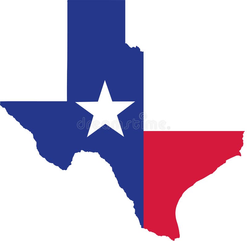
Free with trial Texas, state of USA - solid black silhouette map of country area. Simple flat vector illustration. Map vectors Texas, state of USA - solid black silhouette map of country area. Simple flat vector illustration.
Free with trial Arkansas, state of USA - solid black silhouette map of country area. Simple flat vector illustration. Map vectors Arkansas, state of USA - solid black silhouette map of country area. Simple flat vector illustration.
Free with trial Florida vector map silhouette. High detailed illustration. United state of America country. Map vectors Florida vector map silhouette. High detailed illustration. United state of America country.
Free with trial Australia and Pacific Ocean centered world map. High detail white silhouette on blue background. Vector illustration. Map vectors Australia and Pacific Ocean centered world map. High detail white silhouette on blue background. Vector illustration.
Free with trial Pixel map of World. Vector dotted map of World isolated on white background. Abstract computer graphic of World map. vector illustration. Map vectors Pixel map of World. Vector dotted map of World isolated on white background. Abstract computer graphic of World map. Vector illustration
Free with trial World country flags and map. On a blue background. Map vectors World country flags and map. On a blue background
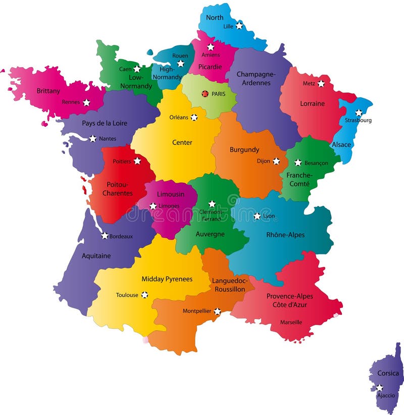
Free with trial France map designed in illustration with the regions colored in bright colors and with the main cities. Neighbouring countries are in an additional format (. AI) in the latent layer. Map vectors Map of France. France map designed in illustration with the regions colored in bright colors and with the main cities. Neighbouring countries are in an. France map designed in illustration with the regions colored in bright colors and with the main cities. Neighbouring countries are in an additional format (. AI) in the latent layer.
Free with trial Mexico map designed in illustration with states colored in green colors and with the main cities. Neighbouring countries are in an additional format (. AI) in the latent layer. Map vectors Vector Mexico map. Mexico map designed in illustration with states colored in green colors and with the main cities. Neighbouring countries are in an additional. Mexico map designed in illustration with states colored in green colors and with the main cities. Neighbouring countries are in an additional format (. AI) in the latent layer.
Free with trial Vector map of Spain. Vector illustration of a map and flag from Spain. Map vectors Vector map of Spain. Vector illustration of a map and flag from Spain
Free with trial Collection of GPS navigation and map icons and symbols, on white background. Eps file available. Map vectors GPS Navigation & Map Icons. Collection of GPS navigation and map icons and symbols, on white background. Eps file available. Collection of GPS navigation and map icons and symbols, on white background. Eps file available.
Free with trial Blind map of Spain with regions borders. Names of the regions, main cities, and neighbouring countries are in an additional format (. AI) in the latent layer. Map vectors Spain map. Blind map of Spain with regions borders. Names of the regions, main cities, and neighbouring countries are in an additional format (. AI) in the
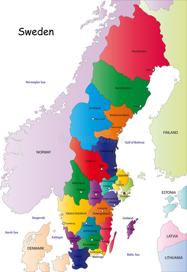
Free with trial Sweden map. Designed in illustration with the regions colored in bright colors and with the main cities. On an illustration neighbouring countries are shown too. Map vectors Sweden map. Designed in illustration with the regions colored in bright colors and with the main cities. On an illustration neighbouring countries are shown too
Free with trial Cyprus map. Illustration of a detailed political map of Cyprus, with the territory governed by U. K. and United Nations in grey and light gray. Map vectors Cyprus map. Illustration of a detailed political map of Cyprus, with the territory governed by U. K. and United Nations in grey and light gray
Free with trial World flags on map pins. Set of various world flags on map pins. Map vectors World flags on map pins. Set of various world flags on map pins
Free with trial Map of the United States. Map of every single State of the US blue - with names. Map vectors Map of the United States. Map of every single State of the US blue - with names
Free with trial Blind map of Denmark with regions borders. Names of the regions, main cities, and neighbouring countries are in an additional format (. AI) in the latent layer. Map vectors Denmark map. Blind map of Denmark with regions borders. Names of the regions, main cities, and neighbouring countries are in an additional format (.AI) in the. Blind map of Denmark with regions borders. Names of the regions, main cities, and neighbouring countries are in an additional format (.AI) in the latent layer.
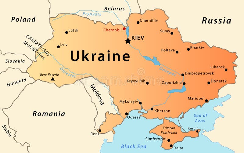
Free with trial Ukraine map. Illustration of a detailed political map of Ukraine, with the most important cities, rivers and mountains. Map vectors Ukraine map. Illustration of a detailed political map of Ukraine, with the most important cities, rivers and mountains
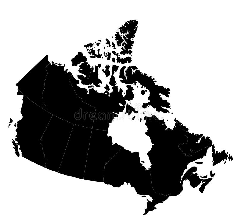
Free with trial Map of Canada. Blind map of Canada with regions borders. Vector illustration. Map vectors Map of Canada. Blind map of Canada with regions borders. Vector illustration
Free with trial Argentina map designed in illustration with states colored in bright colors and with the main cities. Neighbouring countries are in an additional format (. AI) in the latent layer. Map vectors Argentina map. Designed in illustration with states colored in bright colors and with the main cities. Neighbouring countries are in an additional format (. AI
Free with trial Greece map designed in illustration with the regions colored in green colors and with the main cities. Neighbouring countries are in an additional format (. AI) in the latent layer. Map vectors Map of Greece. Greece map designed in illustration with the regions colored in green colors and with the main cities. Neighbouring countries are in an additional. Greece map designed in illustration with the regions colored in green colors and with the main cities. Neighbouring countries are in an additional format (.AI) in the latent layer.
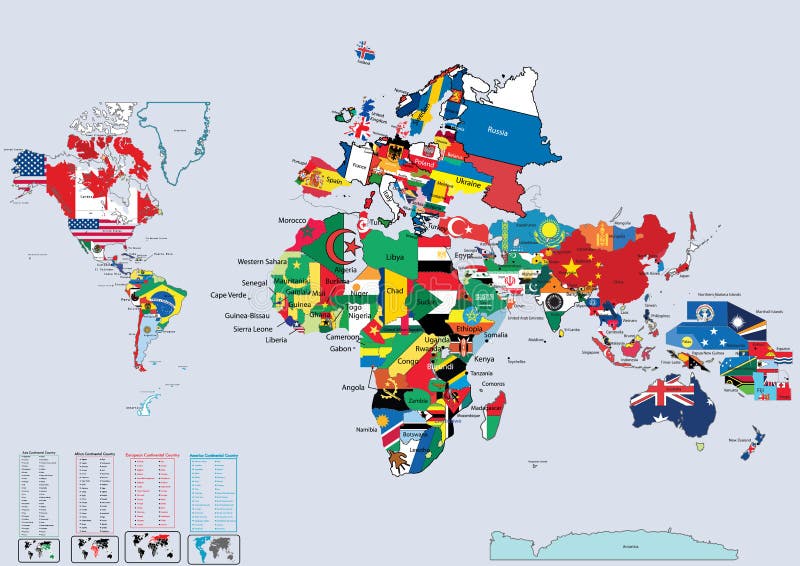
Free with trial Map of the countries of earth made up using different flags of the world. Map vectors World Flag Map. Map of the countries of earth made up using different flags of the world. Map of the countries of earth made up using different flags of the world.
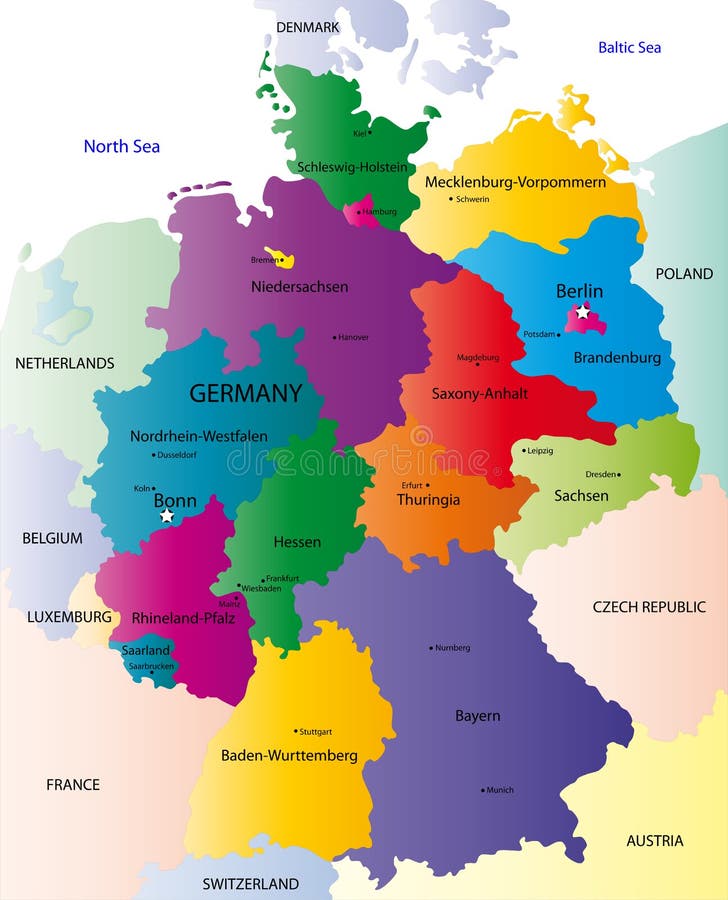
Free with trial Germany map designed in illustration with the regions colored in bright colors and with the main cities. On an illustration neighbouring countries are shown too. Map vectors Map of Germany. Germany map designed in illustration with the regions colored in bright colors and with the main cities. On an illustration neighbouring. Germany map designed in illustration with the regions colored in bright colors and with the main cities. On an illustration neighbouring countries are shown too
Free with trial Netherlands map designed in illustration with the regions colored in bright colors and with the main cities. Neighbouring countries are in an additional format (. AI) in the latent layer. Map vectors Netherlands map. Designed in illustration with the regions colored in bright colors and with the main cities. Neighbouring countries are in an additional format. Netherlands map designed in illustration with the regions colored in bright colors and with the main cities. Neighbouring countries are in an additional format (. AI) in the latent layer.
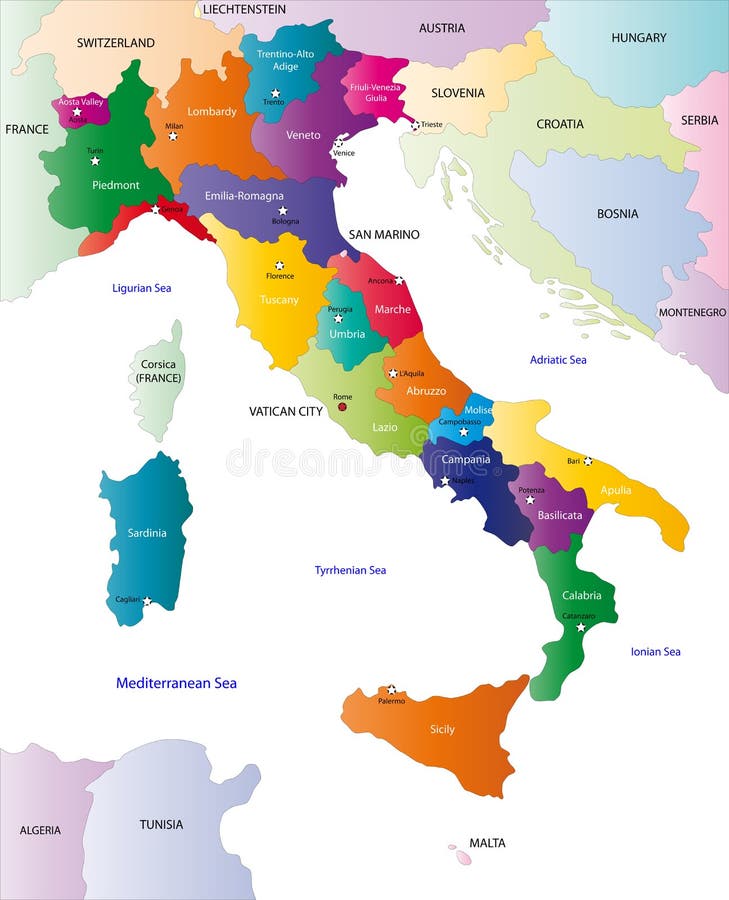
Free with trial Italy map designed in illustration with the regions colored in bright colors and with the main cities. On an illustration neighbouring countries are shown too. Map vectors Color map of Italy. Italy map designed in illustration with the regions colored in bright colors and with the main cities. On an illustration neighbouring. Italy map designed in illustration with the regions colored in bright colors and with the main cities. On an illustration neighbouring countries are shown too
Free with trial Vector map of France. Vector illustration of a map and flag from France. Map vectors Vector map of France. Vector illustration of a map and flag from France
Free with trial Belgium map designed in illustration with the regions colored in grey colors and with the main cities. Neighbouring countries are in an additional format (. AI) in the latent layer. Map vectors Belgium map. Designed in illustration with the regions colored in grey colors and with the main cities. Neighbouring countries are in an additional format (.AI
Free with trial Background with the flag of Italy and a golden map of it. Map vectors Italy flag background and map. Background with the flag of Italy and a golden map of it. Background with the flag of Italy and a golden map of it.
Free with trial Canada Map. 3D map of Canada, showing the capitals of the provinces and territories, as well as the borders. Map vectors Canada Map. 3D map of Canada, showing the capitals of the provinces and territories, as well as the borders
Free with trial Australia map. Map of Australia with internal regional boundaries. Map vectors Australia map. Map of Australia with internal regional boundaries
Free with trial Map of European union and EU flag. Vector. Map vectors Map of European union and EU flag. Vector
Free with trial Spain map designed in illustration with the regions colored in bright colors and with the main cities. Neighbouring countries are in an additional format (. AI) in the latent layer. Map vectors Spain map. Designed in illustration with the regions colored in bright colors and with the main cities. Neighbouring countries are in an additional format (. AI
Free with trial India map designed in illustration with regions colored in bright colors and with the main cities. Neighbouring countries are in an additional format (. AI) in the latent layer. Map vectors India map. Designed in illustration with regions colored in bright colors and with the main cities. Neighbouring countries are in an additional format (.AI) in
Free with trial Poland map designed in illustration with the 16 provinces colored in bright colors and with the main cities. On an illustration neighbouring countries are shown too. Map vectors Poland map. Designed in illustration with the 16 provinces colored in bright colors and with the main cities. On an illustration neighbouring countries are
Free with trial South Carolina Map flag. Map and flag of the State of South Carolina. Map vectors South Carolina Map flag. Map and flag of the State of South Carolina
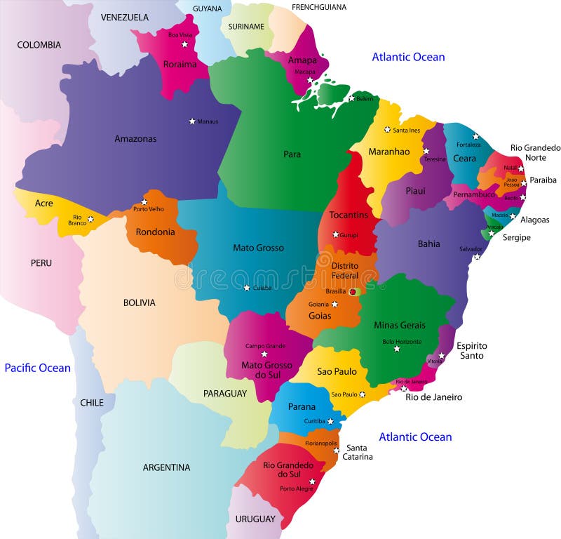
Free with trial Brazil map designed in illustration with the 26 states colored in bright colors and with the main cities. On an illustration neighbouring countries are shown too. Map vectors Brazil map. Designed in illustration with the 26 states colored in bright colors and with the main cities. On an illustration neighbouring countries are shown
 Sign in