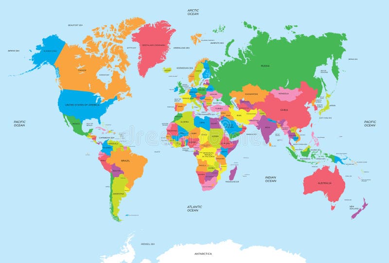
Free with trial Political map of the world vector. For your design. Map vectors Political map of the world vector. For your design
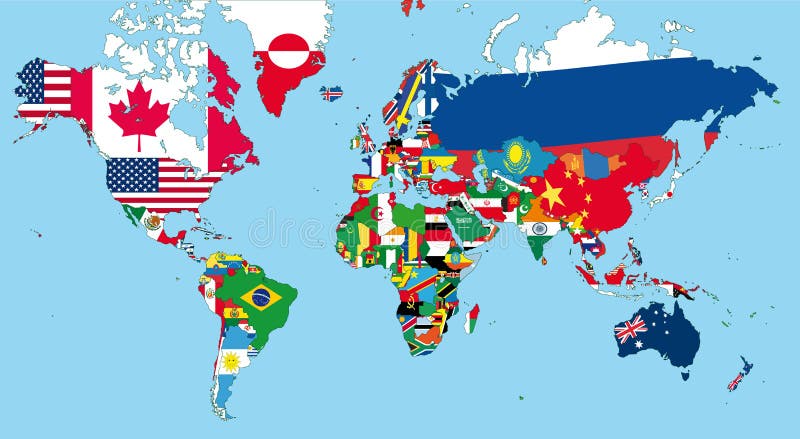
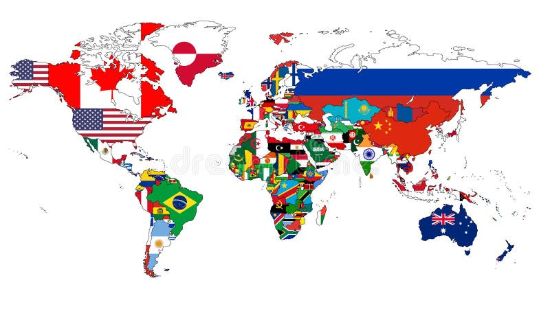
Free with trial The world map. With all states and their flags. Map vectors The world map. With all states and their flags
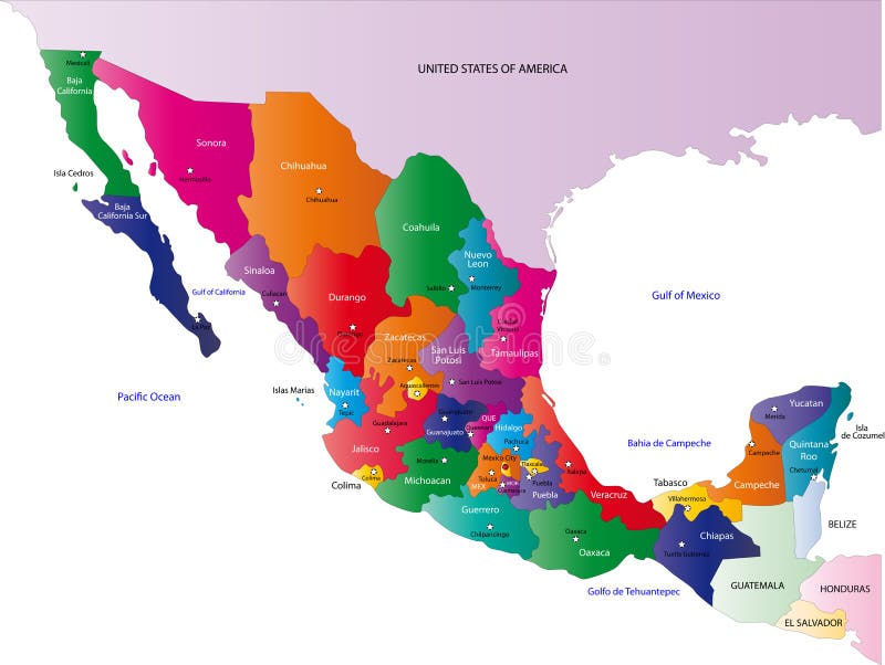
Free with trial Mexico map designed in illustration with the states colored in bright colors and with the main cities. On an illustration neighbouring countries are shown too. Map vectors Map of Mexico. Mexico map designed in illustration with the states colored in bright colors and with the main cities. On an illustration neighbouring countries. Mexico map designed in illustration with the states colored in bright colors and with the main cities. On an illustration neighbouring countries are shown too
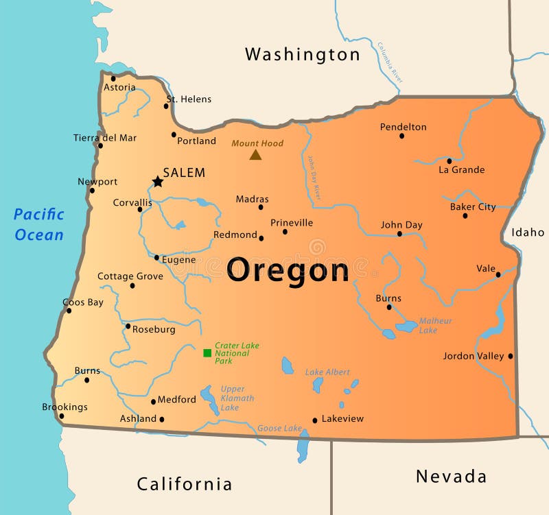
Free with trial Oregon map. Illustration of the map of Oregon, USA. The brown Triangle indicates the highest mountain, while the green square the National Park. Map vectors Oregon map. Illustration of the map of Oregon, USA. The brown Triangle indicates the highest mountain, while the green square the National Park
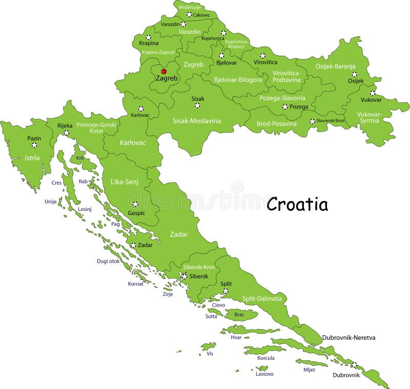
Free with trial Croatia map. Designed in illustration with regions colored in green colors. Vector illustration. Map vectors Croatia map. Designed in illustration with regions colored in green colors. Vector illustration
Free with trial Ireland map. Designed in illustration with regions colored in green colors. Vector illustration. Map vectors Ireland map. Designed in illustration with regions colored in green colors. Vector illustration
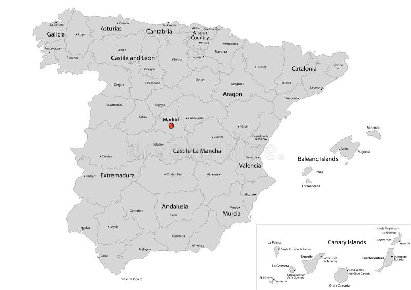
Free with trial Spain map designed in illustration with the regions colored in grey colors and with the main cities. Neighbouring countries are in an additional format (. AI) in the latent layer. Map vectors Map of Spain. Spain map designed in illustration with the regions colored in grey colors and with the main cities. Neighbouring countries are in an additional. Spain map designed in illustration with the regions colored in grey colors and with the main cities. Neighbouring countries are in an additional format (.AI) in the latent layer.
Free with trial Map of Ireland. Ireland map designed in illustration with regions colored in bright colors. Vector illustration. Map vectors Map of Ireland. Ireland map designed in illustration with regions colored in bright colors. Vector illustration
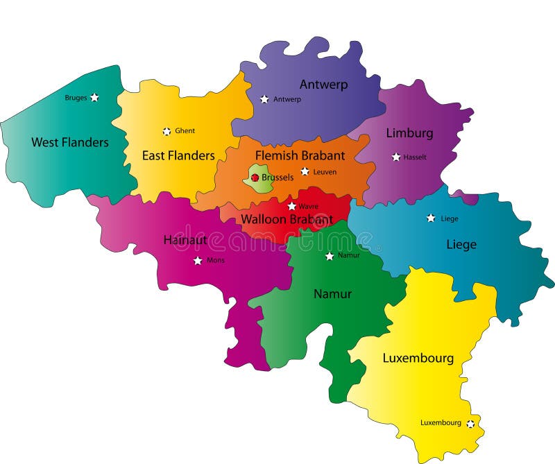
Free with trial Belgium map designed in illustration with the regions colored in bright colors and with the main cities. Neighbouring countries are in an additional format (. AI) in the latent layer. Map vectors Map of Belgium. Belgium map designed in illustration with the regions colored in bright colors and with the main cities. Neighbouring countries are in an. Belgium map designed in illustration with the regions colored in bright colors and with the main cities. Neighbouring countries are in an additional format (. AI) in the latent layer.
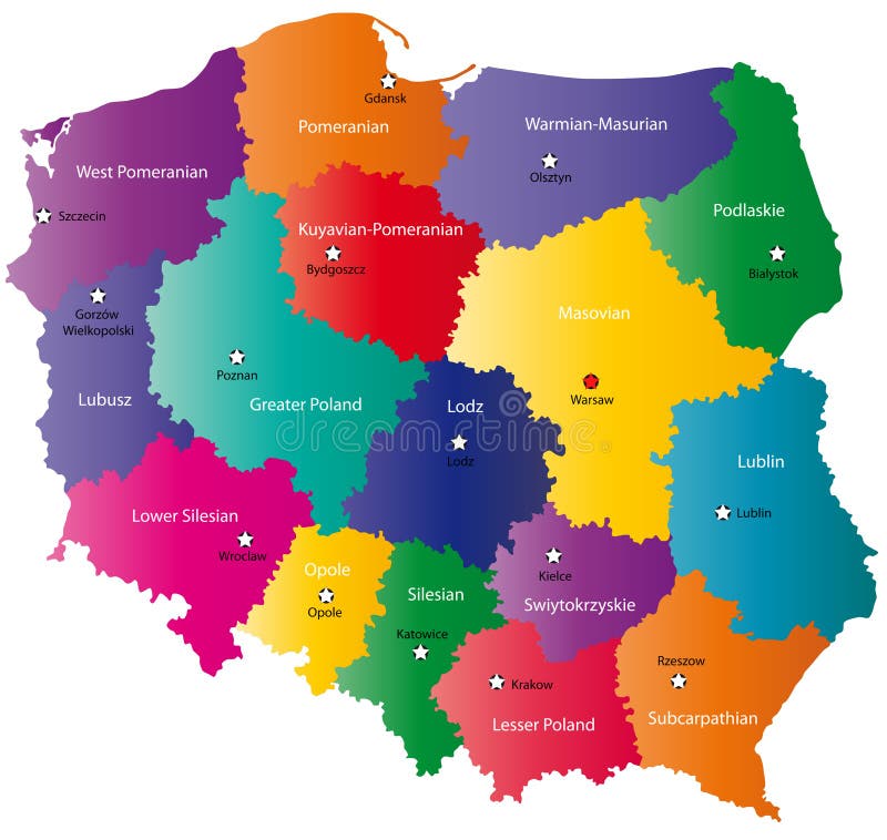
Free with trial Poland map designed in illustration with the 16 provinces colored in bright colors and with the main cities. Neighbouring countries are in an additional format (. AI) in the latent layer. Map vectors Color Poland map. Poland map designed in illustration with the 16 provinces colored in bright colors and with the main cities. Neighbouring countries are in an. Poland map designed in illustration with the 16 provinces colored in bright colors and with the main cities. Neighbouring countries are in an additional format (.AI) in the latent layer.
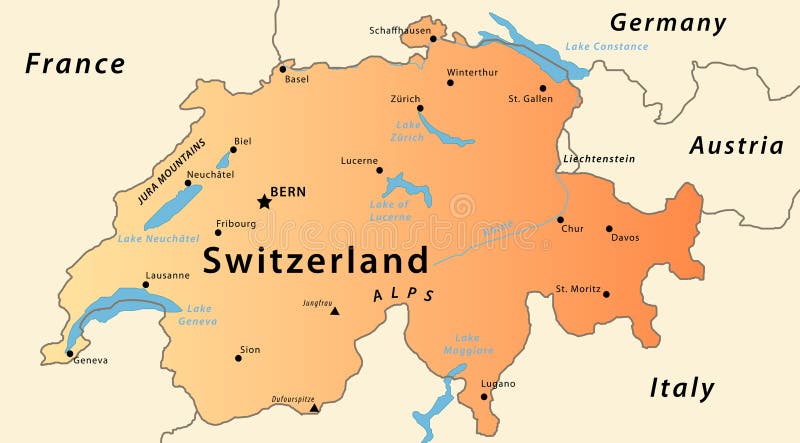
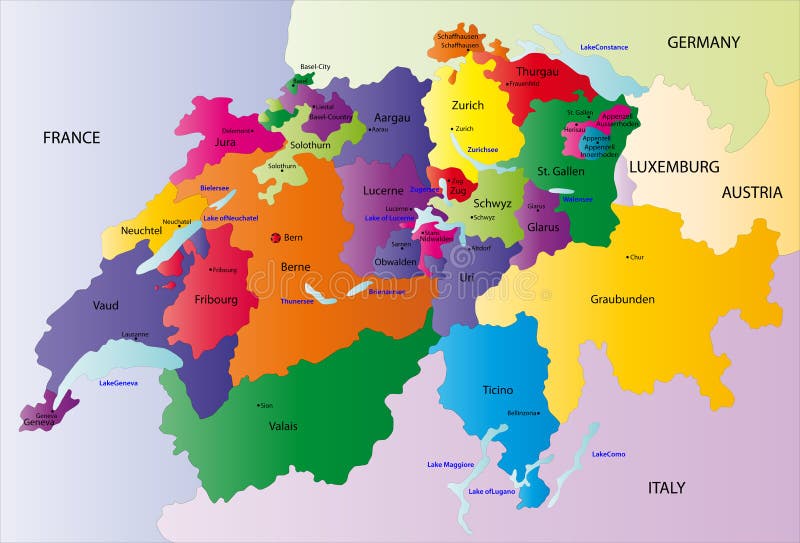
Free with trial Switzerland map. Illustration of a detailed political map of Switzlerand, with the most important cities, river, mountains and lakes. Map vectors Switzerland map. Illustration of a detailed political map of Switzlerand, with the most important cities, river, mountains and lakes
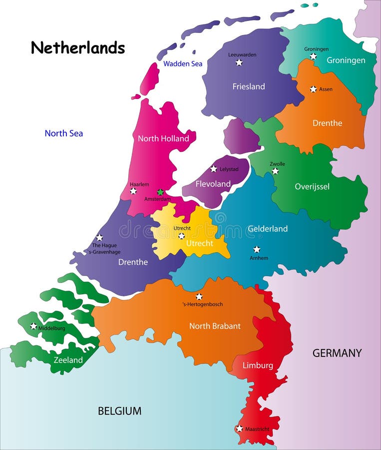
Free with trial Netherlands map designed in illustration with the regions colored in bright colors and with the main cities. On an illustration neighbouring countries are shown too. Map vectors Netherlands map. Designed in illustration with the regions colored in bright colors and with the main cities. On an illustration neighbouring countries are
Free with trial Switzerland map designed in illustration with the regions colored in bright colors and with the main cities. Neighbouring countries are in an additional format (. AI) in the latent layer. Map vectors Switzerland map. Designed in illustration with the regions colored in bright colors and with the main cities. Neighbouring countries are in an additional format. Switzerland map designed in illustration with the regions colored in bright colors and with the main cities. Neighbouring countries are in an additional format (. AI) in the latent layer.
Free with trial World map - vector. World map outline and silhouette shadowed green vector map. Map vectors World map - vector. World map outline and silhouette shadowed green vector map
Free with trial Spain map designed in illustration with the regions colored in bright colors and with the main cities. On an illustration neighbouring countries are shown too. Map vectors Vector Spain map. Spain map designed in illustration with the regions colored in bright colors and with the main cities. On an illustration neighbouring. Spain map designed in illustration with the regions colored in bright colors and with the main cities. On an illustration neighbouring countries are shown too
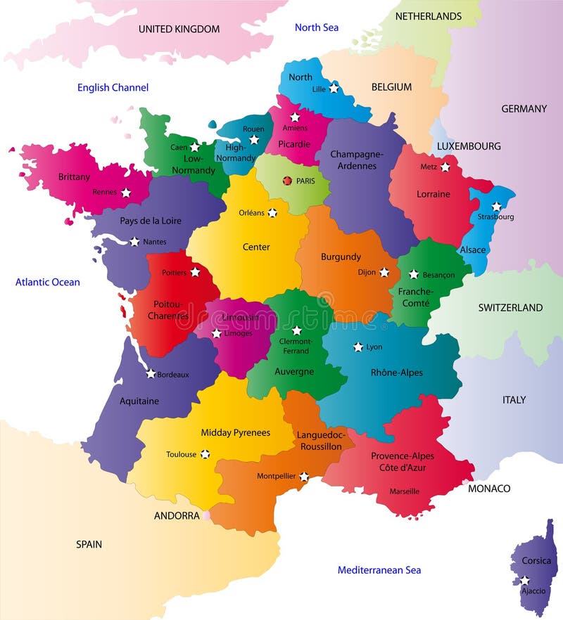
Free with trial France map designed in illustration with the regions colored in bright colors and with the main cities. On an illustration neighbouring countries are shown too. Map vectors Vector France map. France map designed in illustration with the regions colored in bright colors and with the main cities. On an illustration neighbouring. France map designed in illustration with the regions colored in bright colors and with the main cities. On an illustration neighbouring countries are shown too.
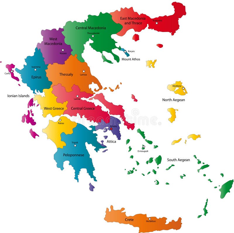
Free with trial Greece map designed in illustration with the regions colored in bright colors and with the main cities. Neighbouring countries are in an additional format (. AI) in the latent layer. Map vectors Vector Greece map. Greece map designed in illustration with the regions colored in bright colors and with the main cities. Neighbouring countries are in an. Greece map designed in illustration with the regions colored in bright colors and with the main cities. Neighbouring countries are in an additional format (.AI) in the latent layer.
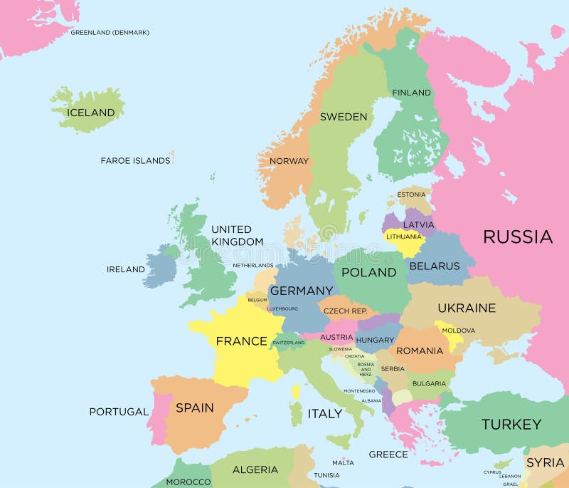
Free with trial Coloured political map of Europe. Map vectors Coloured political map of Europe. Colored political map of Europe
Free with trial Turkey map with flag. Map of Turkey filled with its waving flag. Map vectors Turkey map with flag. Map of Turkey filled with its waving flag
Free with trial A white world map over a background of different flags of the world. Map vectors World Flag Map White. A white world map over a background of different flags of the world. A white world map over a background of different flags of the world.
Free with trial Cartoon treasure map. Illustration of a cute cartoon treasure map. EPS file available. Map vectors Cartoon treasure map. Illustration of a cute cartoon treasure map. EPS file available
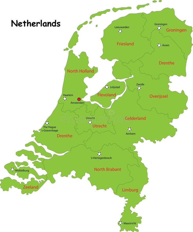
Free with trial Netherlands map designed in illustration with the regions colored in green colors and with the main cities. Neighbouring countries are in an additional format (. AI) in the latent layer. Map vectors Vector Netherlands map. Netherlands map designed in illustration with the regions colored in green colors and with the main cities. Neighbouring countries are in. Netherlands map designed in illustration with the regions colored in green colors and with the main cities. Neighbouring countries are in an additional format (.AI) in the latent layer.
Free with trial Switzerland map designed in illustration with the regions colored in bright colors and with the main cities. On an illustration neighbouring countries are shown too. Map vectors Vector Switzerland map. Switzerland map designed in illustration with the regions colored in bright colors and with the main cities. On an illustration. Switzerland map designed in illustration with the regions colored in bright colors and with the main cities. On an illustration neighbouring countries are shown too
Free with trial Vector map of Australia. Vector illustration of a map and flag from Australia. Map vectors Vector map of Australia. Vector illustration of a map and flag from Australia
Free with trial Map pin. This image is a vector illustration. Map vectors Map pin. This image is a vector illustration.Map pin
Free with trial Vector set of all world flags arranged in alphabetical order isolated on white background. World map with countries names and bord. Vector set of all world flags. Map vectors Vector set of all world flags arranged in alphabetical order isolated on white background. World map with countries names and bord. Vector set of all world flags
Free with trial United States of America map with hawaii. Vector. Map vectors United States of America map with hawaii. Vector
Free with trial Map pins. In colors, red, green and blue. Map vectors Map pins. In colors, red, green and blue
Free with trial Italy map. Colour Italy map with cities on a white background. Map vectors Italy map. Colour Italy map with cities on a white background
Free with trial Coloured political map of the world vector. Political map of the world. Map vectors Coloured political map of the world vector. Political map of the world
Free with trial Taiwan map. Color Taiwan map with regions on a white background. Map vectors Taiwan map. Color Taiwan map with regions on a white background
Free with trial Vector clip art map of United States of America USA, with all fifty states showing, including Alaska and Hawai, with linear gradient in the colors of the american flag. Reference source:. Map vectors US Flag Map. Vector clip art map of United States of America USA, with all fifty states showing, including Alaska and Hawai, with linear gradient in the colors. Vector clip art map of United States of America USA, with all fifty states showing, including Alaska and Hawai, with linear gradient in the colors of the american flag. Reference source:
Free with trial Switzerland map designed in illustration with the regions colored in green colors and with the main cities. Neighbouring countries are in an additional format (. AI) in the latent layer. Map vectors Switzerland map,. Switzerland map designed in illustration with the regions colored in green colors and with the main cities. Neighbouring countries are in an. Switzerland map designed in illustration with the regions colored in green colors and with the main cities. Neighbouring countries are in an additional format (. AI) in the latent layer.
Free with trial United States of America Map With Waving Flag. Map vectors United States of America Map With Waving Flag
Free with trial Map of London. Vector map of London's sights. Map vectors Map of London. Vector map of London's sights
Free with trial A world map in which the countries are filled in with their flags. Map vectors World Flag Map. A world map in which the countries are filled in with their flags. A world map in which the countries are filled in with their flags.
Free with trial Dubai city map with road. Map vectors Dubai city map. Dubai city map with road. Dubai city map with road.
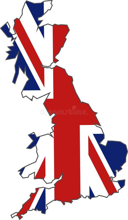
Free with trial British Flag Map. Map of Britain and the union jack illustration. Map vectors British Flag Map. Map of Britain and the union jack illustration
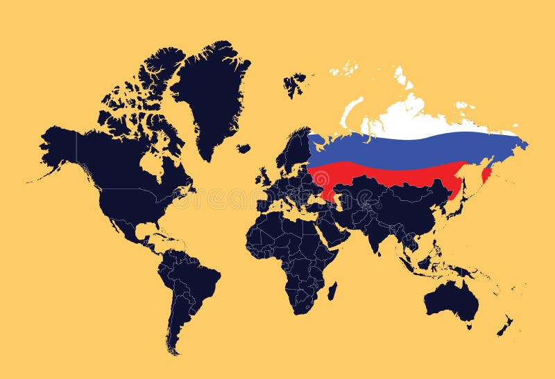
Free with trial An illustration ow world map showing Russian Federation (represented by the flag). Map vectors World map showing Russian Federation. An illustration ow world map showing Russian Federation (represented by the flag. An illustration ow world map showing Russian Federation (represented by the flag)
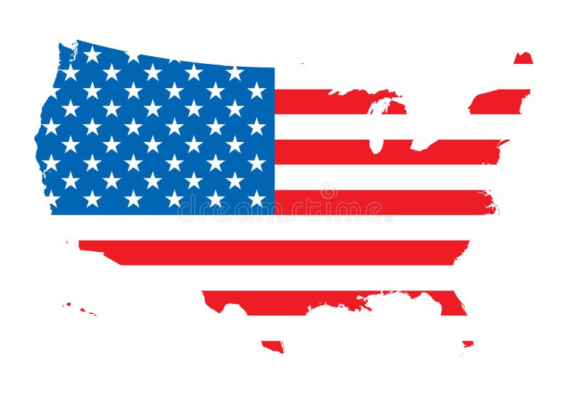
Free with trial Usa map with flag. Illustrated usa map with flag. Map vectors Usa map with flag. Illustrated usa map with flag
Free with trial Illustrated pictorial map of eastern United States. Includes Pennsylvania, New Jersey, West Virginia, Virginia, North Carolina, Delaware and Maryland. Vector Illustration. Map vectors Illustrated pictorial map of eastern United States. Includes Pennsylvania, New Jersey, West Virginia, Virginia, North Carolina, Delaware and Maryland. Vector
Free with trial China map and flag. Art illustration: china map and flag. Map vectors China map and flag. Art illustration: china map and flag
Free with trial Map of the European Union. The capitals and the borders can be easily removed. Map vectors European Union Map. Map of the European Union. The capitals and the borders can be easily removed. Map of the European Union. The capitals and the borders can be easily removed.
Free with trial Political world map. With infographic elements for your designs. Map vectors Political world map. With infographic elements for your designs
Free with trial Map of US with flag. Map of US with American flag. Map vectors Map of US with flag. Map of US with American flag
Free with trial Map of US with flag. Map of US with American flag. Map vectors Map of US with flag. Map of US with American flag
Free with trial Map of European union. And EU flag illustration. Map vectors Map of European union. And EU flag illustration
Free with trial Australia map and flag. Art illustration: australia map and flag. Map vectors Australia map and flag. Art illustration: australia map and flag
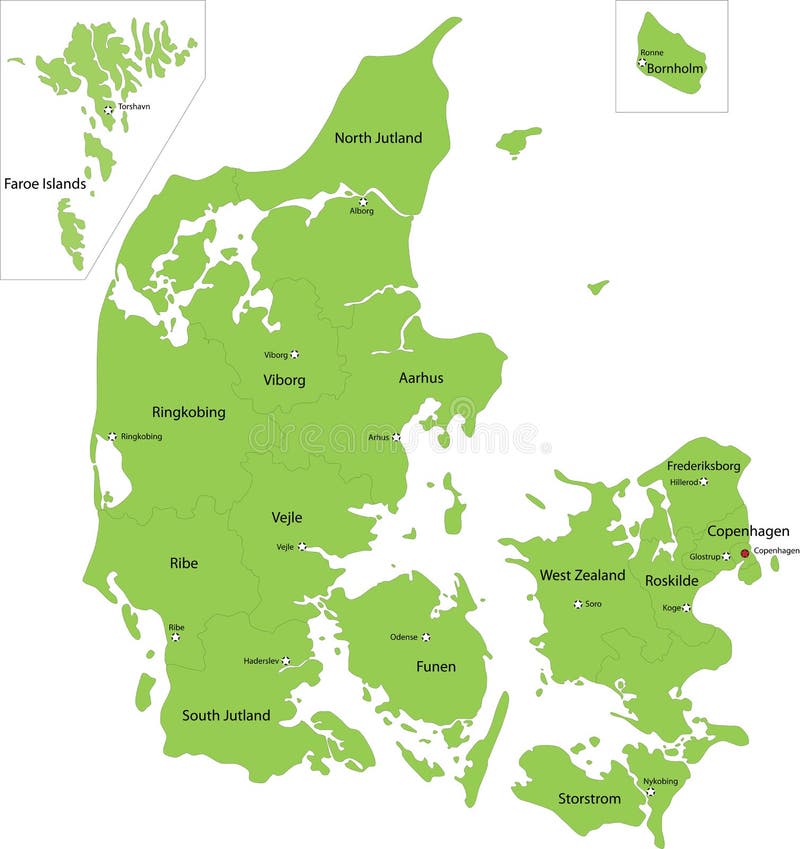
Free with trial Denmark map designed in illustration with the regions colored in green colors and with the main cities. Neighbouring countries are in an additional format (. AI) in the latent layer. Map vectors Denmark map. Designed in illustration with the regions colored in green colors and with the main cities. Neighbouring countries are in an additional format (.AI
Free with trial Drawing of the map of Spain (from CMYK to RGB). Map vectors Map flag Spain (vector). Drawing of the map of Spain (from CMYK to RGB. Drawing of the map of Spain (from CMYK to RGB)
Free with trial Vector map of indonesia. Black vector map of indonesia. Map vectors Vector map of indonesia. Black vector map of indonesia
Free with trial 3D USA map with US flag. With stars and stripes. Map vectors 3D USA map with US flag. With stars and stripes
Free with trial Map flag Italy (vector). Drawing of the map of Italy. Map vectors Map flag Italy (vector). Drawing of the map of Italy
Free with trial United States of America map outline vector illustartion. USA map. Outline isolated on white background. Map vectors United States of America map outline vector illustartion.USA map. Outline isolated on white background
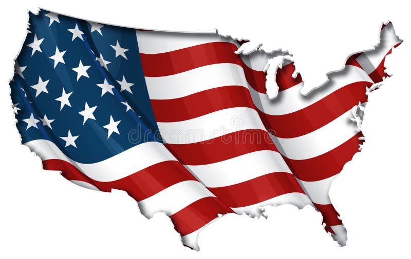
Free with trial USA map cut-out, highly detailed on the edge, with waving stars & stripes underneath. Settle thickness carefully shaded following the inner shadow light source. EPS v. 10 file with neatly organised and named layers and a 24 Mpxl Q12 JPEG preview. On and off combinations on the flags 5 shading layers can produce different styles and outcomes. Transparency is used on the shading layers. Map vectors US Flag-Map Inner Shadow. USA map cut-out, highly detailed on the edge, with waving stars & stripes underneath. Settle thickness carefully shaded following the. USA map cut-out, highly detailed on the edge, with waving stars & stripes underneath. Settle thickness carefully shaded following the inner shadow light source. EPS v.10 file with neatly organised and named layers and a 24 Mpxl Q12 JPEG preview. On and off combinations on the flags 5 shading layers can produce different styles and outcomes. Transparency is used on the shading layers.
Free with trial Mexico map. Vector illustration of Mexico map. Map vectors Mexico map. Vector illustration of Mexico map
Free with trial Germany map. Republic of Germany map and flag illustration. Map vectors Germany map. Republic of Germany map and flag illustration
Free with trial Vector map of North America. All states are separated, so they can be used individually. It also contains the U. S. A. flag. Map vectors North America political map. Vector map of North America. All states are separated, so they can be used individually. It also contains the U.S.A. flag. Vector map of North America. All states are separated, so they can be used individually. It also contains the U.S.A. flag.
Free with trial Map of state of South Carolina. Map of the State of South Carolina and their flag. Map vectors Map of state of South Carolina. Map of the State of South Carolina and their flag
Free with trial Detailed Asian flags and map. Manually traced from public domain map. EPS file available. Map vectors Detailed Asian flags and map. Manually traced from public domain map. EPS file available
Free with trial Map Dominican Republic-Vector. Illustration Vector of a Map and Flag from Dominican Republic. Map vectors Map Dominican Republic-Vector. Illustration Vector of a Map and Flag from Dominican Republic
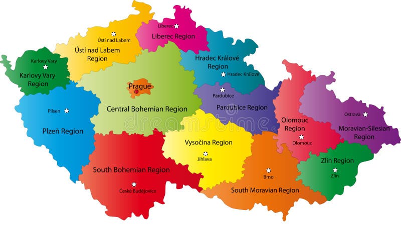
Free with trial Czech Republic map designed in illustration with the regions colored in bright colors and with the main cities. Neighbouring countries are in an additional format (. AI) in the latent layer. Map vectors Czech Republic map. Designed in illustration with the regions colored in bright colors and with the main cities. Neighbouring countries are in an additional. Czech Republic map designed in illustration with the regions colored in bright colors and with the main cities. Neighbouring countries are in an additional format (.AI) in the latent layer.
Free with trial Map of Japan and Japanese flag. Illustration. Map vectors Map of Japan and Japanese flag. Illustration
Free with trial European country flags and map. All elements and textures are individual objects. Vector illustration scale to any size. Map vectors European country flags and map. All elements and textures are individual objects. Vector illustration scale to any size
Free with trial Coloured political map of Asia. Map vectors Coloured political map of Asia. Colored political map of Asia
Free with trial Vector map of Haiti. Black vector map of Haiti. Map vectors Vector map of Haiti. Black vector map of Haiti
Free with trial Symbols of France in the form of a map. Traditional symbols of France in the form of map. Map vectors Symbols of France in the form of a map. Traditional symbols of France in the form of map
Free with trial Group of map navigation icons and pin. On white background. Map vectors Group of map navigation icons and pin. On white background
Free with trial Group of map navigation icons and pin. On white background. Map vectors Group of map navigation icons and pin. On white background
Free with trial Old world map with decorative elements. High detailed, Old world map with decorative elements. Map vectors Old world map with decorative elements. High detailed, Old world map with decorative elements
Free with trial Russia Map. 3D Map of Russia with flag. Map vectors Russia Map. 3D Map of Russia with flag
Free with trial Map of usa. A colorful map of the usa. Map vectors Map of usa. A colorful map of the usa
Free with trial Us map flag. Map of america outlined with the flag of the us. Map vectors Us map flag. Map of america outlined with the flag of the us
Free with trial Map of Paris. Vector map of Paris's sights. Map vectors Map of Paris. Vector map of Paris's sights
Free with trial Map-icon-gps. City map and gps icons and pushpins. Map vectors Map-icon-gps. City map and gps icons and pushpins
Free with trial Blind map of Netherlands with regions borders. Names of the regions, main cities, and neighbouring countries are in an additional format (. AI) in the latent layer. Map vectors Map of Netherlands. Blind map of Netherlands with regions borders. Names of the regions, main cities, and neighbouring countries are in an additional format (.AI. Blind map of Netherlands with regions borders. Names of the regions, main cities, and neighbouring countries are in an additional format (.AI) in the latent layer.
 Sign in